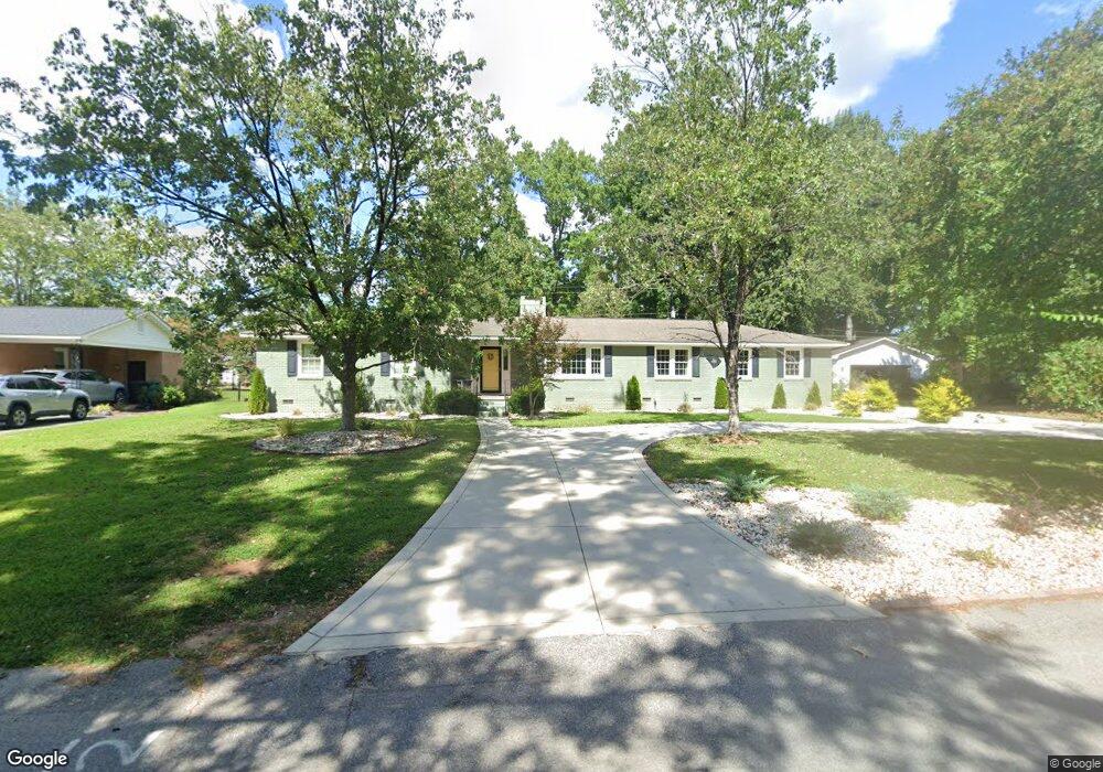
6411 Merrill Rd Columbia, SC 29209
The Hamptons NeighborhoodEstimated Value: $317,980 - $416,000
3
Beds
2
Baths
2,076
Sq Ft
$175/Sq Ft
Est. Value
About This Home
This home is located at 6411 Merrill Rd, Columbia, SC 29209 and is currently estimated at $362,495, approximately $174 per square foot. 6411 Merrill Rd is a home located in Richland County with nearby schools including Meadowfield Elementary School, Hand Middle School, and Dreher High School.
Ownership History
Date
Name
Owned For
Owner Type
Purchase Details
Closed on
Oct 17, 2011
Sold by
Miller Pamela S
Bought by
Holmes Katherine W
Current Estimated Value
Home Financials for this Owner
Home Financials are based on the most recent Mortgage that was taken out on this home.
Original Mortgage
$219,198
Outstanding Balance
$150,579
Interest Rate
4.25%
Mortgage Type
FHA
Estimated Equity
$211,916
Purchase Details
Closed on
Jan 14, 2011
Sold by
Estate Of Nigel Rudolph Miller
Bought by
Miller Pamela S
Create a Home Valuation Report for This Property
The Home Valuation Report is an in-depth analysis detailing your home's value as well as a comparison with similar homes in the area
Home Values in the Area
Average Home Value in this Area
Purchase History
| Date | Buyer | Sale Price | Title Company |
|---|---|---|---|
| Holmes Katherine W | $224,900 | -- | |
| Miller Pamela S | -- | -- |
Source: Public Records
Mortgage History
| Date | Status | Borrower | Loan Amount |
|---|---|---|---|
| Open | Holmes Katherine W | $219,198 |
Source: Public Records
Tax History Compared to Growth
Tax History
| Year | Tax Paid | Tax Assessment Tax Assessment Total Assessment is a certain percentage of the fair market value that is determined by local assessors to be the total taxable value of land and additions on the property. | Land | Improvement |
|---|---|---|---|---|
| 2024 | $1,490 | $215,900 | $0 | $0 |
| 2023 | $1,490 | $7,508 | $0 | $0 |
| 2022 | $1,362 | $187,700 | $41,800 | $145,900 |
| 2021 | $1,406 | $7,510 | $0 | $0 |
| 2020 | $1,483 | $7,510 | $0 | $0 |
| 2019 | $1,494 | $7,510 | $0 | $0 |
| 2018 | $1,329 | $6,530 | $0 | $0 |
| 2017 | $1,294 | $6,530 | $0 | $0 |
| 2016 | $1,248 | $6,530 | $0 | $0 |
| 2015 | $1,248 | $6,530 | $0 | $0 |
| 2014 | $1,247 | $163,200 | $0 | $0 |
| 2013 | -- | $6,530 | $0 | $0 |
Source: Public Records
Map
Nearby Homes
- 6603 Christie Rd
- 6627 Christie Rd
- 6400 Saye Cut
- 497 Galway Ln
- 405 Black Friars Rd
- 513 Knollwood Dr
- 109 Rosebank Dr
- 821 Walters Ln
- 444 Cami Forest Ln
- 604 Hampton Trace Ln
- 811 Rockwood Rd
- 509 Burnside Dr
- 622 Chimney Hill Rd
- 755 Burnside Dr
- 104 Preserve Ln
- 1040 Coatesdale Rd
- 206 Hampton Forest Dr
- 404 Hampton Forest Dr
- 9 Ansley Ct
- 411 Hampton Forest Dr
- 6403 Merrill Rd
- 6419 Merrill Rd
- 122 Christopher St
- 126 Wembley St
- 6325 Merrill Rd
- 6412 Merrill Rd
- 6427 Merrill Rd
- 6404 Merrill Rd
- 118 Christopher St
- 126 Christopher St
- 6420 Merrill Rd
- 130 Wembley St
- 122 Wembley St
- 6328 Merrill Rd
- 6315 Merrill Rd
- 6503 Merrill Rd
- 6428 Merrill Rd
- 6411 Christie Rd
- 130 Christopher St
- 6320 Merrill Rd