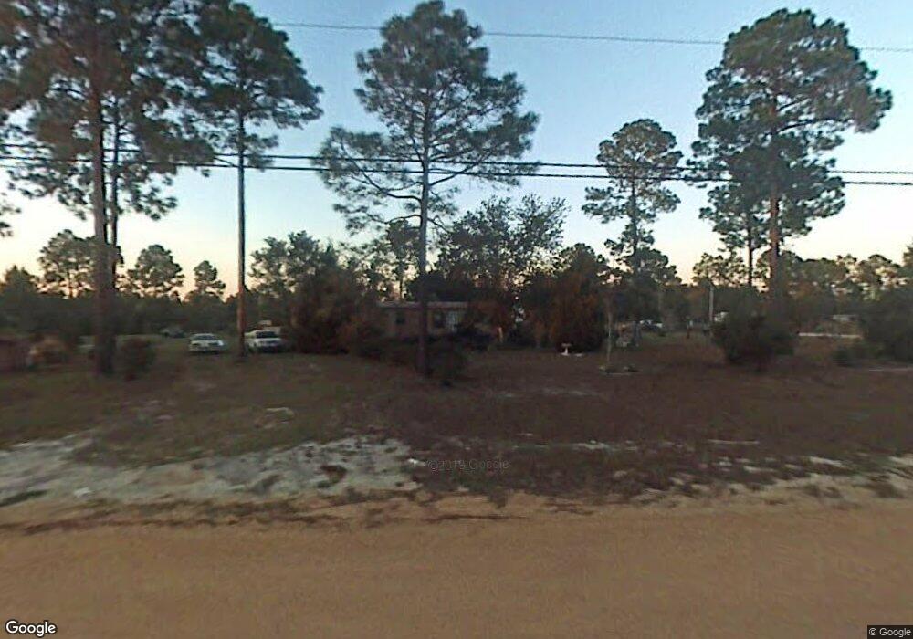
6411 Rogers Dr Youngstown, FL 32466
Estimated Value: $32,821 - $36,000
--
Bed
--
Bath
924
Sq Ft
$37/Sq Ft
Est. Value
About This Home
This home is located at 6411 Rogers Dr, Youngstown, FL 32466 and is currently estimated at $34,607, approximately $37 per square foot. 6411 Rogers Dr is a home located in Bay County with nearby schools including Waller Elementary School, Merritt Brown Middle School, and A. Crawford Mosley High School.
Ownership History
Date
Name
Owned For
Owner Type
Purchase Details
Closed on
Apr 1, 2016
Bought by
Mc Spadden David L Sr Trustee
Current Estimated Value
Purchase Details
Closed on
Mar 24, 2016
Sold by
Forter Brian Keith
Bought by
Mespadden David I
Purchase Details
Closed on
Dec 2, 2015
Sold by
Tatum William Lloyd
Bought by
Fortier Brian Keith
Purchase Details
Closed on
Nov 29, 2011
Sold by
Flores Victor and Flores Cookie Gelene
Bought by
Tatum William Lloyd
Create a Home Valuation Report for This Property
The Home Valuation Report is an in-depth analysis detailing your home's value as well as a comparison with similar homes in the area
Home Values in the Area
Average Home Value in this Area
Purchase History
| Date | Buyer | Sale Price | Title Company |
|---|---|---|---|
| Mc Spadden David L Sr Trustee | $100 | -- | |
| Mcspadden David L | $7,500 | Diamond Title Agency Inc | |
| Mespadden David I | $500 | None Available | |
| Fortier Brian Keith | $10,000 | Diamond Title Agency Inc | |
| Tatum William Lloyd | -- | None Available |
Source: Public Records
Tax History Compared to Growth
Tax History
| Year | Tax Paid | Tax Assessment Tax Assessment Total Assessment is a certain percentage of the fair market value that is determined by local assessors to be the total taxable value of land and additions on the property. | Land | Improvement |
|---|---|---|---|---|
| 2024 | $200 | $17,565 | -- | -- |
| 2023 | $200 | $16,018 | $16,018 | $0 |
| 2022 | $168 | $14,516 | $14,516 | $0 |
| 2021 | $173 | $14,516 | $14,516 | $0 |
| 2020 | $162 | $13,545 | $13,545 | $0 |
| 2019 | $147 | $12,272 | $12,272 | $0 |
| 2018 | $149 | $12,272 | $0 | $0 |
| 2017 | $147 | $11,892 | $0 | $0 |
| 2016 | $145 | $11,402 | $0 | $0 |
| 2015 | $294 | $19,312 | $0 | $0 |
| 2014 | $305 | $20,103 | $0 | $0 |
Source: Public Records
Map
Nearby Homes
- 9107 Ruff Rd
- 9108 Ruff Rd
- 9105 Ruff Rd
- 9106 Ruff Dr
- 6420 Oakenshaw Dr
- LOT 1 Newberry Rd
- LOT 13 Newberry Rd
- 8904 Highway 2301
- 9119 Ibis Ln
- 9129 Ibis Ln
- 0 Highway 2301
- 6618 Bolivia St
- 6702 Oakenshaw Dr
- 9214 Highway 2301
- 10228 Highway 2301
- 6109 Shannon Cir
- 6416 Everly St
- 6047 Jammie Rd
- 9110 Oakridge Ln
- 9412 Pat Rd
- 9027 Ruff Rd
- 6422 Rogers Dr
- 9003 Ruff Rd
- 6408 Rogers Dr
- 9010 Ruff Rd
- 9102 Ruff Rd
- 6334 Rogers Dr
- 6515 Rogers Dr
- 9108 Ruff Rd Unit 446
- 9108 Ruff Rd Unit 456
- 9108 Ruff Rd Unit 448
- 9108 Ruff Rd Unit 454
- 0000 Ruff Rd
- 9106 Ruff Rd
- 9107 Newberry Rd
- 9107 Ruff Dr
- 6431 Wolfe Ln
- 6439 Wolfe Ln
- 8921 Ruff Rd
- 6611 Keiber Cir
