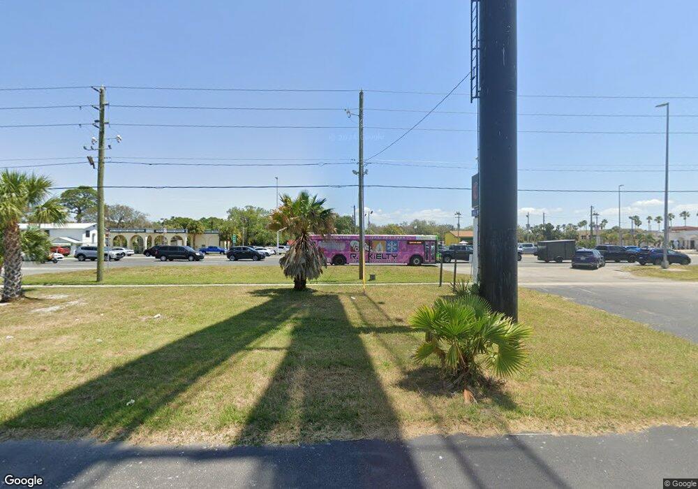
6411 Us Highway 19 New Port Richey, FL 34652
New Port Richey West NeighborhoodEstimated Value: $377,000
--
Bed
--
Bath
--
Sq Ft
3.9
Acres
About This Home
This home is located at 6411 Us Highway 19, New Port Richey, FL 34652 and is currently priced at $377,000. 6411 Us Highway 19 is a home located in Pasco County with nearby schools including Richey Elementary School, Gulf Middle School, and Gulf High School.
Ownership History
Date
Name
Owned For
Owner Type
Purchase Details
Closed on
Jul 17, 2018
Sold by
93 Ave B Holding Corp
Bought by
S & T Collision Enterprises Inc
Current Estimated Value
Create a Home Valuation Report for This Property
The Home Valuation Report is an in-depth analysis detailing your home's value as well as a comparison with similar homes in the area
Home Values in the Area
Average Home Value in this Area
Purchase History
| Date | Buyer | Sale Price | Title Company |
|---|---|---|---|
| S & T Collision Enterprises Inc | $1,575,000 | Attorney | |
| 93 Ave B Holding Corp | -- | Attorney |
Source: Public Records
Tax History Compared to Growth
Tax History
| Year | Tax Paid | Tax Assessment Tax Assessment Total Assessment is a certain percentage of the fair market value that is determined by local assessors to be the total taxable value of land and additions on the property. | Land | Improvement |
|---|---|---|---|---|
| 2025 | $1,801 | $71,146 | $67,361 | $3,785 |
| 2024 | $1,801 | $71,146 | $67,361 | $3,785 |
| 2023 | $1,737 | $67,048 | $63,263 | $3,785 |
| 2022 | $3,202 | $157,205 | $153,420 | $3,785 |
| 2021 | $2,815 | $116,224 | $112,439 | $3,785 |
| 2020 | $2,737 | $111,443 | $107,658 | $3,785 |
| 2019 | $2,756 | $111,443 | $107,658 | $3,785 |
| 2018 | $2,759 | $111,443 | $107,658 | $3,785 |
| 2017 | $0 | $111,443 | $107,658 | $3,785 |
| 2016 | $2,332 | $111,443 | $107,658 | $3,785 |
| 2015 | -- | $124,724 | $121,319 | $3,405 |
| 2014 | -- | $75,274 | $71,869 | $3,405 |
Source: Public Records
Map
Nearby Homes
- 6513 Carly Dr Unit 6
- 6518 Brandon Dr Unit 64
- 0 Main St Unit MFRTB8414402
- 1-2 Green Key Rd
- 5065 Royal Palms Way Unit 303
- 5088 Royal Palms Way Unit 304
- 6345 Lambert Ln
- 6618 Statice Ln
- 6394 Banyan Blvd Unit 204
- 6420 Oelsner St
- 5110 Southtowne Loop
- 6395 Banyan Blvd Unit 301
- 5015 Green Key Rd
- 6317 Oelsner St
- 6521 Oelsner St
- 6313 Oelsner St
- 6307 Oelsner St Unit 11&12
- 6620 Oelsner St
- 6644 Oelsner St
- 6632 Sierra Terrace
- 54165418 Bridge Rd
- 54085412 Bridge Rd
- 54085412 Bridge Rd
- 6434 U S 19
- 6407 Preston Dr
- 6518 Us Highway 19
- 5307 Main St
- 5111 Royal Palms Way Unit 201
- 5111 Royal Palms Way Unit 203
- 5111 Royal Palms Way
- 5111 Royal Palms Way Unit 202
- 5111 5111 Royal Palms Way Unit 202
- 6340 E Providence St Unit 206
- 6340 E Providence St Unit 205
- 6340 E Providence St Unit 204
- 6340 E Providence St Unit 203
- 6340 E Providence St Unit 202
- 6340 E Providence St Unit 201
- 6340 E Providence St Unit 117
- 6340 E Providence St Unit 116