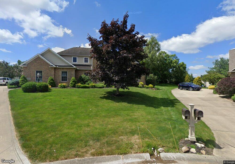
6412 Grayson Cir NW Canton, OH 44718
Lake Cable NeighborhoodEstimated Value: $471,000 - $578,000
4
Beds
3
Baths
2,921
Sq Ft
$175/Sq Ft
Est. Value
About This Home
This home is located at 6412 Grayson Cir NW, Canton, OH 44718 and is currently estimated at $510,090, approximately $174 per square foot. 6412 Grayson Cir NW is a home located in Stark County with nearby schools including Strausser Elementary School, Jackson Memorial Middle School, and Jackson High School.
Ownership History
Date
Name
Owned For
Owner Type
Purchase Details
Closed on
Dec 27, 2005
Sold by
Schrader Scott W and Schrader Diane E
Bought by
Schrader Scott W and Schrader Diane E
Current Estimated Value
Purchase Details
Closed on
Apr 8, 2002
Sold by
Rea Building Corporation
Bought by
Schrader Scott W and Schrader Diane E
Home Financials for this Owner
Home Financials are based on the most recent Mortgage that was taken out on this home.
Original Mortgage
$207,900
Outstanding Balance
$86,553
Interest Rate
6.87%
Mortgage Type
Purchase Money Mortgage
Estimated Equity
$423,537
Purchase Details
Closed on
Sep 4, 2001
Sold by
T S C S
Bought by
Rea Building Corp
Home Financials for this Owner
Home Financials are based on the most recent Mortgage that was taken out on this home.
Original Mortgage
$282,825
Interest Rate
7.03%
Mortgage Type
Purchase Money Mortgage
Create a Home Valuation Report for This Property
The Home Valuation Report is an in-depth analysis detailing your home's value as well as a comparison with similar homes in the area
Home Values in the Area
Average Home Value in this Area
Purchase History
| Date | Buyer | Sale Price | Title Company |
|---|---|---|---|
| Schrader Scott W | -- | -- | |
| Schrader Scott W | $317,900 | -- | |
| Rea Building Corp | $48,500 | -- |
Source: Public Records
Mortgage History
| Date | Status | Borrower | Loan Amount |
|---|---|---|---|
| Open | Schrader Scott W | $207,900 | |
| Previous Owner | Rea Building Corp | $282,825 |
Source: Public Records
Tax History Compared to Growth
Tax History
| Year | Tax Paid | Tax Assessment Tax Assessment Total Assessment is a certain percentage of the fair market value that is determined by local assessors to be the total taxable value of land and additions on the property. | Land | Improvement |
|---|---|---|---|---|
| 2025 | -- | $157,540 | $35,700 | $121,840 |
| 2024 | -- | $157,540 | $35,700 | $121,840 |
| 2023 | $6,071 | $121,630 | $27,200 | $94,430 |
| 2022 | $6,060 | $121,630 | $27,200 | $94,430 |
| 2021 | $6,083 | $121,630 | $27,200 | $94,430 |
| 2020 | $5,530 | $101,570 | $23,450 | $78,120 |
| 2019 | $5,328 | $101,580 | $23,460 | $78,120 |
| 2018 | $5,355 | $101,580 | $23,460 | $78,120 |
| 2017 | $5,504 | $99,380 | $21,430 | $77,950 |
| 2016 | $5,843 | $104,700 | $21,430 | $83,270 |
| 2015 | $5,907 | $104,700 | $21,430 | $83,270 |
| 2014 | $1,685 | $96,360 | $19,710 | $76,650 |
| 2013 | $2,796 | $96,360 | $19,710 | $76,650 |
Source: Public Records
Map
Nearby Homes
- 6451 Shenandoah Ave NW
- 6311 Sorrento Ave NW
- 7034 Celina St NW
- 0 Wales Ave NW Unit 5025654
- 6540 Lorraine Ave NW
- 6296 Margate Cir NW
- 6513 Forestwood St NW
- 6541 Lorraine Ave NW
- 6720 Hogan Way NW Unit 10
- 6572 Portage St NW
- 6594 Shipslanding Ave NW
- 6104 Shipslanding Ave NW
- 6394 Bayside St NW
- 7412 Klingston St NW
- 6640 Palmer Dr NW
- 5820 Kildare Cir NW
- 6279 Palmer Dr NW
- 7035 Harvey Ave NW Unit 9
- 6257 Island Dr NW
- 7057 Harvey Ave NW Unit 5
- 6419 Grayson Cir NW
- 6887 Thornwood St NW
- 6416 Grayson Cir NW
- 6909 Thornwood St NW
- 6865 Thornwood St NW
- 6400 Weston Ave NW
- 6428 Grayson Cir NW
- 6437 Grayson Cir NW
- 6931 Thornwood St NW
- 6841 Thornwood St NW
- 6422 Weston Ave NW
- 6450 Grayson Cir NW
- 6455 Grayson Cir NW
- 6817 Thornwood St NW
- 6440 Weston Ave NW
- 6433 Shenandoah Ave NW
- 6878 Thornwood St NW
- 6898 Thornwood St NW
- 6922 Thornwood St NW
- 6856 Thornwood St NW