64121 Garrett Rd Bethesda, OH 43719
Estimated Value: $62,000
--
Bed
2
Baths
--
Sq Ft
0.52
Acres
About This Home
This home is located at 64121 Garrett Rd, Bethesda, OH 43719 and is currently estimated at $62,000. 64121 Garrett Rd is a home located in Belmont County with nearby schools including Union Local Elementary School, Union Local Middle School, and Union Local High School.
Ownership History
Date
Name
Owned For
Owner Type
Purchase Details
Closed on
Feb 19, 2018
Sold by
Kemp Dallas Roger
Bought by
Dallas R Kemp Revocable Trust
Current Estimated Value
Purchase Details
Closed on
Apr 22, 2008
Sold by
Kemp Dallas Roger and Kemp Billi R
Bought by
Kemp Dallas Roger and Kemp Billi R
Purchase Details
Closed on
Jul 20, 2004
Sold by
Carpenter Billi Rae
Bought by
Carpenter Billi Rae
Purchase Details
Closed on
Jan 1, 1986
Sold by
Carpenter Billi Rae and Carpenter Wil
Bought by
Carpenter Billi Rae and Carpenter Wil
Create a Home Valuation Report for This Property
The Home Valuation Report is an in-depth analysis detailing your home's value as well as a comparison with similar homes in the area
Home Values in the Area
Average Home Value in this Area
Purchase History
| Date | Buyer | Sale Price | Title Company |
|---|---|---|---|
| Dallas R Kemp Revocable Trust | -- | None Available | |
| Kemp Dallas Roger | -- | None Available | |
| Kemp Dallas Roger | -- | Attorney | |
| Carpenter Billi Rae | $13,500 | -- | |
| Carpenter Billi Rae | -- | -- |
Source: Public Records
Tax History Compared to Growth
Tax History
| Year | Tax Paid | Tax Assessment Tax Assessment Total Assessment is a certain percentage of the fair market value that is determined by local assessors to be the total taxable value of land and additions on the property. | Land | Improvement |
|---|---|---|---|---|
| 2024 | $11 | $330 | $330 | -- |
| 2023 | $11 | $320 | $320 | $0 |
| 2022 | $11 | $318 | $318 | $0 |
| 2021 | $11 | $318 | $318 | $0 |
| 2020 | $10 | $280 | $280 | $0 |
| 2019 | $10 | $280 | $280 | $0 |
| 2018 | $10 | $280 | $280 | $0 |
| 2017 | $62 | $1,720 | $1,720 | $0 |
| 2016 | $61 | $1,720 | $1,720 | $0 |
| 2015 | $63 | $1,720 | $1,720 | $0 |
| 2014 | $58 | $1,560 | $1,560 | $0 |
| 2013 | $808 | $22,670 | $1,670 | $21,000 |
Source: Public Records
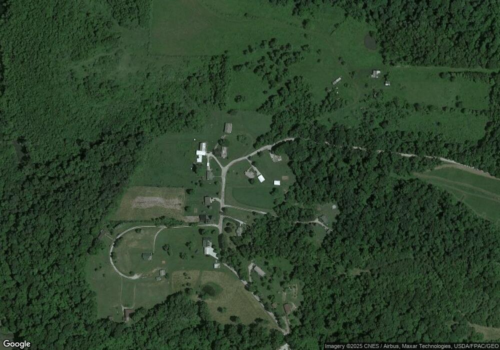
Map
Nearby Homes
- 208 Maple Ave
- 121 Maple Ave
- 40521 Badgersburg Rd
- 319 N Main St
- 224 N Main St
- 101 Willow St
- 331 Front St
- 302 Judson St
- 201 Pear Unit Lot23
- 201 Pear Unit 21
- 201 Pear Unit LOT 31
- 201 Pear Unit LOT 6
- 0 National Rd
- 39991 National Rd
- 0 National Rd Unit 5154946
- 201 Brown St
- 66164 Belmont Morristown Rd
- 65855 Stone Ridge Dr
- 40900 Havenwood Dr
- INLOT 19 Havenwood
- 64121 Garrett Rd
- 64070 Garrett Rd
- 64110 Garrett Rd
- 64059 Garrett Rd
- 63985 Garrett Rd
- 64060 Garrett Rd
- 63939 Garrett Rd
- 64062 Garrett Rd
- 64064 Garrett Rd
- 63820 Twp 204 Rd
- 63715 Garrett Rd
- 64395 Garrett Rd
- 64540 Garrett Rd
- 39795 Old State Route 147
- 64425 Garrett Rd
- 39879 County Road 98 Rd
- 40019 Barnesville Bethesda Rd
- 39710 Old State Route 147
- 39945 Barnesville Bethesda Rd
- 39999 Barnesville Bethesda Rd