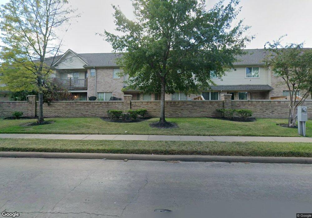
6414 E Linpar Ct Houston, TX 77040
Fairbanks-Northwest Crossing NeighborhoodEstimated Value: $264,000 - $280,000
3
Beds
3
Baths
2,300
Sq Ft
$119/Sq Ft
Est. Value
About This Home
This home is located at 6414 E Linpar Ct, Houston, TX 77040 and is currently estimated at $274,632, approximately $119 per square foot. 6414 E Linpar Ct is a home located in Harris County with nearby schools including Holbrook Elementary School, Dean Middle School, and Cypress Ridge High School.
Ownership History
Date
Name
Owned For
Owner Type
Purchase Details
Closed on
Apr 14, 2005
Sold by
Ballater Ltd
Bought by
Flinn Barry
Current Estimated Value
Home Financials for this Owner
Home Financials are based on the most recent Mortgage that was taken out on this home.
Original Mortgage
$129,500
Outstanding Balance
$67,477
Interest Rate
5.93%
Mortgage Type
Fannie Mae Freddie Mac
Estimated Equity
$207,155
Create a Home Valuation Report for This Property
The Home Valuation Report is an in-depth analysis detailing your home's value as well as a comparison with similar homes in the area
Home Values in the Area
Average Home Value in this Area
Purchase History
| Date | Buyer | Sale Price | Title Company |
|---|---|---|---|
| Flinn Barry | -- | Fidelity National Title |
Source: Public Records
Mortgage History
| Date | Status | Borrower | Loan Amount |
|---|---|---|---|
| Open | Flinn Barry | $129,500 | |
| Closed | Flinn Barry | $32,378 |
Source: Public Records
Tax History Compared to Growth
Tax History
| Year | Tax Paid | Tax Assessment Tax Assessment Total Assessment is a certain percentage of the fair market value that is determined by local assessors to be the total taxable value of land and additions on the property. | Land | Improvement |
|---|---|---|---|---|
| 2025 | $4,277 | $286,737 | $51,277 | $235,460 |
| 2024 | $4,277 | $286,737 | $51,277 | $235,460 |
| 2023 | $4,277 | $295,434 | $51,277 | $244,157 |
| 2022 | $6,233 | $264,977 | $36,626 | $228,351 |
| 2021 | $5,924 | $229,234 | $36,626 | $192,608 |
| 2020 | $5,774 | $216,881 | $32,644 | $184,237 |
| 2019 | $5,761 | $207,873 | $32,644 | $175,229 |
| 2018 | $2,170 | $219,619 | $32,644 | $186,975 |
| 2017 | $5,899 | $219,619 | $32,644 | $186,975 |
| 2016 | $5,363 | $202,035 | $27,203 | $174,832 |
| 2015 | $3,418 | $192,787 | $27,203 | $165,584 |
| 2014 | $3,418 | $169,958 | $22,670 | $147,288 |
Source: Public Records
Map
Nearby Homes
- 6406 E Linpar Ct
- 7414 Hollister Spring
- 6442 Wilshire Lakes
- 7231 Pine Grove Dr
- 7120 Cole Creek Dr
- 5814 Langfield Rd Unit 5814
- 7115 Drowsy Pine Dr
- 5834 Shurmard Dr
- 5822 Shurmard Dr
- 8046 Ellinger Ln
- 7015 Pine Vista Ln
- 6946 Cole Creek Dr
- 6926 Pine Grove Dr
- 6918 Pine Grove Dr
- 6819 Oakwood Grove
- 5703 Pampero Ln
- 6809 Troya Ln
- 8020 Oakwood Forest Dr
- 8007 E Oakwood Ct
- 8615 Black Tern Ln
- 6410 E Linpar Ct
- 6418 E Linpar Ct
- 6422 E Linpar Ct
- 6426 E Linpar Ct
- 6426 E E Linpar Ct
- 7506 S Linpar Ct
- 7503 S Linpar Ct
- 7510 S Linpar Ct
- 7507 S Linpar Ct
- 7511 S Linpar Ct
- 7514 S Linpar Ct
- 7515 S Linpar Ct
- 6434 E Linpar Ct
- 6434 E Linpar Ct Unit 6434 E.
- 7518 S Linpar Ct
- 7519 S Linpar Ct
- 7503 N N Linpar
- 7503 N Linpar Ct
- 6438 E Linpar Ct
- 7522 S Linpar Ct