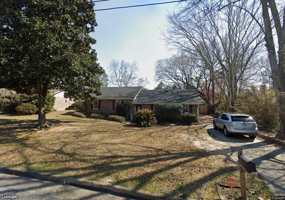
6414 Sam Hurst Dr Columbus, GA 31907
Midland NeighborhoodEstimated Value: $187,640 - $210,000
3
Beds
3
Baths
1,512
Sq Ft
$131/Sq Ft
Est. Value
About This Home
This home is located at 6414 Sam Hurst Dr, Columbus, GA 31907 and is currently estimated at $197,660, approximately $130 per square foot. 6414 Sam Hurst Dr is a home located in Muscogee County with nearby schools including Waddell Elementary School, Midland Middle School, and Hardaway High School.
Ownership History
Date
Name
Owned For
Owner Type
Purchase Details
Closed on
Dec 20, 2024
Sold by
Bowman Deandre Lamont and Bowman Chari A
Bought by
Bowman Deandre Lamont and Bowman Chari A
Current Estimated Value
Create a Home Valuation Report for This Property
The Home Valuation Report is an in-depth analysis detailing your home's value as well as a comparison with similar homes in the area
Home Values in the Area
Average Home Value in this Area
Purchase History
| Date | Buyer | Sale Price | Title Company |
|---|---|---|---|
| Bowman Deandre Lamont | -- | None Listed On Document |
Source: Public Records
Tax History
| Year | Tax Paid | Tax Assessment Tax Assessment Total Assessment is a certain percentage of the fair market value that is determined by local assessors to be the total taxable value of land and additions on the property. | Land | Improvement |
|---|---|---|---|---|
| 2025 | $2,067 | $52,812 | $10,696 | $42,116 |
| 2024 | $2,067 | $52,812 | $10,696 | $42,116 |
| 2023 | $2,080 | $52,812 | $10,696 | $42,116 |
| 2022 | $1,719 | $42,108 | $10,696 | $31,412 |
| 2021 | $1,812 | $44,368 | $10,696 | $33,672 |
| 2020 | $1,812 | $44,368 | $10,696 | $33,672 |
| 2019 | $1,818 | $44,368 | $10,696 | $33,672 |
| 2018 | $1,818 | $44,368 | $10,696 | $33,672 |
| 2017 | $1,824 | $44,368 | $10,696 | $33,672 |
| 2016 | $1,977 | $47,929 | $9,857 | $38,072 |
| 2015 | $1,979 | $47,929 | $9,857 | $38,072 |
| 2014 | $1,982 | $47,929 | $9,857 | $38,072 |
| 2013 | -- | $47,929 | $9,857 | $38,072 |
Source: Public Records
Map
Nearby Homes
- 5434 Rockhurst Dr
- 5422 Brookview Dr
- 6236 Olde Towne Dr
- 6215 Parker Dr
- 5717 Flat Rock Rd
- 6925 Pebble Ct
- 7101 Cross Tie Dr
- 7310 Macon Rd
- 7380 Macon Rd
- 7240 Westport Loop
- 5824 Bishop Dr
- 4931 Woodruff Farm Rd
- 7170 Beaver Run Rd
- 6100 Stony Creek Dr
- 4017 Shade Valley Dr
- 5258 Cunningham Dr
- 6502 Tidewater Ct
- 6055 Psalmond Rd
- 6389 Shagbark Ln
- 4628 Sears Rd
- 6408 Sam Hurst Dr
- 6420 Sam Hurst Dr
- 6426 Sam Hurst Dr
- 2 Ellsworth Ct
- 3 Ellsworth Ct
- 6400 Sam Hurst Dr
- 6413 Sam Hurst Dr
- 6419 Sam Hurst Dr
- 5440 Rockhurst Dr
- 6407 Sam Hurst Dr
- 5435 Brookview Dr
- 6425 Sam Hurst Dr
- 5443 Brookview Dr
- 5429 Brookview Dr
- 5500 Rockhurst Dr
- 6433 Sam Hurst Dr
- 5428 Rockhurst Dr
- 6414 Glover Ct
- 4 Ellsworth Ct
- 6408 Glover Ct
Your Personal Tour Guide
Ask me questions while you tour the home.