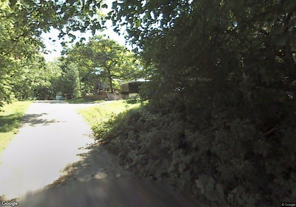
6415 Maple Ave Spring Grove, IL 60081
Northwest Fox Lake NeighborhoodEstimated Value: $192,000 - $248,000
1
Bed
1
Bath
2,176
Sq Ft
$100/Sq Ft
Est. Value
About This Home
This home is located at 6415 Maple Ave, Spring Grove, IL 60081 and is currently estimated at $217,030, approximately $99 per square foot. 6415 Maple Ave is a home located in McHenry County with nearby schools including Spring Grove Elementary School, Nippersink Middle School, and Richmond-Burton High School.
Ownership History
Date
Name
Owned For
Owner Type
Purchase Details
Closed on
Feb 5, 2009
Sold by
Popp Christopher
Bought by
Federal Home Loan Mortgage Corp
Current Estimated Value
Purchase Details
Closed on
Dec 8, 2005
Sold by
Gohs Charles John
Bought by
Popp Christopher J
Home Financials for this Owner
Home Financials are based on the most recent Mortgage that was taken out on this home.
Original Mortgage
$128,250
Interest Rate
6.2%
Mortgage Type
Fannie Mae Freddie Mac
Purchase Details
Closed on
Nov 14, 2005
Sold by
Mezydlo Victoria Ilona and Gohs Victoria Ilona
Bought by
Gohs Charles John
Home Financials for this Owner
Home Financials are based on the most recent Mortgage that was taken out on this home.
Original Mortgage
$128,250
Interest Rate
6.2%
Mortgage Type
Fannie Mae Freddie Mac
Create a Home Valuation Report for This Property
The Home Valuation Report is an in-depth analysis detailing your home's value as well as a comparison with similar homes in the area
Home Values in the Area
Average Home Value in this Area
Purchase History
| Date | Buyer | Sale Price | Title Company |
|---|---|---|---|
| Federal Home Loan Mortgage Corp | -- | None Available | |
| Popp Christopher J | $135,000 | St | |
| Gohs Charles John | -- | St |
Source: Public Records
Mortgage History
| Date | Status | Borrower | Loan Amount |
|---|---|---|---|
| Previous Owner | Popp Christopher J | $128,250 |
Source: Public Records
Tax History
| Year | Tax Paid | Tax Assessment Tax Assessment Total Assessment is a certain percentage of the fair market value that is determined by local assessors to be the total taxable value of land and additions on the property. | Land | Improvement |
|---|---|---|---|---|
| 2024 | $2,399 | $41,381 | $10,534 | $30,847 |
| 2023 | $2,355 | $38,595 | $9,825 | $28,770 |
| 2022 | $2,281 | $33,951 | $8,643 | $25,308 |
| 2021 | $2,147 | $32,005 | $8,148 | $23,857 |
| 2020 | $2,083 | $30,595 | $7,789 | $22,806 |
| 2019 | $2,093 | $30,119 | $7,668 | $22,451 |
| 2018 | $2,126 | $29,188 | $7,431 | $21,757 |
| 2017 | $2,072 | $27,409 | $6,978 | $20,431 |
| 2016 | $2,062 | $26,176 | $6,664 | $19,512 |
| 2013 | -- | $24,699 | $4,937 | $19,762 |
Source: Public Records
Map
Nearby Homes
- 6415 N Shore Ave
- 38265 N State Park Rd
- 55 Vail Colony Unit 6
- 49 Oak Hill Colony Unit 12
- 47 Nassau Colony Unit 1
- 11 Saint Thomas Colony Unit 7
- 35 Montego Colony Unit 7
- 63 Aspen Colony Unit 8
- 40 Bermuda Colony Unit 7
- 16 Saint Thomas Colony Unit 6
- 23 Jamaica Colony Unit 5
- 28624 W Kendall Ave
- 37714 N Nippersink Place
- 37682 N US Highway 12
- 37706 N Nippersink Place
- 5716 Bunny Ave
- 706 Henry Trail
- 5615 Bunny Ave
- 37464 N Terrace Ln
- 5504 Louella Ave
- 6419 Maple Ave
- 6418 Maple Ave
- 6423 Maple Ave
- 209 Muriel Rd
- 6416 Blaine Place
- 6416 Blaine Place Unit 3
- 6420 Maple Ave
- 6412 Maple Ave
- 6412 Maple Ave
- 6422 Blaine Place
- LOT 8 Maple Ave
- 115 Muriel Rd
- 6415 Willow St
- 6425 Maple Ave Unit 6501
- 6425 Maple Ave
- 6425 Maple Ave Unit 1 Bed
- 6417 Willow St
- 6417 Muriel Rd
- 6904 Maple Ave
- 6401 Maple Ave
Your Personal Tour Guide
Ask me questions while you tour the home.