Estimated Value: $254,000
--
Bed
--
Bath
1,816
Sq Ft
$140/Sq Ft
Est. Value
About This Home
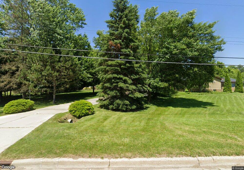
This home is located at 6415 Richfield Rd, Flint, MI 48506 and is currently priced at $254,000, approximately $139 per square foot. 6415 Richfield Rd is a home located in Genesee County with nearby schools including Weston Elementary School, Leota Fiedler Elementary School, and Kate Dowdall Elementary School.
Ownership History
Date
Name
Owned For
Owner Type
Purchase Details
Closed on
Aug 12, 2024
Sold by
Fuhr Steven D and Fuhr Junell E
Bought by
Fuhr Steven D and Fuhr Junell E
Current Estimated Value
Purchase Details
Closed on
May 17, 2002
Sold by
Fuhr Steven D
Bought by
Fuhr Steven D and Fuhr Junell E
Home Financials for this Owner
Home Financials are based on the most recent Mortgage that was taken out on this home.
Original Mortgage
$115,000
Interest Rate
6.63%
Create a Home Valuation Report for This Property
The Home Valuation Report is an in-depth analysis detailing your home's value as well as a comparison with similar homes in the area
Home Values in the Area
Average Home Value in this Area
Purchase History
| Date | Buyer | Sale Price | Title Company |
|---|---|---|---|
| Fuhr Steven D | -- | None Listed On Document | |
| Fuhr Steven D | -- | Lawyers Title Insurance Corp |
Source: Public Records
Mortgage History
| Date | Status | Borrower | Loan Amount |
|---|---|---|---|
| Previous Owner | Fuhr Steven D | $115,000 |
Source: Public Records
Tax History
| Year | Tax Paid | Tax Assessment Tax Assessment Total Assessment is a certain percentage of the fair market value that is determined by local assessors to be the total taxable value of land and additions on the property. | Land | Improvement |
|---|---|---|---|---|
| 2023 | $2,748 | $125,100 | $0 | $0 |
| 2022 | $2,774 | $139,400 | $0 | $0 |
| 2021 | $2,748 | $125,100 | $0 | $0 |
| 2020 | $844 | $111,600 | $0 | $0 |
| 2019 | $831 | $97,000 | $0 | $0 |
| 2018 | $2,594 | $90,600 | $0 | $0 |
| 2017 | $2,480 | $87,700 | $0 | $0 |
| 2016 | $2,463 | $82,600 | $0 | $0 |
| 2015 | $2,296 | $77,200 | $0 | $0 |
| 2014 | $766 | $70,500 | $0 | $0 |
| 2012 | -- | $64,000 | $64,000 | $0 |
Source: Public Records
Map
Nearby Homes
- 6443 Richfield Rd
- 3485 N Vassar Rd
- 6367 E Pierson Rd
- 6054 E Pierson Rd
- 6312 Tamara Dr
- 6161 Finch Ln
- 0 Whisper Ridge Ct
- 2411 Briar Creek Ln
- 7045 Normandy Ct
- 3179 Gehring Dr
- 3267 Mills Acres St
- 2401 Mcclellan Blvd
- 6099 Brookwood Dr
- 6158 Golfview Dr
- 2215 Ridgemoor Ct Unit 11
- 8088 Oreilly Cir
- 5401 S Sycamore Dr
- V/L S Sycamore Dr
- 7377 River Rock Dr
- 4044 N Genesee Rd
- 6431 Richfield Rd
- 6405 Richfield Rd
- 6435 Richfield Rd
- 6391 Richfield Rd
- 6383 Richfield Rd
- 6451 Richfield Rd Unit Bldg-Unit
- 6451 Richfield Rd
- 6378 E Pierson Rd
- 6461 Richfield Rd
- 6363 Richfield Rd
- 6394 E Pierson Rd
- 6412 E Pierson Rd
- 6467 Richfield Rd
- 6345 Richfield Rd
- 6422 E Pierson Rd
- 6474 Richfield Rd
- 6362 E Pierson Rd
- 6493 Richfield Rd
- 6329 Richfield Rd
- 6354 E Pierson Rd
Your Personal Tour Guide
Ask me questions while you tour the home.