6415 Snelling Mill Rd Flowery Branch, GA 30542
Estimated Value: $654,000 - $833,000
4
Beds
3
Baths
2,928
Sq Ft
$250/Sq Ft
Est. Value
About This Home
This home is located at 6415 Snelling Mill Rd, Flowery Branch, GA 30542 and is currently estimated at $731,873, approximately $249 per square foot. 6415 Snelling Mill Rd is a home located in Hall County with nearby schools including Flowery Branch Elementary School, West Hall Middle School, and West Hall High School.
Ownership History
Date
Name
Owned For
Owner Type
Purchase Details
Closed on
Jul 21, 2022
Sold by
Levasseur David John
Bought by
David & Edna Levasseur Liv Tr
Current Estimated Value
Purchase Details
Closed on
Apr 27, 2015
Sold by
Farley Timothy W
Bought by
Levasseur David John
Purchase Details
Closed on
Oct 3, 2005
Sold by
Irwin Donna
Bought by
Farley Timothy W and Farley Rene
Home Financials for this Owner
Home Financials are based on the most recent Mortgage that was taken out on this home.
Original Mortgage
$55,855
Interest Rate
5.77%
Mortgage Type
New Conventional
Create a Home Valuation Report for This Property
The Home Valuation Report is an in-depth analysis detailing your home's value as well as a comparison with similar homes in the area
Home Values in the Area
Average Home Value in this Area
Purchase History
| Date | Buyer | Sale Price | Title Company |
|---|---|---|---|
| David & Edna Levasseur Liv Tr | -- | -- | |
| Levasseur David John | $74,000 | -- | |
| Farley Timothy W | $68,000 | -- |
Source: Public Records
Mortgage History
| Date | Status | Borrower | Loan Amount |
|---|---|---|---|
| Previous Owner | Farley Timothy W | $55,855 |
Source: Public Records
Tax History Compared to Growth
Tax History
| Year | Tax Paid | Tax Assessment Tax Assessment Total Assessment is a certain percentage of the fair market value that is determined by local assessors to be the total taxable value of land and additions on the property. | Land | Improvement |
|---|---|---|---|---|
| 2024 | $2,029 | $245,360 | $63,920 | $181,440 |
| 2023 | $5,073 | $220,360 | $47,520 | $172,840 |
| 2022 | $4,647 | $179,680 | $48,240 | $131,440 |
| 2021 | $4,229 | $160,440 | $37,680 | $122,760 |
| 2020 | $4,181 | $154,120 | $37,680 | $116,440 |
| 2019 | $3,949 | $169,680 | $44,440 | $125,240 |
| 2018 | $4,282 | $151,440 | $32,880 | $118,560 |
| 2017 | $3,834 | $136,960 | $32,880 | $104,080 |
| 2016 | $794 | $29,240 | $29,240 | $0 |
| 2015 | -- | $39,000 | $39,000 | $0 |
| 2014 | -- | $39,000 | $39,000 | $0 |
Source: Public Records
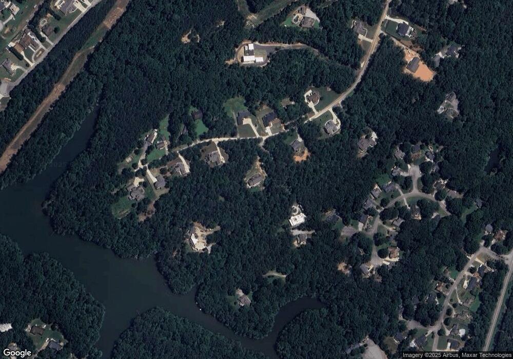
Map
Nearby Homes
- 6398 Snelling Mill Rd
- 6397 Snelling Mill Rd
- 6604 Windbrook Way
- 6708 Thornwood Ct
- 6732 Willowbrook Trail
- 6465 Yacht Club Rd
- 6714 Corryton St
- SUDBURY 24' TOWNHOME Plan at Waypoint
- ADDINGTON Plan at Waypoint
- SALISBURY 24' TOWNHOME Plan at Waypoint
- AMESBURY Plan at Waypoint
- 6664 Parsons St
- 6411 Winter Harbor Dr
- 6737 Leigh St
- 6745 Leigh St
- 6740 Leigh St
- 6431 Snelling Mill Rd Unit TRACT 3
- 6431 Snelling Mill Rd
- 6431 Snelling Mill Rd Unit Tract 3
- 6431 Snelling Mill Rd
- 6431 Snelling Mill Rd
- 6403 Snelling Mill Rd
- 6409 Snelling Mill Rd
- 6410 Snelling Mill Rd
- 6402 Snelling Mill Rd
- 6422 Snelling Mill Rd
- 6447 Snelling Mill Rd Unit TRACT 2
- 6447 Snelling Mill Rd
- 6447 Snelling Mill Rd Unit Tract 2
- 6447 Snelling Mill Rd
- 6612 Windbrook Way
- 6390 Snelling Mill Rd
- 6608 Windbrook Way
- 6419 Snelling Mill Rd
- 6430 Snelling Mill Rd
- 6428 Snelling Mill Rd