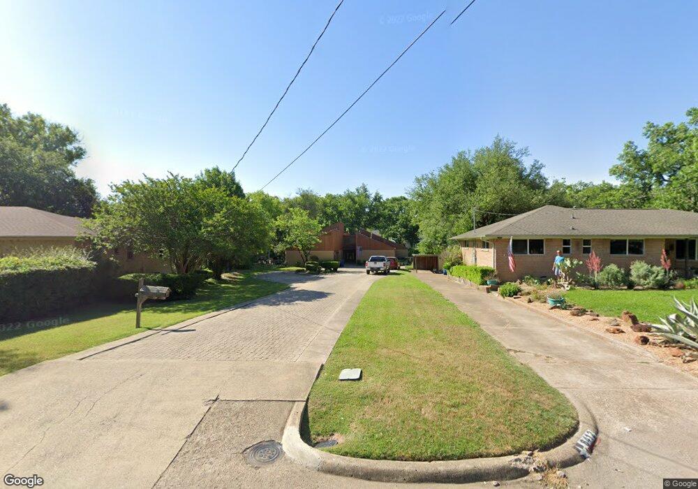
6416 Patrick Dr Dallas, TX 75214
Northeast Dallas NeighborhoodEstimated Value: $1,095,000 - $1,594,092
3
Beds
2
Baths
2,555
Sq Ft
$543/Sq Ft
Est. Value
About This Home
This home is located at 6416 Patrick Dr, Dallas, TX 75214 and is currently estimated at $1,388,523, approximately $543 per square foot. 6416 Patrick Dr is a home located in Dallas County with nearby schools including Lakewood Elementary School, J L Long Middle School, and Woodrow Wilson High School.
Ownership History
Date
Name
Owned For
Owner Type
Purchase Details
Closed on
Nov 5, 2012
Sold by
Scobee Mike
Bought by
Scobee Mike and Scobbe Dorinda J
Current Estimated Value
Purchase Details
Closed on
May 15, 2012
Sold by
Veen Peter C Van Der and Rodriguez Reynaldo A
Bought by
Gnr Resources Llc
Home Financials for this Owner
Home Financials are based on the most recent Mortgage that was taken out on this home.
Original Mortgage
$210,000
Interest Rate
4.02%
Mortgage Type
Purchase Money Mortgage
Create a Home Valuation Report for This Property
The Home Valuation Report is an in-depth analysis detailing your home's value as well as a comparison with similar homes in the area
Home Values in the Area
Average Home Value in this Area
Purchase History
| Date | Buyer | Sale Price | Title Company |
|---|---|---|---|
| Scobee Mike | -- | None Available | |
| Gnr Resources Llc | -- | Reunion Title |
Source: Public Records
Mortgage History
| Date | Status | Borrower | Loan Amount |
|---|---|---|---|
| Closed | Gnr Resources Llc | $210,000 |
Source: Public Records
Tax History Compared to Growth
Tax History
| Year | Tax Paid | Tax Assessment Tax Assessment Total Assessment is a certain percentage of the fair market value that is determined by local assessors to be the total taxable value of land and additions on the property. | Land | Improvement |
|---|---|---|---|---|
| 2025 | $10,962 | $1,927,390 | $1,220,930 | $706,460 |
| 2024 | $10,962 | $1,392,760 | $1,220,930 | $171,830 |
| 2023 | $10,962 | $1,400,000 | $1,220,930 | $179,070 |
| 2022 | $35,005 | $1,400,000 | $1,220,930 | $179,070 |
| 2021 | $23,742 | $900,000 | $813,960 | $86,040 |
| 2020 | $27,129 | $1,000,000 | $813,960 | $186,040 |
| 2019 | $31,635 | $1,111,850 | $813,960 | $297,890 |
| 2018 | $22,441 | $825,280 | $488,370 | $336,910 |
| 2017 | $22,008 | $809,320 | $488,370 | $320,950 |
| 2016 | $22,008 | $809,320 | $488,370 | $320,950 |
| 2015 | $11,589 | $542,060 | $241,060 | $301,000 |
| 2014 | $11,589 | $542,060 | $241,060 | $301,000 |
Source: Public Records
Map
Nearby Homes
- 6446 Lange Cir
- 6459 Trammel Dr
- 6269 Saratoga Cir
- 6415 Axton Ln
- 6537 Patrick Dr
- 6314 Woodcrest Ln
- 6474 Sudbury Dr
- 6305 Annapolis Ln
- 6231 Berwyn Ln
- 6529 Trammel Dr
- 6527 Axton Cir
- 6529 Saint Moritz Ave
- 6222 E University Blvd
- 6431 Dunstan Ln
- 4323 Ashford Dr
- 6711 Vada Dr
- 6720 Braeburn Dr
- 6349 Highgate Ln
- 6171 Ravendale Ln
- 6612 E Mockingbird Ln
- 6412 Patrick Dr
- 6424 Patrick Dr
- 6430 Patrick Dr
- 6439 Lange Cir
- 6429 Lange Cir
- 6423 Lange Cir
- 6441 Lange Cir
- 6408 Patrick Dr
- 6436 Patrick Dr
- 6447 Lange Cir
- 6417 Lange Cir
- 6411 Patrick Dr
- 6451 Lange Cir
- 6411 Lange Cir
- 6404 Patrick Dr
- 6440 Patrick Dr
- 6457 Lange Cir
- 6405 Patrick Dr
- 6421 Patrick Dr
- 6405 Lange Cir