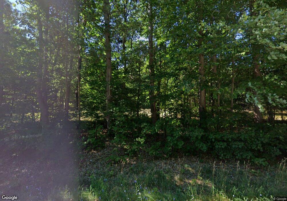
6419 E Sternberg Rd Fruitport, MI 49415
Estimated Value: $310,000 - $435,228
3
Beds
2
Baths
1,592
Sq Ft
$228/Sq Ft
Est. Value
About This Home
This home is located at 6419 E Sternberg Rd, Fruitport, MI 49415 and is currently estimated at $362,807, approximately $227 per square foot. 6419 E Sternberg Rd is a home located in Muskegon County with nearby schools including Beechnau Elementary School, Ravenna Middle School, and Ravenna High School.
Ownership History
Date
Name
Owned For
Owner Type
Purchase Details
Closed on
Oct 13, 2023
Sold by
Ferguson Dale G and Ferguson Mary
Bought by
Ferguson Dale G and Ferguson Dale G
Current Estimated Value
Purchase Details
Closed on
Jun 27, 2003
Sold by
Ferguson George and Ferguson Elma J
Bought by
Ferguson Dale G and Ferguson Mary
Home Financials for this Owner
Home Financials are based on the most recent Mortgage that was taken out on this home.
Original Mortgage
$50,000
Interest Rate
6.49%
Mortgage Type
Purchase Money Mortgage
Create a Home Valuation Report for This Property
The Home Valuation Report is an in-depth analysis detailing your home's value as well as a comparison with similar homes in the area
Home Values in the Area
Average Home Value in this Area
Purchase History
| Date | Buyer | Sale Price | Title Company |
|---|---|---|---|
| Ferguson Dale G | -- | None Listed On Document | |
| Ferguson Dale G | $80,000 | Lighthouse Title Inc |
Source: Public Records
Mortgage History
| Date | Status | Borrower | Loan Amount |
|---|---|---|---|
| Previous Owner | Ferguson Dale G | $50,000 |
Source: Public Records
Tax History Compared to Growth
Tax History
| Year | Tax Paid | Tax Assessment Tax Assessment Total Assessment is a certain percentage of the fair market value that is determined by local assessors to be the total taxable value of land and additions on the property. | Land | Improvement |
|---|---|---|---|---|
| 2025 | $3,567 | $209,500 | $0 | $0 |
| 2024 | $1,316 | $183,300 | $0 | $0 |
| 2023 | $1,259 | $160,100 | $0 | $0 |
| 2022 | $3,262 | $145,100 | $0 | $0 |
| 2021 | $3,200 | $134,100 | $0 | $0 |
| 2020 | $3,145 | $122,100 | $0 | $0 |
| 2019 | $3,149 | $117,500 | $0 | $0 |
| 2018 | $2,584 | $98,800 | $0 | $0 |
| 2017 | $2,590 | $95,700 | $0 | $0 |
| 2016 | $938 | $88,900 | $0 | $0 |
| 2015 | -- | $83,900 | $0 | $0 |
| 2014 | -- | $82,200 | $0 | $0 |
| 2013 | -- | $77,500 | $0 | $0 |
Source: Public Records
Map
Nearby Homes
- 6804 S Maple Island Rd
- 4280 S Broton Rd
- 6080 Jensen Rd
- VL - B E Sternberg Rd
- V/L E Sternberg Rd Unit Lot 25
- VL Lot 3 S Carr Rd
- VL Lot 2 S Carr Rd
- VL Lot 1 S Carr Rd
- 0 W Potter Rd Unit 50137588
- 1 Balian Dr
- 7096 Heights Ravenna Rd
- 0 0 Heights Ravenna Rd
- 0 E Pontaluna Rd Unit 25045508
- 3461 Sullivan Rd
- 4875 E Pontaluna Rd
- VL Heights Ravenna Rd
- 13023 Gleason Ln
- 18780 112th Ave
- 3485 S Carr Rd
- 4676 E Fruitport Rd
- 6823 E Sternberg Rd
- 6655 E Sternberg Rd
- 6677 E Sternberg Rd
- 6585 E Sternberg Rd
- 6575 E Sternberg Rd
- 6940 E Sternberg Rd
- 6826 E Sternberg Rd
- 6890 E Sternberg Rd
- 6946 E Sternberg Rd
- 6978 E Sternberg Rd
- 7002 E Sternberg Rd
- 5528 S Hilton Park Rd
- 7052 E Sternberg Rd
- 6676 Mount Garfield Rd
- 5590 S Hilton Park Rd
- 6586 Mount Garfield Rd
- 5277 Maple Island Rd
- 5225 Maple Island Rd
- 6708 Mount Garfield Rd
- 7139 Sternberg Rd
