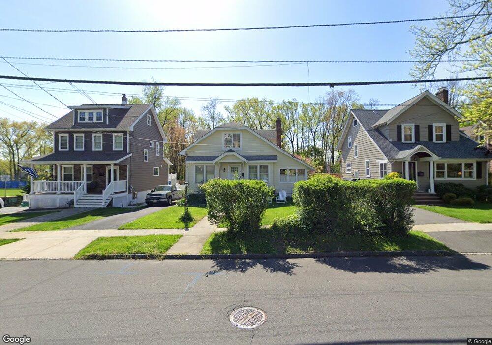
642 4th Ave Westfield, NJ 07090
Estimated Value: $788,000 - $983,000
Studio
--
Bath
1,695
Sq Ft
$521/Sq Ft
Est. Value
About This Home
This home is located at 642 4th Ave, Westfield, NJ 07090 and is currently estimated at $882,549, approximately $520 per square foot. 642 4th Ave is a home located in Union County with nearby schools including Washington Elementary School, Roosevelt Intermediate School, and Westfield Senior High School.
Ownership History
Date
Name
Owned For
Owner Type
Purchase Details
Closed on
Dec 12, 2014
Sold by
Dill Frank R and Copelton Audrey L
Bought by
Dill Frank R and Dill Audrey L
Current Estimated Value
Home Financials for this Owner
Home Financials are based on the most recent Mortgage that was taken out on this home.
Original Mortgage
$368,000
Outstanding Balance
$282,922
Interest Rate
4.02%
Mortgage Type
New Conventional
Estimated Equity
$599,627
Purchase Details
Closed on
Apr 14, 1997
Sold by
Pope Inge and Thomas Inge
Bought by
Dill Frank R and Copelton Audrey L
Create a Home Valuation Report for This Property
The Home Valuation Report is an in-depth analysis detailing your home's value as well as a comparison with similar homes in the area
Home Values in the Area
Average Home Value in this Area
Purchase History
| Date | Buyer | Sale Price | Title Company |
|---|---|---|---|
| Dill Frank R | -- | Max Title Agency Llc | |
| Dill Frank R | $150,000 | -- |
Source: Public Records
Mortgage History
| Date | Status | Borrower | Loan Amount |
|---|---|---|---|
| Open | Dill Frank R | $368,000 |
Source: Public Records
Tax History
| Year | Tax Paid | Tax Assessment Tax Assessment Total Assessment is a certain percentage of the fair market value that is determined by local assessors to be the total taxable value of land and additions on the property. | Land | Improvement |
|---|---|---|---|---|
| 2025 | $12,839 | $570,100 | $420,800 | $149,300 |
| 2024 | $12,576 | $570,100 | $420,800 | $149,300 |
| 2023 | $12,576 | $570,100 | $420,800 | $149,300 |
| 2022 | $12,314 | $570,100 | $420,800 | $149,300 |
| 2021 | $12,331 | $570,100 | $420,800 | $149,300 |
| 2020 | $12,303 | $570,100 | $420,800 | $149,300 |
| 2019 | $12,257 | $570,100 | $420,800 | $149,300 |
| 2018 | $9,818 | $105,600 | $48,000 | $57,600 |
| 2017 | $9,764 | $105,600 | $48,000 | $57,600 |
| 2016 | $9,535 | $105,600 | $48,000 | $57,600 |
| 2015 | $9,345 | $105,600 | $48,000 | $57,600 |
| 2014 | $9,036 | $105,600 | $48,000 | $57,600 |
Source: Public Records
Map
Nearby Homes
- 615 Maple Ct Unit 615
- 529 Benson Place
- 629 Tremont Ave
- 564 Spruce Ave
- 314 South Ave E Unit 2
- 556 Locust Ave
- 318 S Euclid Ave
- 484 4th Ave Unit 9
- 401 Brookside Place
- 435 Spruce Ave
- 765 Marcellus Dr
- 122 Livingston St
- 312 3rd Ave
- 941 Harding St
- 443 Pine Ave
- 1008 Cranford Ave
- 121 Greene Place
- 203 Ross Place
- 820 E Broad St
- 215 Ross Place Unit J
- 646 4th Ave
- 638 4th Ave
- 634 4th Ave
- 0 Brandt Court Aka 667 4th Unit 3672310
- 632 4th Ave
- 626 4th Ave
- 649 4th Ave
- 655 4th Ave
- 641 4th Ave
- 622 4th Ave
- 631 4th Ave
- 616 4th Ave
- 1 Brandt
- 0 Brandt Ct Unit 3757983
- 0 Brandt Ct Unit 3487414
- 723 North Ave Unit 2
- 614 4th Ave Unit 8
- 627 4th Ave
- 612 4th Ave
- 620 S Chestnut St
Your Personal Tour Guide
Ask me questions while you tour the home.