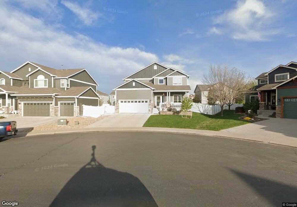
642 Bighorn Ct Windsor, CO 80550
Estimated Value: $540,934 - $676,000
5
Beds
4
Baths
1,953
Sq Ft
$308/Sq Ft
Est. Value
About This Home
This home is located at 642 Bighorn Ct, Windsor, CO 80550 and is currently estimated at $601,234, approximately $307 per square foot. 642 Bighorn Ct is a home located in Weld County with nearby schools including Severance Middle School, Windsor High School, and Windsor Charter Academy Elementary School.
Ownership History
Date
Name
Owned For
Owner Type
Purchase Details
Closed on
Oct 7, 2011
Sold by
Saint Aubyn Homes Llc
Bought by
Alles Matthew Brody and Alles Chelsea
Current Estimated Value
Home Financials for this Owner
Home Financials are based on the most recent Mortgage that was taken out on this home.
Original Mortgage
$234,792
Outstanding Balance
$158,088
Interest Rate
4.14%
Mortgage Type
FHA
Estimated Equity
$443,146
Purchase Details
Closed on
Jul 29, 2011
Sold by
Winter Farm Windsor Llc
Bought by
Saint Aubyn Homes Llc
Create a Home Valuation Report for This Property
The Home Valuation Report is an in-depth analysis detailing your home's value as well as a comparison with similar homes in the area
Purchase History
| Date | Buyer | Sale Price | Title Company |
|---|---|---|---|
| Alles Matthew Brody | $240,900 | Heritage Title | |
| Saint Aubyn Homes Llc | $35,000 | Land Title Guarantee Company |
Source: Public Records
Mortgage History
| Date | Status | Borrower | Loan Amount |
|---|---|---|---|
| Open | Alles Matthew Brody | $234,792 |
Source: Public Records
Tax History
| Year | Tax Paid | Tax Assessment Tax Assessment Total Assessment is a certain percentage of the fair market value that is determined by local assessors to be the total taxable value of land and additions on the property. | Land | Improvement |
|---|---|---|---|---|
| 2025 | $4,367 | $34,880 | $7,500 | $27,380 |
| 2024 | $4,105 | $37,710 | $6,700 | $31,010 |
| 2023 | $4,105 | $38,080 | $6,770 | $31,310 |
| 2022 | $3,763 | $27,780 | $6,320 | $21,460 |
| 2021 | $3,612 | $28,590 | $6,510 | $22,080 |
| 2020 | $3,480 | $27,020 | $5,010 | $22,010 |
| 2019 | $3,482 | $27,020 | $5,010 | $22,010 |
| 2018 | $3,534 | $25,110 | $5,040 | $20,070 |
| 2017 | $3,614 | $25,110 | $5,040 | $20,070 |
| 2016 | $3,139 | $21,640 | $3,420 | $18,220 |
| 2015 | $3,000 | $21,640 | $3,420 | $18,220 |
| 2014 | $2,570 | $17,810 | $2,790 | $15,020 |
Source: Public Records
Map
Nearby Homes
- 621 Denali Ct
- 597 Red Jewel Dr
- 679 Red Jewel Dr
- 355 Antora Ct
- 265 Hillspire Dr
- 18 Boxwood Dr
- 175 Boxwood Dr
- 77 Boxwood Dr
- 444 Stonebrook Dr
- 848 Shirttail Peak Dr
- 743 Little Leaf Dr
- 240 Hillspire Dr
- 244 Veronica Dr
- 366 Bluestar Dr
- 356 Blue Star Dr
- 293 Turnberry Dr
- 283 Turnberry Dr
- 273 Turnberry Dr
- 783 Canoe Birch Dr
- 336 Blue Star Dr
Your Personal Tour Guide
Ask me questions while you tour the home.