642 Devon Brooke Dr Woodstock, GA 30188
Union Hill NeighborhoodEstimated Value: $668,567 - $790,000
5
Beds
4
Baths
3,340
Sq Ft
$218/Sq Ft
Est. Value
About This Home
This home is located at 642 Devon Brooke Dr, Woodstock, GA 30188 and is currently estimated at $729,284, approximately $218 per square foot. 642 Devon Brooke Dr is a home located in Cherokee County with nearby schools including Mountain Road Elementary School, Rusk Middle School, and Sequoyah High School.
Ownership History
Date
Name
Owned For
Owner Type
Purchase Details
Closed on
Apr 30, 2001
Sold by
Sharp Resid Bldrs & Devel Llc
Bought by
Mitchell Harlan K and Mitchell Anita L
Current Estimated Value
Home Financials for this Owner
Home Financials are based on the most recent Mortgage that was taken out on this home.
Original Mortgage
$275,000
Outstanding Balance
$99,836
Interest Rate
6.98%
Mortgage Type
New Conventional
Estimated Equity
$629,448
Create a Home Valuation Report for This Property
The Home Valuation Report is an in-depth analysis detailing your home's value as well as a comparison with similar homes in the area
Home Values in the Area
Average Home Value in this Area
Purchase History
| Date | Buyer | Sale Price | Title Company |
|---|---|---|---|
| Mitchell Harlan K | $356,300 | -- |
Source: Public Records
Mortgage History
| Date | Status | Borrower | Loan Amount |
|---|---|---|---|
| Open | Mitchell Harlan K | $275,000 |
Source: Public Records
Tax History Compared to Growth
Tax History
| Year | Tax Paid | Tax Assessment Tax Assessment Total Assessment is a certain percentage of the fair market value that is determined by local assessors to be the total taxable value of land and additions on the property. | Land | Improvement |
|---|---|---|---|---|
| 2025 | $2,103 | $289,736 | $60,000 | $229,736 |
| 2024 | $6,627 | $255,016 | $50,800 | $204,216 |
| 2023 | $6,424 | $247,200 | $49,600 | $197,600 |
| 2022 | $5,361 | $203,960 | $40,000 | $163,960 |
| 2021 | $4,918 | $173,240 | $36,000 | $137,240 |
| 2020 | $4,563 | $160,600 | $34,800 | $125,800 |
| 2019 | $4,587 | $161,440 | $33,600 | $127,840 |
| 2018 | $4,412 | $154,320 | $32,000 | $122,320 |
| 2017 | $4,391 | $381,000 | $32,000 | $120,400 |
| 2016 | $4,318 | $370,800 | $32,000 | $116,320 |
| 2015 | $4,374 | $371,900 | $32,000 | $116,760 |
| 2014 | $4,158 | $352,900 | $28,400 | $112,760 |
Source: Public Records
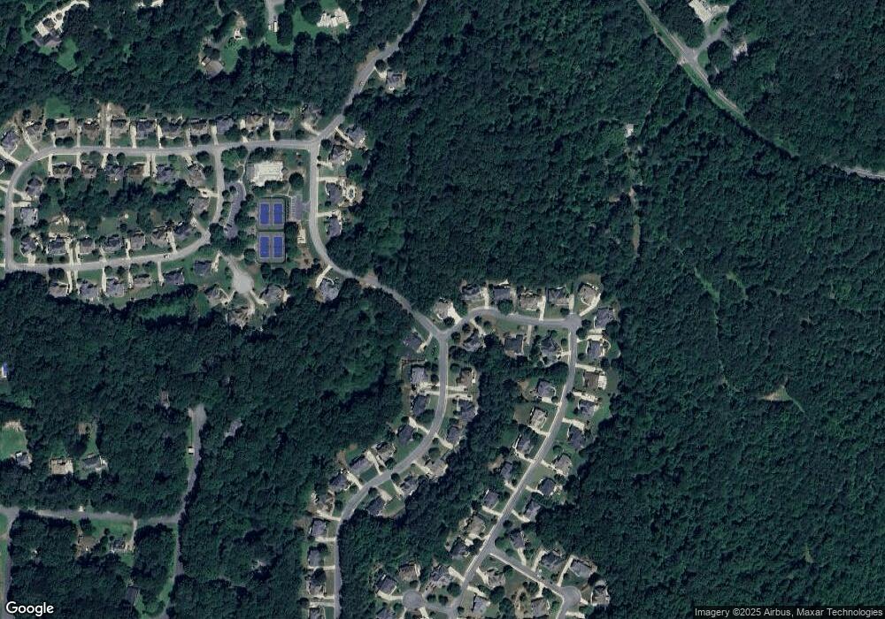
Map
Nearby Homes
- 1058 Arnold Mill Rd
- 239 Aberdeen Way
- 234 Aberdeen Way
- 210 River Laurel Way
- 440 Julie Anne Way
- 619 Stoney Creek Rd
- 13795 Arnold Mill Rd
- 930 Shepards Ct
- 136 Plantation Trace
- 16180 Grand Litchfield Dr
- 528 River Lakeside Ln
- 13530 Old Chadwick Ln
- 130 Junaluska Dr
- 16140 Grand Litchfield Dr
- 533 Mountain Rd
- 0 Tribal Trail Unit 7650851
- 0 Tribal Trail Unit 10609732
- 1320 Cashiers Way
- 1260 Cashiers Way
- 7052 Foundry Dr
- 640 Devon Brooke Dr
- 268 River Laurel Way
- 635 Devon Brooke Dr
- 638 Devon Brooke Dr
- 270 River Laurel Way
- 271 River Laurel Way Unit II
- 633 Devon Brooke Dr Unit 3
- 636 Devon Brooke Dr
- 272 River Laurel Way
- 273 River Laurel Way Unit II
- 254 River Laurel Way Unit 1
- 253 River Laurel Way Unit 1
- 634 Devon Brooke Dr Unit 3
- 631 Devon Brooke Dr Unit 3
- 631 Devon Brooke Dr
- 623 Devon Brooke Dr
- 274 River Laurel Way
- 274 River Laurel Way Unit 2
- 251 River Laurel Way
- 275 River Laurel Way