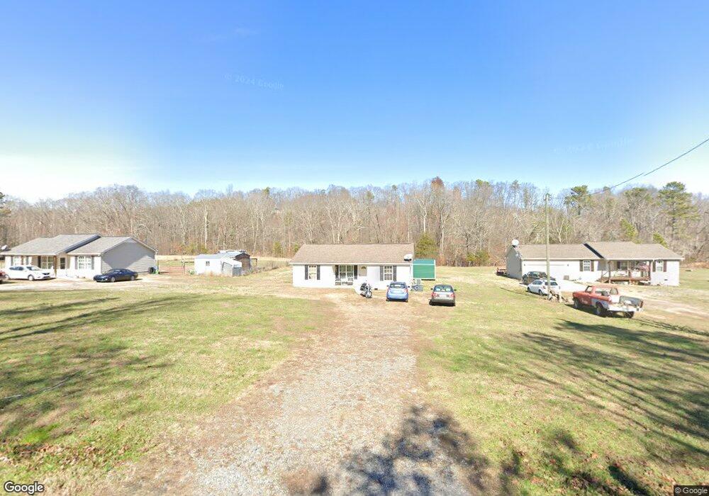
642 Eber Rd SE Dalton, GA 30720
Estimated Value: $186,000 - $365,000
3
Beds
2
Baths
1,020
Sq Ft
$230/Sq Ft
Est. Value
About This Home
This home is located at 642 Eber Rd SE, Dalton, GA 30720 and is currently estimated at $234,509, approximately $229 per square foot. 642 Eber Rd SE is a home located in Whitfield County with nearby schools including Valley Point Elementary School, Valley Point Middle School, and Southeast Whitfield County High School.
Ownership History
Date
Name
Owned For
Owner Type
Purchase Details
Closed on
Apr 30, 2025
Sold by
Peraza Juan M and Molina Liceth
Bought by
Elrod Chipper and Snyder Elrod Mollie
Current Estimated Value
Purchase Details
Closed on
Aug 20, 2020
Sold by
S & S Builders And Land Development Llc
Bought by
Sapemang Lorraine Thomas
Home Financials for this Owner
Home Financials are based on the most recent Mortgage that was taken out on this home.
Original Mortgage
$134,343
Interest Rate
3%
Mortgage Type
New Conventional
Purchase Details
Closed on
Dec 7, 2016
Bought by
Pearce Holli
Purchase Details
Closed on
May 3, 2010
Sold by
S
Bought by
S
Create a Home Valuation Report for This Property
The Home Valuation Report is an in-depth analysis detailing your home's value as well as a comparison with similar homes in the area
Purchase History
| Date | Buyer | Sale Price | Title Company |
|---|---|---|---|
| Elrod Chipper | $335,000 | None Listed On Document | |
| Elrod Chipper | $335,000 | None Listed On Document | |
| Sapemang Lorraine Thomas | $130,000 | -- | |
| S & S Builders And Land Development Llc | -- | -- | |
| Pearce Holli | -- | -- | |
| S | -- | -- |
Source: Public Records
Mortgage History
| Date | Status | Borrower | Loan Amount |
|---|---|---|---|
| Previous Owner | S & S Builders And Land Development Llc | $134,343 |
Source: Public Records
Tax History
| Year | Tax Paid | Tax Assessment Tax Assessment Total Assessment is a certain percentage of the fair market value that is determined by local assessors to be the total taxable value of land and additions on the property. | Land | Improvement |
|---|---|---|---|---|
| 2025 | $1,234 | $59,279 | $4,641 | $54,638 |
| 2024 | $1,234 | $59,279 | $4,641 | $54,638 |
| 2023 | $1,021 | $40,500 | $3,532 | $36,968 |
| 2022 | $604 | $29,045 | $3,101 | $25,944 |
| 2021 | $604 | $29,045 | $3,101 | $25,944 |
| 2020 | $863 | $28,304 | $3,101 | $25,203 |
| 2019 | $878 | $28,304 | $3,101 | $25,203 |
Source: Public Records
Map
Nearby Homes
- 1172 Midway Rd NW
- 323 Tubman Way
- 451 Springs
- 1786 Hill City Rd NW
- 402 W Nance Springs Rd
- 0 Carbondale Rd SW Unit 130445
- 0 Hill City Rd NW
- 3737 S Dixie Rd
- 606 Cline Rd NW
- 323 Lloyd Way
- 116 Robin Hood Dr
- 112 Robin Hood Dr
- 122 Robin Hood Dr Unit A,B
- 122 Robin Hood Dr
- 124 Robin Hood Dr
- 1659 Resaca Lafayette Rd NW
- 106 W Nance Springs Rd
- 3950 S Dixie Rd
- 252 Hudson Way
- 305 Daisy St NW
Your Personal Tour Guide
Ask me questions while you tour the home.