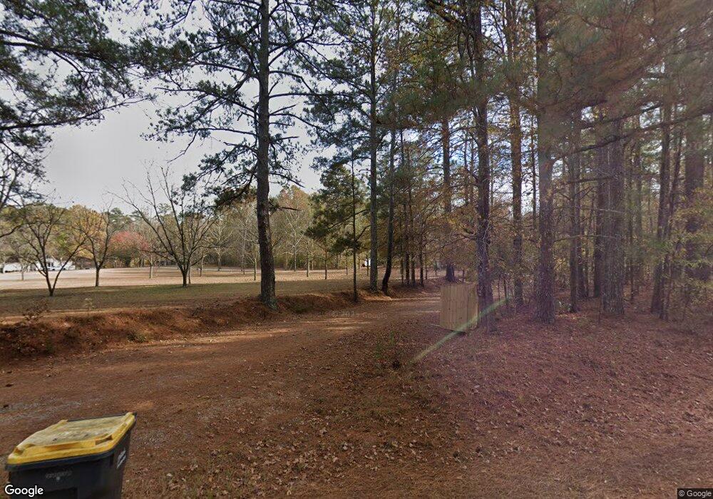
642 Grant Rd Brooks, GA 30205
Estimated Value: $735,000 - $861,000
4
Beds
4
Baths
4,160
Sq Ft
$197/Sq Ft
Est. Value
About This Home
This home is located at 642 Grant Rd, Brooks, GA 30205 and is currently estimated at $818,457, approximately $196 per square foot. 642 Grant Rd is a home located in Fayette County with nearby schools including Peeples Elementary School, Whitewater Middle School, and Whitewater High School.
Ownership History
Date
Name
Owned For
Owner Type
Purchase Details
Closed on
May 7, 2021
Sold by
Panter George
Bought by
Oneill Robert and Oneill Julie Elizabeth
Current Estimated Value
Home Financials for this Owner
Home Financials are based on the most recent Mortgage that was taken out on this home.
Original Mortgage
$548,250
Outstanding Balance
$496,851
Interest Rate
3.1%
Mortgage Type
New Conventional
Estimated Equity
$321,606
Purchase Details
Closed on
Jun 28, 1996
Sold by
1St Union Nb Ga
Bought by
Baldwin Billy
Create a Home Valuation Report for This Property
The Home Valuation Report is an in-depth analysis detailing your home's value as well as a comparison with similar homes in the area
Home Values in the Area
Average Home Value in this Area
Purchase History
| Date | Buyer | Sale Price | Title Company |
|---|---|---|---|
| Oneill Robert | $715,000 | -- | |
| Baldwin Billy | $35,000 | -- |
Source: Public Records
Mortgage History
| Date | Status | Borrower | Loan Amount |
|---|---|---|---|
| Open | Oneill Robert | $548,250 |
Source: Public Records
Tax History Compared to Growth
Tax History
| Year | Tax Paid | Tax Assessment Tax Assessment Total Assessment is a certain percentage of the fair market value that is determined by local assessors to be the total taxable value of land and additions on the property. | Land | Improvement |
|---|---|---|---|---|
| 2024 | $6,827 | $292,360 | $113,560 | $178,800 |
| 2023 | $6,827 | $270,556 | $99,796 | $170,760 |
| 2022 | $6,406 | $248,832 | $89,472 | $159,360 |
| 2021 | $6,188 | $219,388 | $82,588 | $136,800 |
| 2020 | $5,268 | $185,880 | $63,440 | $122,440 |
| 2019 | $2,392 | $132,296 | $63,440 | $117,320 |
| 2018 | $2,253 | $123,606 | $54,788 | $110,320 |
| 2017 | $1,802 | $147,064 | $51,904 | $95,160 |
| 2016 | $1,632 | $87,264 | $51,904 | $83,680 |
| 2015 | $1,528 | $80,322 | $51,904 | $76,840 |
| 2014 | $1,378 | $71,022 | $51,904 | $67,640 |
| 2013 | -- | $68,446 | $0 | $0 |
Source: Public Records
Map
Nearby Homes
- 531 Grant Rd
- 0 Grant Rd Unit 10544207
- 0 Grant Rd Unit 7598367
- 395 W Mcintosh Rd
- 130 Elsberry Ln
- 0 Malone Rd Unit 7602371
- 0 Malone Rd Unit 10548856
- 0 W Mcintosh Rd Unit 10654779
- 0 W Mcintosh Rd Unit 10527676
- 4101 W Ellis Rd
- 0 Hogan Rd Unit 10611382
- 184 Quail Rd
- 2443 Highway 92 S
- 116 Quail Ln
- 505 New Salem Rd
- 911 Highway 85 Connector
- 2431 Highway 92 S
- 786 Highway 85 Connector
- 155 Chantilly Ln
- 164 David Elder Rd
- 648 Grant Rd
- 631 Grant Rd
- 688 Grant Rd
- 641 Grant Rd
- 619 Grant Rd
- 629 Grant Rd
- 681 Grant Rd
- 0 Grant Rd Unit 1 8444576
- 0 Grant Rd Unit 3230751
- 0 Grant Rd Unit 7319310
- 0 Grant Rd Unit 5330982
- 0 Grant Rd Unit 7528424
- 0 Grant Rd Unit 4 8906837
- 0 Grant Rd Unit 2 8906834
- 0 Grant Rd Unit 18.918 ac 8778586
- 0 Grant Rd Unit 7578542
- 0 Grant Rd Unit 6 8679363
- 0 Grant Rd Unit 4 8679360
- 0 Grant Rd Unit 5 8679357
- 0 Grant Rd Unit 2 8679345
