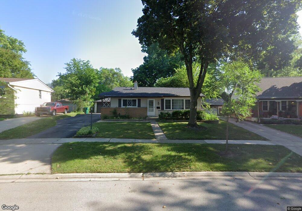
642 Hickory Dr Buffalo Grove, IL 60089
South Buffalo Grove NeighborhoodEstimated Value: $364,000 - $396,000
3
Beds
2
Baths
1,024
Sq Ft
$373/Sq Ft
Est. Value
About This Home
This home is located at 642 Hickory Dr, Buffalo Grove, IL 60089 and is currently estimated at $381,685, approximately $372 per square foot. 642 Hickory Dr is a home located in Cook County with nearby schools including Henry W Longfellow Elementary School, Cooper Middle School, and Buffalo Grove High School.
Ownership History
Date
Name
Owned For
Owner Type
Purchase Details
Closed on
Oct 7, 2020
Sold by
Fortune Properties Llc
Bought by
Zaslavsky Rebecca L
Current Estimated Value
Home Financials for this Owner
Home Financials are based on the most recent Mortgage that was taken out on this home.
Original Mortgage
$232,000
Interest Rate
2.7%
Mortgage Type
New Conventional
Purchase Details
Closed on
Jan 21, 2020
Sold by
Reinhart Thomas and Reinhart Mary
Bought by
Fortune Properties Llc
Home Financials for this Owner
Home Financials are based on the most recent Mortgage that was taken out on this home.
Original Mortgage
$126,330
Interest Rate
4.75%
Mortgage Type
Future Advance Clause Open End Mortgage
Purchase Details
Closed on
Sep 22, 2008
Sold by
Woodlief Paula and Reinhart Thomas
Bought by
Reinhart Thomas and Reinhart Mary
Create a Home Valuation Report for This Property
The Home Valuation Report is an in-depth analysis detailing your home's value as well as a comparison with similar homes in the area
Home Values in the Area
Average Home Value in this Area
Purchase History
| Date | Buyer | Sale Price | Title Company |
|---|---|---|---|
| Zaslavsky Rebecca L | $290,000 | First American Title | |
| Fortune Properties Llc | $168,500 | Fidelity National Title | |
| Reinhart Thomas | -- | None Available |
Source: Public Records
Mortgage History
| Date | Status | Borrower | Loan Amount |
|---|---|---|---|
| Previous Owner | Zaslavsky Rebecca L | $232,000 | |
| Previous Owner | Fortune Properties Llc | $126,330 |
Source: Public Records
Tax History Compared to Growth
Tax History
| Year | Tax Paid | Tax Assessment Tax Assessment Total Assessment is a certain percentage of the fair market value that is determined by local assessors to be the total taxable value of land and additions on the property. | Land | Improvement |
|---|---|---|---|---|
| 2024 | $6,991 | $25,159 | $6,673 | $18,486 |
| 2023 | $8,314 | $25,159 | $6,673 | $18,486 |
| 2022 | $8,314 | $27,000 | $6,673 | $20,327 |
| 2021 | $7,968 | $22,552 | $4,263 | $18,289 |
| 2020 | $6,687 | $22,552 | $4,263 | $18,289 |
| 2019 | $7,312 | $27,046 | $4,263 | $22,783 |
| 2018 | $7,058 | $23,929 | $3,707 | $20,222 |
| 2017 | $6,948 | $23,929 | $3,707 | $20,222 |
| 2016 | $6,731 | $23,929 | $3,707 | $20,222 |
| 2015 | $6,101 | $20,582 | $3,150 | $17,432 |
| 2014 | $6,018 | $20,582 | $3,150 | $17,432 |
| 2013 | $5,545 | $20,582 | $3,150 | $17,432 |
Source: Public Records
Map
Nearby Homes
- 310 Rosewood Ave
- 410 Chatham Cir
- 98 Stonegate Rd
- 455 Mayfair Ln
- 921 Bernard Dr
- 408 Indian Hill Dr
- 535 Estate Dr
- 476 Raupp Blvd
- 25 Crestview Terrace
- 665 Thornwood Dr
- 859 Beechwood Rd
- 746 Old Checker Rd Unit E5
- 183 Saint Marys Pkwy
- 234 Mohawk Trail
- 813 Stradford Cir Unit 21B2
- 872 Old Checker Rd Unit E3
- 98 Glendale Rd
- 820 Weidner Rd Unit 4013
- 820 Weidner Rd Unit 409
- 443 Diane Dr