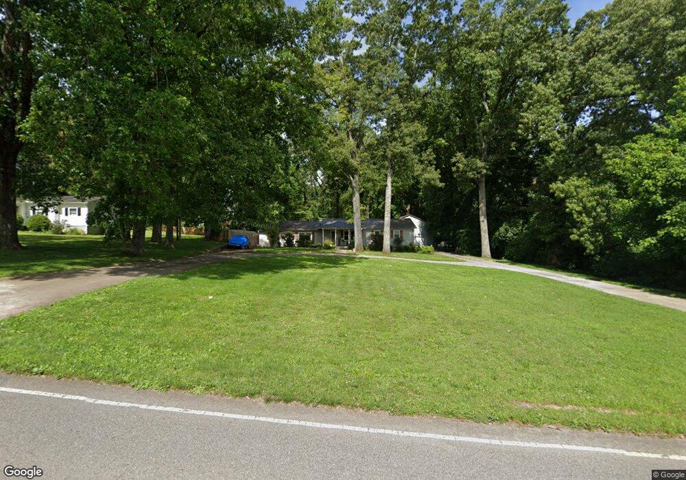
642 Homer Nance Rd Huntsville, AL 35811
Ryland NeighborhoodEstimated Value: $178,000 - $350,000
--
Bed
1
Bath
2,044
Sq Ft
$129/Sq Ft
Est. Value
About This Home
This home is located at 642 Homer Nance Rd, Huntsville, AL 35811 and is currently estimated at $262,696, approximately $128 per square foot. 642 Homer Nance Rd is a home with nearby schools including Mt Carmel Elementary School, Riverton Intermediate School, and Buckhorn Middle School.
Ownership History
Date
Name
Owned For
Owner Type
Purchase Details
Closed on
Aug 30, 2005
Sold by
King Tonja M and Williams Tonja
Bought by
Williams Tonja and Williams Ricky
Current Estimated Value
Home Financials for this Owner
Home Financials are based on the most recent Mortgage that was taken out on this home.
Original Mortgage
$142,200
Outstanding Balance
$81,250
Interest Rate
6.95%
Mortgage Type
Adjustable Rate Mortgage/ARM
Estimated Equity
$181,446
Create a Home Valuation Report for This Property
The Home Valuation Report is an in-depth analysis detailing your home's value as well as a comparison with similar homes in the area
Home Values in the Area
Average Home Value in this Area
Purchase History
| Date | Buyer | Sale Price | Title Company |
|---|---|---|---|
| Williams Tonja | -- | -- |
Source: Public Records
Mortgage History
| Date | Status | Borrower | Loan Amount |
|---|---|---|---|
| Open | Williams Tonja | $142,200 |
Source: Public Records
Tax History Compared to Growth
Tax History
| Year | Tax Paid | Tax Assessment Tax Assessment Total Assessment is a certain percentage of the fair market value that is determined by local assessors to be the total taxable value of land and additions on the property. | Land | Improvement |
|---|---|---|---|---|
| 2024 | $536 | $16,180 | $2,260 | $13,920 |
| 2023 | $536 | $15,800 | $2,260 | $13,540 |
| 2022 | $436 | $13,360 | $1,320 | $12,040 |
| 2021 | $389 | $12,080 | $1,320 | $10,760 |
| 2020 | $361 | $11,310 | $1,310 | $10,000 |
| 2019 | $348 | $10,940 | $1,310 | $9,630 |
| 2018 | $321 | $10,200 | $0 | $0 |
| 2017 | $321 | $10,200 | $0 | $0 |
| 2016 | $321 | $10,200 | $0 | $0 |
| 2015 | $321 | $10,200 | $0 | $0 |
| 2014 | $317 | $10,100 | $0 | $0 |
Source: Public Records
Map
Nearby Homes
- 606 Homer Nance Rd
- 156 San Leonardo Way
- 122 Mykeys Way
- 115 Ranna Dr
- 101 Whitetail Dr
- 102 Green Lite Way
- 100 Green Lite Way
- 106 Green Lite Way
- 104 Green Lite Way
- 114 River Meadow Way
- 130 Ranna Dr
- 134 Ranna Dr
- 136 Ranna Dr
- 121 Headen Ln
- 100 Stone River Rd
- 118 Stone River Rd
- 130 Blackburn Trace
- 319 Jackson Point Cir
- 309 Wanto Ln
- The Shelburne Plan at Blue Ridge at Mount Carmel - Signature Series
- 632 Homer Nance Rd
- 626 Homer Nance Rd
- 165 Francisco Rd
- 175 Francisco Rd
- 618 Homer Nance Rd
- 2 Mt Carmel Rd
- 153 Francisco Rd
- 610 Homer Nance Rd
- 154 Francisco Rd
- 137 Francisco Rd
- 115 Squirrel Dr
- 315 Clearvue Rd
- 113 Squirrel Dr
- 116 Squirrel Dr
- 116 Way
- 125 Francisco Rd
- 1413 San Fernando Way
- 142 Francisco Rd
- 114 Squirrel Dr
- 111 Squirrel Dr