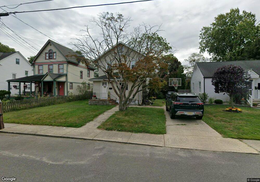
642 Overton Place Long Branch, NJ 07740
Estimated Value: $515,000 - $568,737
3
Beds
1
Bath
1,460
Sq Ft
$374/Sq Ft
Est. Value
About This Home
This home is located at 642 Overton Place, Long Branch, NJ 07740 and is currently estimated at $546,184, approximately $374 per square foot. 642 Overton Place is a home located in Monmouth County with nearby schools including Long Branch High School, Holy Trinity School, and Bet Yaakov of the Jersey Shore.
Ownership History
Date
Name
Owned For
Owner Type
Purchase Details
Closed on
Feb 7, 2003
Sold by
Guertin David
Bought by
Smith Jerome
Current Estimated Value
Home Financials for this Owner
Home Financials are based on the most recent Mortgage that was taken out on this home.
Original Mortgage
$161,900
Outstanding Balance
$68,983
Interest Rate
5.88%
Estimated Equity
$477,201
Create a Home Valuation Report for This Property
The Home Valuation Report is an in-depth analysis detailing your home's value as well as a comparison with similar homes in the area
Home Values in the Area
Average Home Value in this Area
Purchase History
| Date | Buyer | Sale Price | Title Company |
|---|---|---|---|
| Smith Jerome | $179,900 | -- |
Source: Public Records
Mortgage History
| Date | Status | Borrower | Loan Amount |
|---|---|---|---|
| Open | Smith Jerome | $161,900 |
Source: Public Records
Tax History Compared to Growth
Tax History
| Year | Tax Paid | Tax Assessment Tax Assessment Total Assessment is a certain percentage of the fair market value that is determined by local assessors to be the total taxable value of land and additions on the property. | Land | Improvement |
|---|---|---|---|---|
| 2025 | $7,637 | $569,600 | $335,100 | $234,500 |
| 2024 | $6,518 | $496,900 | $272,600 | $224,300 |
| 2023 | $6,518 | $419,700 | $205,600 | $214,100 |
| 2022 | $5,763 | $320,200 | $131,600 | $188,600 |
| 2021 | $5,763 | $288,000 | $111,600 | $176,400 |
| 2020 | $5,789 | $277,000 | $101,600 | $175,400 |
| 2019 | $5,545 | $263,800 | $96,600 | $167,200 |
| 2018 | $5,384 | $254,700 | $93,600 | $161,100 |
| 2017 | $5,185 | $251,600 | $93,600 | $158,000 |
| 2016 | $5,024 | $248,600 | $94,600 | $154,000 |
| 2015 | $5,162 | $231,800 | $96,500 | $135,300 |
| 2014 | $4,822 | $228,200 | $108,200 | $120,000 |
Source: Public Records
Map
Nearby Homes
- 2 Hilltop Rd
- 264 Norwood Ave
- 88 Norwood Ave
- 440 W End Ave
- 54 Wall St
- 21 Dennis St
- 317 Norwood Ave
- 28 Norwood Ave
- 11 Fairway Ave
- 570 Monmouth Place
- 434 Westwood Ave
- 552 Westwood Ave
- 364 Westwood Ave Unit 39
- 364 Westwood Ave Unit 71
- 364 Westwood Ave Unit 21
- 388 Brookdale Ave
- 377 Westwood Ave
- 399 Willow Ave
- 345 Hollywood Ave
- 298 Poole Ave
- 644 Overton Place
- 638 Overton Place
- 634 Overton Place
- 631 Wall St
- 203 Oakwood Ave
- 627 Wall St
- 635 Wall St Unit 637
- 199 Oakwood Ave
- 623 Wall St
- 635 Wall St
- 211 Oakwood Ave
- 639 Overton Place
- 626 Overton Place
- 641 Overton Place
- 637 Overton Place
- 619 Wall St
- 207 Oakwood Ave Unit 2
- 207 Oakwood Ave Unit 2
- 635 Overton Place
- 643 Overton Place