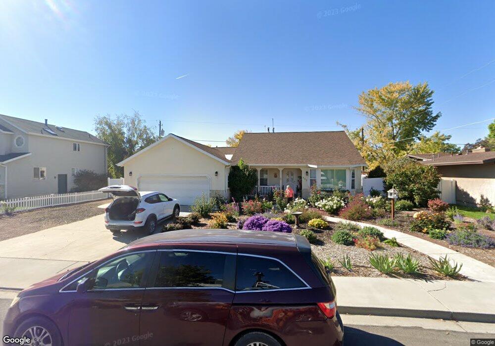
642 S 350 W Unit 1 Orem, UT 84058
Orem South NeighborhoodEstimated Value: $610,000 - $691,000
4
Beds
4
Baths
3,650
Sq Ft
$181/Sq Ft
Est. Value
About This Home
This home is located at 642 S 350 W Unit 1, Orem, UT 84058 and is currently estimated at $659,719, approximately $180 per square foot. 642 S 350 W Unit 1 is a home located in Utah County with nearby schools including Orem Elementary School, Lakeridge Jr High School, and Mountain View High School.
Ownership History
Date
Name
Owned For
Owner Type
Purchase Details
Closed on
Mar 31, 2010
Sold by
Condie Margaret
Bought by
Tessen Forrest S and Tessen Colleen K
Current Estimated Value
Home Financials for this Owner
Home Financials are based on the most recent Mortgage that was taken out on this home.
Original Mortgage
$225,000
Outstanding Balance
$148,964
Interest Rate
4.88%
Mortgage Type
New Conventional
Estimated Equity
$510,755
Purchase Details
Closed on
Apr 19, 2002
Sold by
Grotegut Michael Stewart and Grotegut Nola Wheeler
Bought by
Condie Reed G and Condie Margaret
Create a Home Valuation Report for This Property
The Home Valuation Report is an in-depth analysis detailing your home's value as well as a comparison with similar homes in the area
Home Values in the Area
Average Home Value in this Area
Purchase History
| Date | Buyer | Sale Price | Title Company |
|---|---|---|---|
| Tessen Forrest S | -- | Utah Commercial Title | |
| Condie Reed G | -- | Titlewriters Inc |
Source: Public Records
Mortgage History
| Date | Status | Borrower | Loan Amount |
|---|---|---|---|
| Open | Tessen Forrest S | $225,000 |
Source: Public Records
Tax History
| Year | Tax Paid | Tax Assessment Tax Assessment Total Assessment is a certain percentage of the fair market value that is determined by local assessors to be the total taxable value of land and additions on the property. | Land | Improvement |
|---|---|---|---|---|
| 2025 | $2,658 | $346,060 | -- | -- |
| 2024 | $2,658 | $325,050 | $0 | $0 |
| 2023 | $2,485 | $326,535 | $0 | $0 |
| 2022 | $2,497 | $317,900 | $0 | $0 |
| 2021 | $2,326 | $448,600 | $188,400 | $260,200 |
| 2020 | $2,141 | $405,800 | $150,700 | $255,100 |
| 2019 | $2,000 | $394,200 | $139,100 | $255,100 |
| 2018 | $1,933 | $364,000 | $119,800 | $244,200 |
| 2017 | $1,758 | $177,320 | $0 | $0 |
| 2016 | $1,888 | $175,670 | $0 | $0 |
| 2015 | $1,839 | $161,755 | $0 | $0 |
| 2014 | $1,824 | $159,720 | $0 | $0 |
Source: Public Records
Map
Nearby Homes
Your Personal Tour Guide
Ask me questions while you tour the home.