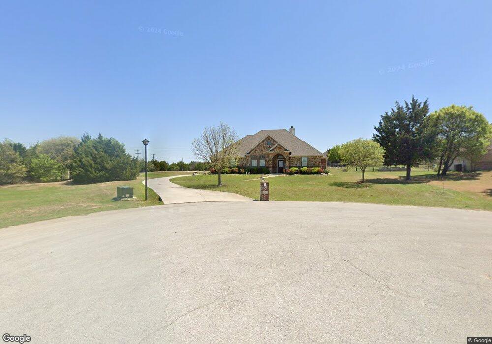
642 Sandwood Ct Weatherford, TX 76085
Estimated Value: $497,152 - $517,000
4
Beds
3
Baths
2,188
Sq Ft
$234/Sq Ft
Est. Value
About This Home
This home is located at 642 Sandwood Ct, Weatherford, TX 76085 and is currently estimated at $511,038, approximately $233 per square foot. 642 Sandwood Ct is a home located in Parker County with nearby schools including Martin Elementary School, Tison Middle School, and Weatherford High School.
Ownership History
Date
Name
Owned For
Owner Type
Purchase Details
Closed on
Nov 12, 2010
Sold by
National Transfer Services Llc
Bought by
Christy Delbert James and Christy Rhonda Darlene
Current Estimated Value
Purchase Details
Closed on
Oct 9, 2008
Sold by
Ray French Land Company Ltd
Bought by
Christy Delbert J and Christy Rhonda D
Home Financials for this Owner
Home Financials are based on the most recent Mortgage that was taken out on this home.
Original Mortgage
$169,600
Interest Rate
6.46%
Mortgage Type
Purchase Money Mortgage
Purchase Details
Closed on
May 17, 2006
Sold by
Avanti Landscape Magment Inc
Bought by
Christy Delbert J and Christy Rhonda D
Create a Home Valuation Report for This Property
The Home Valuation Report is an in-depth analysis detailing your home's value as well as a comparison with similar homes in the area
Home Values in the Area
Average Home Value in this Area
Purchase History
| Date | Buyer | Sale Price | Title Company |
|---|---|---|---|
| Christy Delbert James | -- | Stnt | |
| National Transfer Services Llc | -- | Stnt | |
| Christy Delbert J | -- | -- | |
| Foshee Caleb C | -- | None Available | |
| Christy Delbert J | -- | -- |
Source: Public Records
Mortgage History
| Date | Status | Borrower | Loan Amount |
|---|---|---|---|
| Previous Owner | Foshee Caleb C | $169,600 |
Source: Public Records
Tax History Compared to Growth
Tax History
| Year | Tax Paid | Tax Assessment Tax Assessment Total Assessment is a certain percentage of the fair market value that is determined by local assessors to be the total taxable value of land and additions on the property. | Land | Improvement |
|---|---|---|---|---|
| 2025 | $545 | $422,470 | $79,990 | $342,480 |
| 2024 | $545 | $435,512 | -- | -- |
| 2023 | $545 | $395,920 | $0 | $0 |
| 2022 | $6,701 | $363,450 | $50,000 | $313,450 |
| 2021 | $6,605 | $363,450 | $50,000 | $313,450 |
| 2020 | $6,033 | $308,110 | $25,000 | $283,110 |
| 2019 | $5,851 | $308,110 | $25,000 | $283,110 |
| 2018 | $5,348 | $248,450 | $25,000 | $223,450 |
| 2017 | $4,961 | $248,450 | $25,000 | $223,450 |
| 2016 | $4,510 | $203,170 | $25,000 | $178,170 |
| 2015 | $3,330 | $203,170 | $25,000 | $178,170 |
| 2014 | $3,187 | $177,660 | $25,000 | $152,660 |
Source: Public Records
Map
Nearby Homes
- 777 Trailwood Dr
- 408 Sandridge Dr
- 116 Sandstone Ln
- 1301 Eagle Dr
- 1337 Eagle Dr
- 2526 Hayley Dr
- 2517 Hayley Dr
- 1305 Green Ridge Rd
- Haven Plan at Wossum Ranch
- 1300 Green Ridge Rd
- Vista Plan at Wossum Ranch
- 1541 Stanchion Way
- 1605 Stanchion Way
- 1201 Azle Hwy
- 106 Rambling Trail
- 1860 Trailwood Dr
- 1624 Sandle Wood Dr
- 1629 Silverstone Dr
- 707 Gail Dr
- 719 Gail Dr
- 636 Sandwood Ct
- 643 Sandwood Ct
- 637 Sandwood Ct
- 501 Sandhill Ct
- 505 Sandhill Ct
- 631 Sandwood Ct
- 701 Trailwood Dr
- 611 Trailwood Dr
- 186 Sandstone Ln
- 769 Trailwood Dr
- 791 Trailwood Dr
- 625 Sandwood Ct
- 591 Trailwood Dr
- 606 Sandwood Ct
- 178 Sandstone Ln
- 811 Trailwood Dr
- 600 Sandwood Ct
- 440 Sandridge Dr
- 823 Trailwood Dr
- 177 Sandstone Ln