642 Sapp Rd Quitman, GA 31643
Estimated Value: $243,000 - $478,071
Studio
1
Bath
1,932
Sq Ft
$187/Sq Ft
Est. Value
About This Home
This home is located at 642 Sapp Rd, Quitman, GA 31643 and is currently estimated at $360,536, approximately $186 per square foot. 642 Sapp Rd is a home with nearby schools including North Brooks Elementary School.
Ownership History
Date
Name
Owned For
Owner Type
Purchase Details
Closed on
Oct 4, 2017
Sold by
Sapp Danny R
Bought by
Sapp Joshua Ryan
Current Estimated Value
Purchase Details
Closed on
Apr 28, 2011
Sold by
Sapp Deborah H
Bought by
Sapp Danny R
Purchase Details
Closed on
Aug 31, 2010
Sold by
Sapp Danny R
Bought by
Ives Ashley L
Purchase Details
Closed on
Jun 5, 2009
Sold by
Sapp Deborah H and Sapp Danny R
Bought by
Conservation Use Covenant Recording
Purchase Details
Closed on
Nov 10, 2003
Sold by
Sapp Danny
Bought by
Sapp Deborah H and Sapp Danny R
Purchase Details
Closed on
Jul 6, 1990
Sold by
Sapp Louise L
Bought by
Sapp Danny
Purchase Details
Closed on
Feb 4, 1987
Bought by
Sapp Franklin
Purchase Details
Closed on
May 2, 1984
Sold by
Planted Pine Farms Inc
Bought by
Sapp Franklin
Purchase Details
Closed on
May 27, 1982
Sold by
Sapp Virginia C and Sapp Franklin
Bought by
Planted Pine Farms Inc
Create a Home Valuation Report for This Property
The Home Valuation Report is an in-depth analysis detailing your home's value as well as a comparison with similar homes in the area
Purchase History
| Date | Buyer | Sale Price | Title Company |
|---|---|---|---|
| Sapp Joshua Ryan | -- | -- | |
| Sapp Danny R | -- | -- | |
| Ives Ashley L | -- | -- | |
| Sapp Deborah H | -- | -- | |
| Conservation Use Covenant Recording | -- | -- | |
| Sapp Deborah H | -- | -- | |
| Sapp Danny | $22,200 | -- | |
| Sapp Louise L | -- | -- | |
| Sapp Franklin | -- | -- | |
| Sapp Franklin | $5,000 | -- | |
| Planted Pine Farms Inc | -- | -- |
Source: Public Records
Tax History
| Year | Tax Paid | Tax Assessment Tax Assessment Total Assessment is a certain percentage of the fair market value that is determined by local assessors to be the total taxable value of land and additions on the property. | Land | Improvement |
|---|---|---|---|---|
| 2025 | $2,801 | $160,016 | $76,200 | $83,816 |
| 2024 | $2,792 | $160,016 | $76,200 | $83,816 |
| 2023 | $2,217 | $146,068 | $66,080 | $79,988 |
| 2022 | $2,685 | $135,612 | $62,960 | $72,652 |
| 2021 | $2,283 | $109,236 | $49,320 | $59,916 |
| 2020 | $3,038 | $109,396 | $49,320 | $60,076 |
| 2019 | $1,966 | $91,756 | $40,760 | $50,996 |
| 2018 | $2,616 | $89,556 | $38,440 | $51,116 |
Source: Public Records
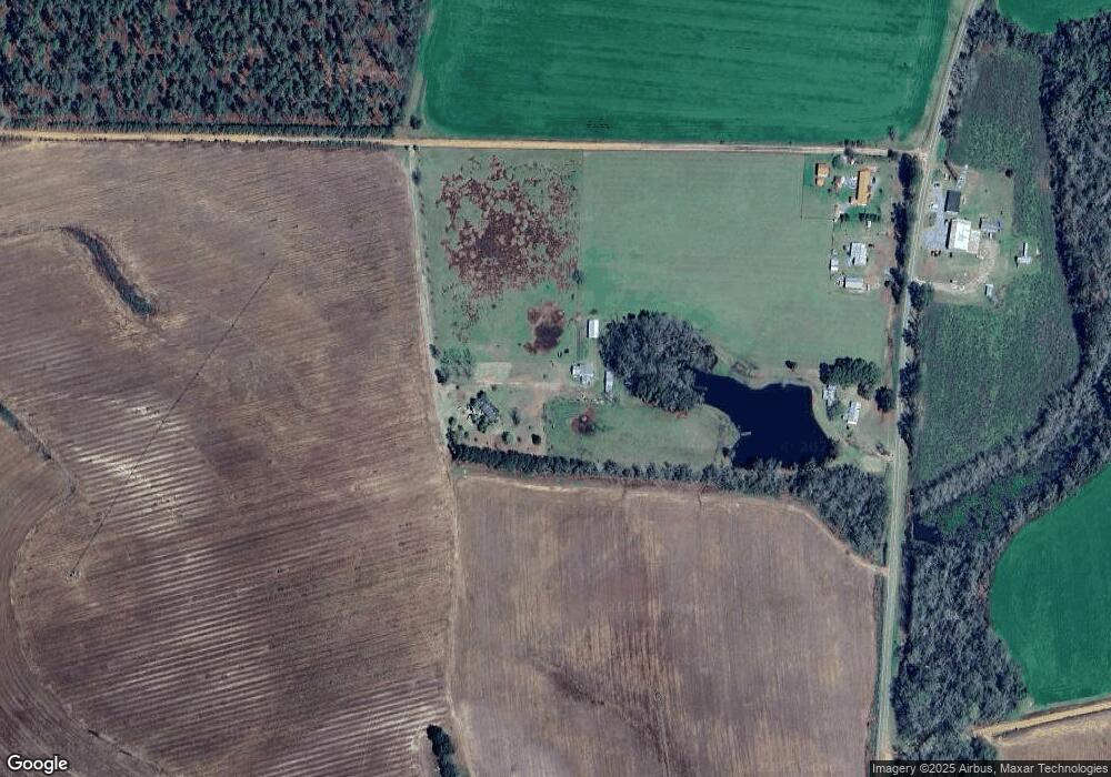
Map
Nearby Homes
- 1521 Mount Carmel Chuch Rx
- 2430 Spain Rd
- 1019 Fodie Rd
- 237 Turkey Ridge Ln
- 103 Victorian Way
- 714 Morris Ave
- 506 Oglesby St
- 807 N Court St
- 2661 Dewberry Rd
- 606 N Court St
- 700 N Washington St
- 1001 W Bartow St
- 179 Baker St
- 0 E Gordon St
- 1501 W Screven St
- 203 N Clay St
- Lot 14 Dawn Ln
- 103 Magnolia Dr
- 103 Camellia Dr
- 1306 E Screven St
- 1429 Johnson Rd
- 0 Jackson Rd
- 1739 Jackson Rd
- 310 Dewey Rd
- 349 Dewey Rd
- 1873 Jackson Rd
- 349 Spain Rd
- 475 Dewey Rd
- 577 Moore Pond Ln
- 6100 Moultrie Hwy
- 6066 Moultrie Hwy
- 5700 Moultrie Hwy
- 630 Wildwood Dr
- 614 Wildwood Dr
- 5859 Moultrie Hwy
- 578 Wildwood Dr
- 2238 Jackson Rd
- 105 Moore Pond Ln
- 436 Wildwood Dr
- 2276 Jackson Rd
Your Personal Tour Guide
Ask me questions while you tour the home.