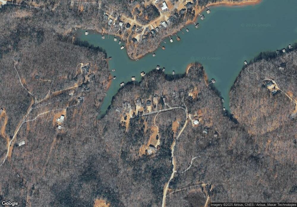
642 Smith Cir Martin, GA 30557
Estimated Value: $413,057 - $562,000
3
Beds
2
Baths
1,232
Sq Ft
$396/Sq Ft
Est. Value
About This Home
This home is located at 642 Smith Cir, Martin, GA 30557 and is currently estimated at $487,764, approximately $395 per square foot. 642 Smith Cir is a home with nearby schools including Stephens County High School.
Ownership History
Date
Name
Owned For
Owner Type
Purchase Details
Closed on
Feb 28, 2011
Sold by
Federal National Mortgage Association
Bought by
Wall Nicole
Current Estimated Value
Purchase Details
Closed on
Dec 10, 2004
Bought by
Pittman Christopher B
Purchase Details
Closed on
Jun 26, 2002
Bought by
<Buyer Info Not Present>
Purchase Details
Closed on
Jun 15, 2002
Bought by
<Buyer Info Not Present>
Purchase Details
Closed on
May 1, 1993
Bought by
<Buyer Info Not Present>
Purchase Details
Closed on
Aug 1, 1991
Bought by
<Buyer Info Not Present>
Create a Home Valuation Report for This Property
The Home Valuation Report is an in-depth analysis detailing your home's value as well as a comparison with similar homes in the area
Home Values in the Area
Average Home Value in this Area
Purchase History
| Date | Buyer | Sale Price | Title Company |
|---|---|---|---|
| Wall Nicole | $161,000 | -- | |
| Pittman Christopher B | $185,000 | -- | |
| <Buyer Info Not Present> | $65,000 | -- | |
| <Buyer Info Not Present> | $45,000 | -- | |
| <Buyer Info Not Present> | -- | -- | |
| <Buyer Info Not Present> | $8,500 | -- |
Source: Public Records
Tax History Compared to Growth
Tax History
| Year | Tax Paid | Tax Assessment Tax Assessment Total Assessment is a certain percentage of the fair market value that is determined by local assessors to be the total taxable value of land and additions on the property. | Land | Improvement |
|---|---|---|---|---|
| 2025 | $3,718 | $135,464 | $41,472 | $93,992 |
| 2024 | $3,304 | $108,494 | $41,472 | $67,022 |
| 2023 | $3,190 | $104,750 | $41,472 | $63,278 |
| 2022 | $3,034 | $101,911 | $41,472 | $60,439 |
| 2021 | $3,078 | $98,427 | $41,472 | $56,955 |
| 2020 | $3,106 | $98,362 | $41,472 | $56,890 |
| 2019 | $3,119 | $98,362 | $41,472 | $56,890 |
| 2018 | $2,992 | $94,362 | $41,472 | $52,890 |
| 2017 | $3,040 | $94,366 | $41,472 | $52,894 |
| 2016 | $2,992 | $94,365 | $41,472 | $52,893 |
| 2015 | $3,138 | $94,501 | $41,472 | $53,029 |
| 2014 | $3,190 | $94,501 | $41,472 | $53,029 |
| 2013 | -- | $95,062 | $41,472 | $53,590 |
Source: Public Records
Map
Nearby Homes
- 417 Century Dr
- 243 Continental Dr
- 81 Continental Dr
- 535 Brookwood Rd
- 277 Brookwood Rd
- 198 Brookwood Dr
- 80 Biscayne Dr
- 67 Renault St
- 366 Shore Crest Dr
- 386 Shore Crest Dr
- 275 Shore Crest Dr
- 221 Biscayne Dr
- 132 Brookwood Dr
- 231 Biscayne Dr
- 188 Imperial Dr
- 29 Dart St
- 280 Shore Crest Dr
- 228 Biscayne Dr
- 102 Century Dr
- 22 Century Dr
- 626 Smith Cir
- 654 Smith Cir
- 604 Smith Cir Unit 78
- 604 Smith Cir
- 219 Smith Cir Unit H
- 686 Smith Cir
- 686 Smith Cir
- LOT 49 Country Club Trail
- 566 Smith Cir
- 560 Smith Cir
- 552 Smith Cir
- 80 Country Lake Trail
- 556 Smith Cir
- 0 Smith Cir Unit 7268007
- 0 Smith Cir Unit 7558177
- 0 Smith Cir Unit LOT B 10331104
- 300 Corvair Dr
- 16 Bozworth Dr
- 15 Bozworth Dr
- 428 Smith Cir
