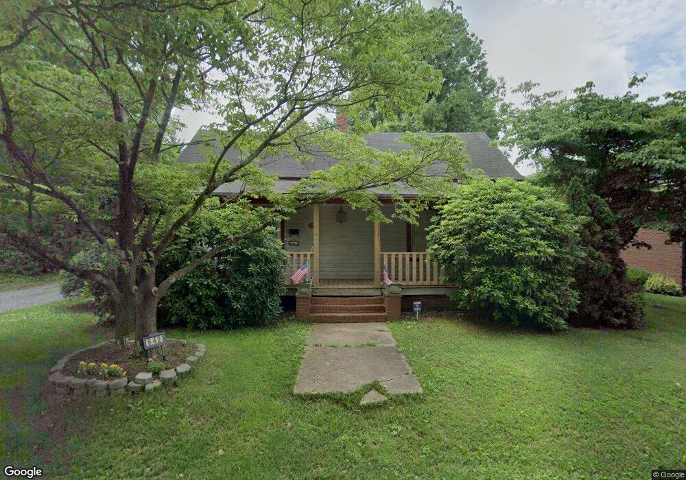
642 Stockton St Statesville, NC 28677
Estimated Value: $189,943 - $242,000
2
Beds
1
Bath
1,262
Sq Ft
$173/Sq Ft
Est. Value
About This Home
This home is located at 642 Stockton St, Statesville, NC 28677 and is currently estimated at $218,236, approximately $172 per square foot. 642 Stockton St is a home located in Iredell County with nearby schools including Third Creek Elementary School, Third Creek Middle School, and Statesville High School.
Ownership History
Date
Name
Owned For
Owner Type
Purchase Details
Closed on
Mar 29, 2010
Sold by
Taylor Nancy B and Taylor Eston Robert
Bought by
Lockman Bobbie C
Current Estimated Value
Home Financials for this Owner
Home Financials are based on the most recent Mortgage that was taken out on this home.
Original Mortgage
$90,000
Outstanding Balance
$59,735
Interest Rate
4.93%
Mortgage Type
New Conventional
Estimated Equity
$158,501
Purchase Details
Closed on
Sep 1, 1995
Purchase Details
Closed on
Apr 1, 1989
Purchase Details
Closed on
Jan 1, 1989
Create a Home Valuation Report for This Property
The Home Valuation Report is an in-depth analysis detailing your home's value as well as a comparison with similar homes in the area
Home Values in the Area
Average Home Value in this Area
Purchase History
| Date | Buyer | Sale Price | Title Company |
|---|---|---|---|
| Lockman Bobbie C | $90,000 | None Available | |
| -- | $52,000 | -- | |
| -- | -- | -- | |
| -- | $40,000 | -- |
Source: Public Records
Mortgage History
| Date | Status | Borrower | Loan Amount |
|---|---|---|---|
| Open | Lockman Bobbie C | $90,000 |
Source: Public Records
Tax History Compared to Growth
Tax History
| Year | Tax Paid | Tax Assessment Tax Assessment Total Assessment is a certain percentage of the fair market value that is determined by local assessors to be the total taxable value of land and additions on the property. | Land | Improvement |
|---|---|---|---|---|
| 2024 | $1,363 | $128,020 | $18,000 | $110,020 |
| 2023 | $1,363 | $128,020 | $18,000 | $110,020 |
| 2022 | $530 | $86,520 | $9,000 | $77,520 |
| 2021 | $558 | $86,520 | $9,000 | $77,520 |
| 2020 | $558 | $86,520 | $9,000 | $77,520 |
| 2019 | $553 | $86,520 | $9,000 | $77,520 |
| 2018 | $502 | $82,460 | $9,000 | $73,460 |
| 2017 | $493 | $82,460 | $9,000 | $73,460 |
| 2016 | $493 | $82,460 | $9,000 | $73,460 |
| 2015 | $413 | $82,460 | $9,000 | $73,460 |
| 2014 | $414 | $86,740 | $9,000 | $77,740 |
Source: Public Records
Map
Nearby Homes
- 213 Ramsey Ct Unit 213
- 314 Euclid Ave
- 640 Davie Ave
- 824 Davie Ave
- 504 Holland Dr
- 821 Wood St
- 709 E Front St
- 621 E Sharpe St
- 322 Salisbury Rd
- Lot 1 Magnolia St
- 915 Brookwood Ct
- 320 S Oakwood Dr
- 531 Whittington Place
- 445 Newton Ave
- Lot 79 Forest Park Dr
- 4 Brookgreen Place
- 1312 Forest Park Dr
- 636 Hackett St
- 630 Hackett St
- 506 Broadway Ct
- 626 Stockton St
- 624 Stockton St Unit 624
- 235 Euclid Ave
- 630 Stockton St Unit 630
- 304 Westwood Dr
- 231 Euclid Ave
- 620 Stockton St
- 305 Westwood Dr
- 308 Westwood Dr
- 229 Euclid Ave Unit B
- 229 Euclid Ave
- 629 Davie Ave
- 627 Davie Ave Unit 627
- 309 Westwood Dr
- 706 Stockton St
- 616 Stockton St
- 312 Westwood Dr
- 317 Euclid Ave
- 313 Westwood Dr
- 313 Westwood Dr Unit 3