642 Tenney Ave Amherst, OH 44001
Estimated Value: $230,288 - $304,000
2
Beds
1
Bath
2,171
Sq Ft
$129/Sq Ft
Est. Value
About This Home
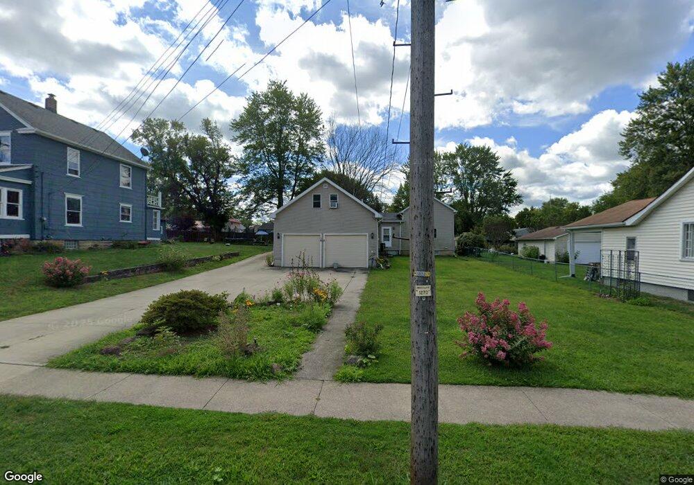
This home is located at 642 Tenney Ave, Amherst, OH 44001 and is currently estimated at $280,572, approximately $129 per square foot. 642 Tenney Ave is a home located in Lorain County with nearby schools including Powers Elementary School, Walter G. Nord Middle School, and Amherst Junior High School.
Ownership History
Date
Name
Owned For
Owner Type
Purchase Details
Closed on
Dec 7, 2000
Sold by
Contimortgage Corp
Bought by
Hembree Dewey F and Hembree Mildred F
Current Estimated Value
Purchase Details
Closed on
May 9, 2000
Sold by
Howard Cline and Cline Diane
Bought by
Contimortgage Corp
Purchase Details
Closed on
Aug 19, 1997
Sold by
Est Marylyn Bashak
Bought by
Cline Howard
Home Financials for this Owner
Home Financials are based on the most recent Mortgage that was taken out on this home.
Original Mortgage
$42,000
Interest Rate
7.71%
Mortgage Type
Balloon
Create a Home Valuation Report for This Property
The Home Valuation Report is an in-depth analysis detailing your home's value as well as a comparison with similar homes in the area
Home Values in the Area
Average Home Value in this Area
Purchase History
| Date | Buyer | Sale Price | Title Company |
|---|---|---|---|
| Hembree Dewey F | $27,000 | Midland Title Security Inc | |
| Contimortgage Corp | $40,000 | -- | |
| Cline Howard | $40,000 | -- |
Source: Public Records
Mortgage History
| Date | Status | Borrower | Loan Amount |
|---|---|---|---|
| Previous Owner | Cline Howard | $42,000 |
Source: Public Records
Tax History
| Year | Tax Paid | Tax Assessment Tax Assessment Total Assessment is a certain percentage of the fair market value that is determined by local assessors to be the total taxable value of land and additions on the property. | Land | Improvement |
|---|---|---|---|---|
| 2024 | $2,152 | $63,088 | $14,781 | $48,307 |
| 2023 | $1,378 | $37,912 | $13,846 | $24,066 |
| 2022 | $1,340 | $37,912 | $13,846 | $24,066 |
| 2021 | $1,792 | $37,912 | $13,846 | $24,066 |
| 2020 | $1,712 | $32,150 | $11,740 | $20,410 |
| 2019 | $1,678 | $32,150 | $11,740 | $20,410 |
| 2018 | $1,687 | $32,150 | $11,740 | $20,410 |
| 2017 | $1,639 | $29,330 | $9,950 | $19,380 |
| 2016 | $1,653 | $29,330 | $9,950 | $19,380 |
| 2015 | $1,645 | $29,330 | $9,950 | $19,380 |
| 2014 | $1,517 | $26,910 | $9,130 | $17,780 |
| 2013 | $1,522 | $26,910 | $9,130 | $17,780 |
Source: Public Records
Map
Nearby Homes
- 2176 Myla Way
- 145 Pearl St
- 495 Church St
- 472 Sunset Dr
- 653 Brennan Dr
- 107 Keswick Ct
- 180 S Leavitt Rd
- 162 S Leavitt Rd
- 267 Milan Ave
- 0 Middle Ridge Rd Unit 5180506
- 0 Middle Ridge Rd Unit 5102632
- V/L Middle Ridge Rd
- 645 Terra Ln
- 937 Longitude Ln
- 953 Longitude Ln
- 578 N Main St
- 772 Shadow Creek Trail
- 812 Bearing Ct
- 621 Van Oaks Dr
- 707 Lincoln St
Your Personal Tour Guide
Ask me questions while you tour the home.