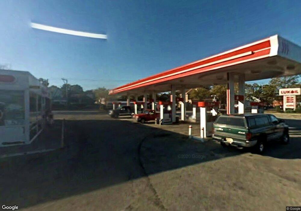
642 W Broad St Paulsboro, NJ 08066
--
Bed
--
Bath
--
Sq Ft
0.83
Acres
About This Home
This home is located at 642 W Broad St, Paulsboro, NJ 08066. 642 W Broad St is a home located in Gloucester County with nearby schools including Billingsport Elementary School, Loudenslager Elementary School, and Paulsboro High School.
Ownership History
Date
Name
Owned For
Owner Type
Purchase Details
Closed on
Nov 13, 2013
Sold by
Lukoil North America Llc
Bought by
Broad Gas Llc
Home Financials for this Owner
Home Financials are based on the most recent Mortgage that was taken out on this home.
Original Mortgage
$650,000
Outstanding Balance
$483,642
Interest Rate
4.25%
Mortgage Type
New Conventional
Purchase Details
Closed on
Oct 25, 2013
Sold by
Lukoil North America Llc
Bought by
Broad Gas Llc
Home Financials for this Owner
Home Financials are based on the most recent Mortgage that was taken out on this home.
Original Mortgage
$650,000
Outstanding Balance
$483,642
Interest Rate
4.25%
Mortgage Type
New Conventional
Purchase Details
Closed on
Nov 16, 2009
Sold by
Getty Petroleum Marketing Inc
Bought by
Lukoil North America Llc
Purchase Details
Closed on
Feb 7, 2000
Sold by
Mobil Oil Corp
Bought by
Bny Western Trust Company and Tosco Trust 2000-E
Create a Home Valuation Report for This Property
The Home Valuation Report is an in-depth analysis detailing your home's value as well as a comparison with similar homes in the area
Home Values in the Area
Average Home Value in this Area
Purchase History
| Date | Buyer | Sale Price | Title Company |
|---|---|---|---|
| Broad Gas Llc | $875,000 | -- | |
| Broad Gas Llc | $875,000 | -- | |
| Lukoil North America Llc | $867,090 | First American Title | |
| Bny Western Trust Company | $2,735,000 | Fidelity Title Abstract Co |
Source: Public Records
Mortgage History
| Date | Status | Borrower | Loan Amount |
|---|---|---|---|
| Open | Broad Gas Llc | $650,000 |
Source: Public Records
Tax History Compared to Growth
Tax History
| Year | Tax Paid | Tax Assessment Tax Assessment Total Assessment is a certain percentage of the fair market value that is determined by local assessors to be the total taxable value of land and additions on the property. | Land | Improvement |
|---|---|---|---|---|
| 2025 | $18,462 | $419,600 | $207,500 | $212,100 |
| 2024 | $18,446 | $419,600 | $207,500 | $212,100 |
| 2023 | $18,446 | $419,600 | $207,500 | $212,100 |
| 2022 | $18,110 | $419,600 | $207,500 | $212,100 |
| 2021 | $17,757 | $419,600 | $207,500 | $212,100 |
| 2020 | $17,648 | $419,600 | $207,500 | $212,100 |
| 2019 | $17,095 | $419,600 | $207,500 | $212,100 |
| 2018 | $16,117 | $419,600 | $207,500 | $212,100 |
| 2017 | $16,050 | $419,600 | $207,500 | $212,100 |
| 2016 | $15,290 | $419,600 | $207,500 | $212,100 |
| 2015 | $15,202 | $419,600 | $207,500 | $212,100 |
| 2014 | $14,132 | $419,600 | $207,500 | $212,100 |
Source: Public Records
Map
Nearby Homes
- 836 E Broad St
- 219 Vanneman Blvd
- 330 Croce Ave
- 335 W Buck St
- 344 W Washington St
- L18 20 W Broad St
- 255 Elizabeth Ave
- 269 W Broad St
- 1214 Walter Ave
- 1043 Penn Line Rd
- 1224 Heddon Ave
- 227 W Buck St
- 1534 Pine St
- 1519 Pine St
- 122 W Washington St
- 129 W Washington St
- 140 142 W Jefferson St
- 28 W Jefferson St
- 21 W Adams St
- 11 W Washington St
- 1294 Berkley Rd
- 913 Berkley Rd
- 924 Berkley Rd
- 918 Berkley Rd
- 914 Berkley Rd
- 934 Berkley Rd
- 912 Berkley Rd
- 938 Berkley Rd
- 211 Berkley Rd
- 125 Thompson Ave
- 946 Berkley Rd
- 116 Thompson Ave
- 129 Thompson Ave
- 952 Berkley Rd
- 120 Thompson Ave
- 213 Berkley Rd
- 115 Newton Ave
- 135 Thompson Ave
- 126 Thompson Ave
- 130 Thompson Ave