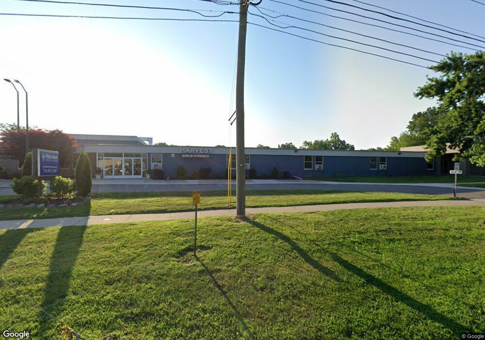
6420 N Newburgh Rd Westland, MI 48185
Estimated Value: $2,380,023
--
Bed
--
Bath
--
Sq Ft
11.88
Acres
About This Home
This home is located at 6420 N Newburgh Rd, Westland, MI 48185 and is currently estimated at $2,380,023. 6420 N Newburgh Rd is a home with nearby schools including P.D. Graham Elementary School, Marshall Upper Elementary School, and Adlai Stevenson Middle School.
Ownership History
Date
Name
Owned For
Owner Type
Purchase Details
Closed on
Mar 16, 2011
Sold by
Wayne Westland Community Schools
Bought by
Harvest Bible Chapel
Current Estimated Value
Home Financials for this Owner
Home Financials are based on the most recent Mortgage that was taken out on this home.
Original Mortgage
$715,000
Outstanding Balance
$498,161
Interest Rate
5.09%
Mortgage Type
Future Advance Clause Open End Mortgage
Estimated Equity
$1,881,862
Purchase Details
Closed on
Mar 7, 2007
Sold by
Fair Vada and Arnold Teresa A
Bought by
Fair Vada
Purchase Details
Closed on
Sep 1, 2000
Sold by
Cirocco George D
Bought by
Cirocco George D and Cirocco Josephine V
Create a Home Valuation Report for This Property
The Home Valuation Report is an in-depth analysis detailing your home's value as well as a comparison with similar homes in the area
Home Values in the Area
Average Home Value in this Area
Purchase History
| Date | Buyer | Sale Price | Title Company |
|---|---|---|---|
| Harvest Bible Chapel | $1,000,000 | Philip R Seaver Title Co Inc | |
| Fair Vada | -- | None Available | |
| Cirocco George D | -- | Attorney |
Source: Public Records
Mortgage History
| Date | Status | Borrower | Loan Amount |
|---|---|---|---|
| Open | Harvest Bible Chapel | $715,000 |
Source: Public Records
Tax History Compared to Growth
Tax History
| Year | Tax Paid | Tax Assessment Tax Assessment Total Assessment is a certain percentage of the fair market value that is determined by local assessors to be the total taxable value of land and additions on the property. | Land | Improvement |
|---|---|---|---|---|
| 2025 | $594 | $0 | $0 | $0 |
| 2024 | $594 | $0 | $0 | $0 |
| 2023 | $560 | $0 | $0 | $0 |
| 2022 | $576 | $0 | $0 | $0 |
| 2021 | $560 | $0 | $0 | $0 |
| 2019 | $528 | $0 | $0 | $0 |
| 2018 | $1,024 | $0 | $0 | $0 |
| 2017 | $1,024 | $0 | $0 | $0 |
| 2016 | $512 | $0 | $0 | $0 |
| 2015 | -- | $0 | $0 | $0 |
| 2013 | -- | $0 | $0 | $0 |
| 2012 | -- | $0 | $0 | $0 |
Source: Public Records
Map
Nearby Homes
- 37186 Amhurst Dr Unit 5
- 6541 Pembrook Dr
- 6013 N Newburgh Rd
- 6026 Wilmer St
- 5889 N Globe St
- 5834 Morley St
- 0 Dowling Ave
- 5692 N Globe St
- 35863 Hunter Ave Unit 34
- 38201 Carolon Blvd Unit 17B
- 38247 Carolon Blvd Unit 12C
- 2260 N Hix Rd Unit 1C
- 38066 Sherwood St
- 38030 Greenwood St
- 35754 Castlewood Ct
- 38343 Carolon Blvd
- 7330 Woodview St Unit 2
- 38302 Warner Farms Dr Unit 24
- 35737 Hunter Ave
- 6546 Quail Run Cir
- 0000 VL N Newburgh Rd
- 00 N Newburgh Rd
- 0000 N Newburgh Rd
- 6405 N Newburgh Rd
- 6345 N Newburgh Rd
- 37330 Amhurst Dr
- 37378 Amhurst Dr Unit 19
- 37366 Amhurst Dr Unit 18
- 37258 Amhurst Dr Unit 10
- 37258 Amhurst Dr
- 37354 Amhurst Dr
- 37329 Amhurst Dr
- 37365 Amhurst Dr
- 37294 Amhurst Dr
- 37353 Amhurst Dr
- 0 Amhurst Dr
- 37198 Amhurst Dr Unit Bldg-Unit
- 37198 Amhurst Dr
- 37257 Amhurst Dr
- 37341 Amhurst Dr