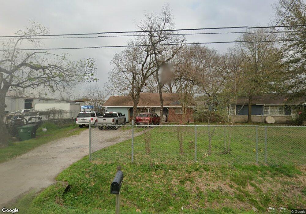
6420 Stuebner Airline Rd Houston, TX 77091
Northside-Northline NeighborhoodEstimated Value: $150,167 - $192,000
2
Beds
1
Bath
1,050
Sq Ft
$170/Sq Ft
Est. Value
About This Home
This home is located at 6420 Stuebner Airline Rd, Houston, TX 77091 and is currently estimated at $178,292, approximately $169 per square foot. 6420 Stuebner Airline Rd is a home located in Harris County with nearby schools including Wesley Elementary School, Williams Middle, and Booker T Washington Sr High.
Ownership History
Date
Name
Owned For
Owner Type
Purchase Details
Closed on
Sep 21, 2012
Sold by
Bustamante Sergio and Bustamante Aleyda
Bought by
Alvarez Bernardo S and Alvarez Elena H
Current Estimated Value
Home Financials for this Owner
Home Financials are based on the most recent Mortgage that was taken out on this home.
Original Mortgage
$50,000
Outstanding Balance
$7,649
Interest Rate
2.87%
Mortgage Type
New Conventional
Estimated Equity
$170,643
Create a Home Valuation Report for This Property
The Home Valuation Report is an in-depth analysis detailing your home's value as well as a comparison with similar homes in the area
Home Values in the Area
Average Home Value in this Area
Purchase History
| Date | Buyer | Sale Price | Title Company |
|---|---|---|---|
| Alvarez Bernardo S | -- | None Available |
Source: Public Records
Mortgage History
| Date | Status | Borrower | Loan Amount |
|---|---|---|---|
| Open | Alvarez Bernardo S | $50,000 |
Source: Public Records
Tax History Compared to Growth
Tax History
| Year | Tax Paid | Tax Assessment Tax Assessment Total Assessment is a certain percentage of the fair market value that is determined by local assessors to be the total taxable value of land and additions on the property. | Land | Improvement |
|---|---|---|---|---|
| 2025 | $2,619 | $125,172 | $80,430 | $44,742 |
| 2024 | $2,619 | $125,172 | $80,430 | $44,742 |
| 2023 | $2,619 | $125,172 | $80,430 | $44,742 |
| 2022 | $2,038 | $92,578 | $57,450 | $35,128 |
| 2021 | $1,934 | $82,963 | $45,960 | $37,003 |
| 2020 | $2,009 | $82,963 | $45,960 | $37,003 |
| 2019 | $1,860 | $73,498 | $22,980 | $50,518 |
| 2018 | $1,860 | $73,498 | $22,980 | $50,518 |
| 2017 | $1,858 | $73,498 | $22,980 | $50,518 |
| 2016 | $1,858 | $73,498 | $22,980 | $50,518 |
| 2015 | $1,889 | $73,498 | $22,980 | $50,518 |
| 2014 | $1,889 | $73,498 | $22,980 | $50,518 |
Source: Public Records
Map
Nearby Homes
- 0 Pickering St
- 609 W Parker Rd
- 6315 N Shepherd Dr
- 5736 Stuebner Airline Rd
- 6100 Stuebner Airline Rd
- 422 Surratt Dr
- 434 Yale Oaks Ln
- 422 Yale Oaks Ln
- 6057 Yale St
- 522 Surratt Dr
- 427 Yale Oaks Ln
- 410 Yale Oaks Ln
- 334 Yale Oaks Ln
- 406 Red Ripple Rd
- 327 Yale Oaks Ln
- 778 Pickering St
- 0 Brinkman Unit 54849680
- 824 W Rittenhouse St
- 6105 Morrow St
- 715 W Rittenhouse Rd
- 6416 Stuebner Airline Rd
- 516 Pickering St
- 6411 Stuebner Airline Rd
- 6415 Stuebner Airline Rd
- 512 Pickering St
- 6433 Stuebner Airline Rd
- 6407 Stuebner Airline Rd
- 510 Pickering St
- 6403 Stuebner Airline Rd
- 517 Pickering St
- 506 Pickering St
- 509 Pickering St
- 6318 Stuebner Airline Rd
- 615 W Parker Rd
- 610 Pickering St
- 505 Pickering St
- 504 Pickering St
- 503 Pickering St
- 502 Pickering St
- 610 W Parker Rd