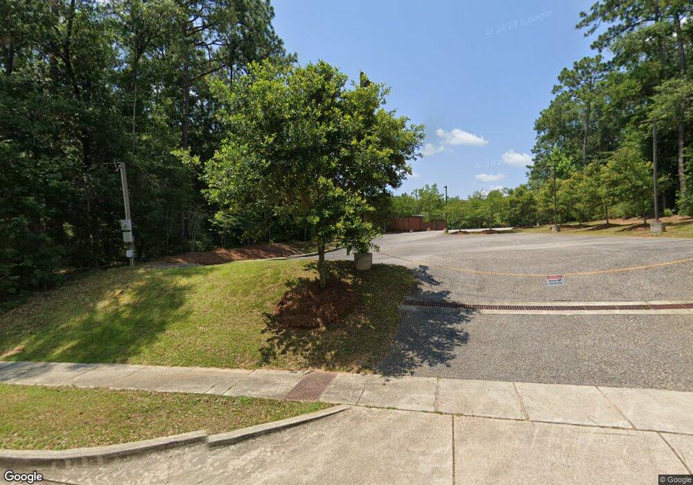
6420 Wall St Mobile, AL 36695
Thornhill NeighborhoodEstimated Value: $2,909,267
--
Bed
1
Bath
15,295
Sq Ft
$190/Sq Ft
Est. Value
About This Home
This home is located at 6420 Wall St, Mobile, AL 36695 and is currently estimated at $2,909,267, approximately $190 per square foot. 6420 Wall St is a home located in Mobile County with nearby schools including ER Dickson Elementary School, Burns Middle School, and WP Davidson High School.
Ownership History
Date
Name
Owned For
Owner Type
Purchase Details
Closed on
Mar 5, 2020
Sold by
Spectrum Real Estate Company Llc
Bought by
Jc Capital Holding Group Llc
Current Estimated Value
Home Financials for this Owner
Home Financials are based on the most recent Mortgage that was taken out on this home.
Original Mortgage
$1,350,000
Interest Rate
3.6%
Mortgage Type
Future Advance Clause Open End Mortgage
Purchase Details
Closed on
Jan 21, 2020
Sold by
Jc Capital Holding Group Llc
Bought by
Markley Brandon and Wall Street Llc
Home Financials for this Owner
Home Financials are based on the most recent Mortgage that was taken out on this home.
Original Mortgage
$1,350,000
Interest Rate
3.6%
Mortgage Type
Future Advance Clause Open End Mortgage
Purchase Details
Closed on
Oct 8, 2013
Sold by
Ward Properties Inc
Bought by
Spectrum Real Estate Company Llc
Create a Home Valuation Report for This Property
The Home Valuation Report is an in-depth analysis detailing your home's value as well as a comparison with similar homes in the area
Home Values in the Area
Average Home Value in this Area
Purchase History
| Date | Buyer | Sale Price | Title Company |
|---|---|---|---|
| Jc Capital Holding Group Llc | -- | None Available | |
| Markley Brandon | $2,625,000 | Pierce Ledyard Pc | |
| Spectrum Real Estate Company Llc | $1,090,000 | None Available |
Source: Public Records
Mortgage History
| Date | Status | Borrower | Loan Amount |
|---|---|---|---|
| Previous Owner | Jc Capital Holding Group Llc | $1,350,000 | |
| Previous Owner | Markley Brandon | $1,968,750 |
Source: Public Records
Tax History Compared to Growth
Tax History
| Year | Tax Paid | Tax Assessment Tax Assessment Total Assessment is a certain percentage of the fair market value that is determined by local assessors to be the total taxable value of land and additions on the property. | Land | Improvement |
|---|---|---|---|---|
| 2024 | $32,201 | $500,620 | $187,400 | $313,220 |
| 2023 | $32,201 | $466,300 | $187,400 | $278,900 |
| 2022 | $23,872 | $375,940 | $80,320 | $295,620 |
| 2021 | $24,101 | $379,540 | $53,380 | $326,160 |
| 2020 | $16,510 | $324,160 | $53,380 | $270,780 |
| 2019 | $15,724 | $247,620 | $53,380 | $194,240 |
| 2018 | $16,025 | $252,360 | $0 | $0 |
| 2017 | $17,240 | $271,500 | $0 | $0 |
| 2016 | $17,390 | $273,860 | $0 | $0 |
| 2013 | $8,498 | $131,360 | $0 | $0 |
Source: Public Records
Map
Nearby Homes
- 0 Wall St Unit 7654252
- 0 Hillcrest Rd Unit 7600208
- 962 Dickenson Ave
- 982 Dickenson Ave
- 6447 Johnston Ln
- 908 Schaub Ave
- 1059 Dickenson Ave
- 1065 Dickenson Ave
- 913 Schaub Ave
- 6313 Johnston Ln
- 754 Schaub Ave
- 854 W Briar Ct
- 6500 Hillcrest Crossing S
- 1115 Mcmurray Place E
- 1115 Mcmurray Place W
- 6608 Chimney Top Dr N
- 6601 Somerby Ln
- 1117 Mcmurray Place E
- 6701 Somerby Ln
- 6645 Somerby Ln
- 6420 Wall St
- 833 Timbers Dr
- 828 Timbers Dr
- 829 Timbers Dr
- 6505 Leslie Ct
- 6501 Leslie Ct
- 6509 Leslie Ct
- 0 Wall St Unit 655765
- 0 Wall St Unit 207763
- 0 Wall St Unit 180928
- 0 Wall St Unit 1 0171645
- 0 Wall St Unit 2 0171644
- 0 Wall St Unit 4
- 0 Wall St Unit 3
- 0 Wall St Unit 2
- 0 Wall St Unit 1
- 825 Timbers Dr
- 825 Timbers Dr
- 900 Hillcrest Rd Unit A2
- 900 Hillcrest Rd Unit STE A1
