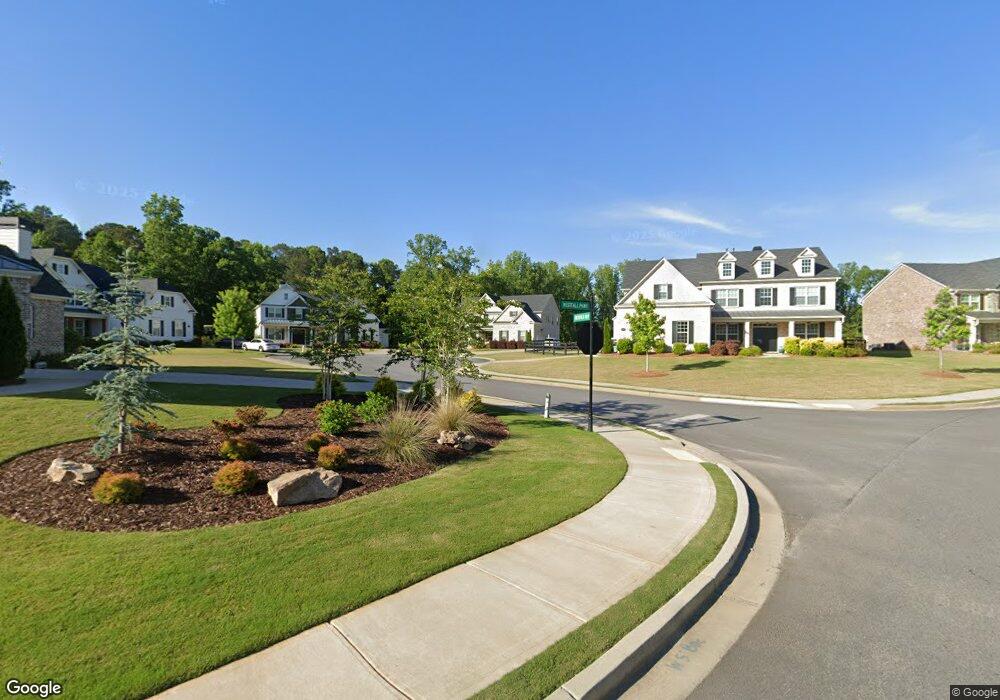
6420 Westfield Way Cumming, GA 30040
Estimated Value: $936,000 - $1,062,024
5
Beds
4
Baths
3,498
Sq Ft
$290/Sq Ft
Est. Value
About This Home
This home is located at 6420 Westfield Way, Cumming, GA 30040 and is currently estimated at $1,015,256, approximately $290 per square foot. 6420 Westfield Way is a home with nearby schools including Midway Elementary School, DeSana Middle School, and Denmark High School.
Ownership History
Date
Name
Owned For
Owner Type
Purchase Details
Closed on
Jul 14, 2017
Sold by
Sharp Residential Llc
Bought by
Lee Cooley and Cooley Kendra
Current Estimated Value
Home Financials for this Owner
Home Financials are based on the most recent Mortgage that was taken out on this home.
Original Mortgage
$424,100
Outstanding Balance
$352,549
Interest Rate
3.91%
Mortgage Type
New Conventional
Estimated Equity
$662,707
Purchase Details
Closed on
Mar 2, 2017
Sold by
Campground Road Llc
Bought by
Sharp Residential Llc
Create a Home Valuation Report for This Property
The Home Valuation Report is an in-depth analysis detailing your home's value as well as a comparison with similar homes in the area
Home Values in the Area
Average Home Value in this Area
Purchase History
| Date | Buyer | Sale Price | Title Company |
|---|---|---|---|
| Lee Cooley | $567,752 | -- | |
| Sharp Residential Llc | $115,000 | -- |
Source: Public Records
Mortgage History
| Date | Status | Borrower | Loan Amount |
|---|---|---|---|
| Open | Lee Cooley | $424,100 |
Source: Public Records
Tax History Compared to Growth
Tax History
| Year | Tax Paid | Tax Assessment Tax Assessment Total Assessment is a certain percentage of the fair market value that is determined by local assessors to be the total taxable value of land and additions on the property. | Land | Improvement |
|---|---|---|---|---|
| 2025 | $8,237 | $409,060 | $80,000 | $329,060 |
| 2024 | $8,237 | $397,628 | $78,000 | $319,628 |
| 2023 | $7,998 | $400,936 | $68,000 | $332,936 |
| 2022 | $7,222 | $238,536 | $64,000 | $174,536 |
| 2021 | $6,244 | $238,536 | $64,000 | $174,536 |
| 2020 | $5,993 | $226,376 | $53,200 | $173,176 |
| 2019 | $5,529 | $203,496 | $48,000 | $155,496 |
| 2018 | $5,507 | $202,296 | $46,000 | $156,296 |
| 2017 | $1,266 | $45,600 | $45,600 | $0 |
Source: Public Records
Map
Nearby Homes
- 6355 Westfallen Overlook
- 7160 Derby Trail
- 7830 Wynfield Cir
- 7665 Brentwood Ct Unit 1
- 6610 Major Dr
- 7065 Post Park Way
- 7235 Compton Cir
- 7210 Post Park Way
- 5045 Matthew Meadow Ct
- 7895 Wynfield Dr Unit 3
- 7105 Weybridge Dr
- 6155 Heritage Manor Dr
- 6797 Campground Rd
- 7020 Weybridge Dr
- 5902 Wills Orchard Rd
- 7325 Valance Ln
- 5855 Wills Lake Rd
- 6525 Westrock Terrace
- 6425 Westfield Way
- 6515 Westrock Terrace
- 6410 Westfield Way
- 6505 Westrock Terrace
- 6535 Westrock Terrace
- 0 Westfield Way
- 6415 Westfield Way
- 6520 Westrock Terrace
- 6405 Westfield Way
- 6530 Westrock Terrace
- 6510 Westrock Terrace
- 6420 Westfall Pkwy
- 6315 Westfall Pkwy
- 6410 Westfall Pkwy
- 6255 Westfall Pkwy
- 6910 Brookleigh Overlook
- 6330 Westfall Pkwy
- 6625 Brookleigh Overlook
- 6275 Westfall Pkwy