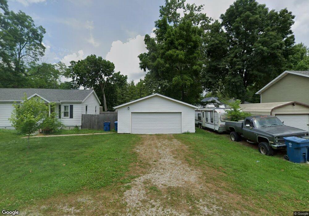
6421 Apache St Dayton, OH 45424
Estimated Value: $125,000 - $203,000
3
Beds
1
Bath
1,196
Sq Ft
$134/Sq Ft
Est. Value
About This Home
This home is located at 6421 Apache St, Dayton, OH 45424 and is currently estimated at $159,834, approximately $133 per square foot. 6421 Apache St is a home located in Montgomery County with nearby schools including Wayne High School.
Ownership History
Date
Name
Owned For
Owner Type
Purchase Details
Closed on
Jan 27, 2012
Sold by
Richert Helen S and Rickert Elmer A
Bought by
Dyer Matthew L
Current Estimated Value
Home Financials for this Owner
Home Financials are based on the most recent Mortgage that was taken out on this home.
Original Mortgage
$36,614
Interest Rate
3.86%
Mortgage Type
FHA
Purchase Details
Closed on
Jan 1, 2010
Sold by
Rickert Helen S
Bought by
Dyer Matthew and Reed Beth
Home Financials for this Owner
Home Financials are based on the most recent Mortgage that was taken out on this home.
Original Mortgage
$40,000
Interest Rate
5.03%
Mortgage Type
Seller Take Back
Purchase Details
Closed on
Aug 11, 2006
Sold by
Rickert Elmer A
Bought by
Rickert Helen S
Create a Home Valuation Report for This Property
The Home Valuation Report is an in-depth analysis detailing your home's value as well as a comparison with similar homes in the area
Home Values in the Area
Average Home Value in this Area
Purchase History
| Date | Buyer | Sale Price | Title Company |
|---|---|---|---|
| Dyer Matthew L | $42,650 | Performance Title | |
| Dyer Matthew | $40,000 | None Available | |
| Rickert Helen S | -- | None Available |
Source: Public Records
Mortgage History
| Date | Status | Borrower | Loan Amount |
|---|---|---|---|
| Previous Owner | Dyer Matthew L | $36,614 | |
| Previous Owner | Dyer Matthew | $40,000 |
Source: Public Records
Tax History Compared to Growth
Tax History
| Year | Tax Paid | Tax Assessment Tax Assessment Total Assessment is a certain percentage of the fair market value that is determined by local assessors to be the total taxable value of land and additions on the property. | Land | Improvement |
|---|---|---|---|---|
| 2024 | $1,393 | $24,060 | $2,560 | $21,500 |
| 2023 | $1,393 | $24,060 | $2,560 | $21,500 |
| 2022 | $1,734 | $24,060 | $2,560 | $21,500 |
| 2021 | $1,740 | $24,060 | $2,560 | $21,500 |
| 2020 | $1,741 | $24,060 | $2,560 | $21,500 |
| 2019 | $1,769 | $21,650 | $2,300 | $19,350 |
| 2018 | $1,774 | $21,650 | $2,300 | $19,350 |
| 2017 | $1,763 | $21,650 | $2,300 | $19,350 |
| 2016 | $1,808 | $21,740 | $2,560 | $19,180 |
| 2015 | $1,847 | $21,740 | $2,560 | $19,180 |
| 2014 | $1,847 | $21,740 | $2,560 | $19,180 |
| 2012 | -- | $24,160 | $3,360 | $20,800 |
Source: Public Records
Map
Nearby Homes
- 6512 Shore Dr
- 6494 Shore Dr
- Milford Plan at Canal Heights
- Cortland Plan at Canal Heights
- Chatham Plan at Canal Heights
- Fairfax Plan at Canal Heights
- Johnstown Plan at Canal Heights
- Newcastle Plan at Canal Heights
- Holcombe Plan at Canal Heights
- Bellamy Plan at Canal Heights
- 2251 Kiel St
- 827 Foxfire Trail
- 679 Deerhurst Dr
- 4572 Keeneland Ct
- 715 Deerhurst Dr
- 710 Deerhurst Dr
- Fairfax Plan at Foxfire - Maple Street Collection
- Yosemite Plan at Foxfire - Maple Street Collection
- Cumberland Plan at Foxfire - Maple Street Collection
- Jensen Plan at Foxfire - Maple Street Collection
- 6521 Apache St
- 4097 Mohegan Ave
- 4081 Chippewa Ave
- 4081 Cree Ave
- 6541 Apache St
- 6461 Rip Rap Rd
- 6475 Rip Rap Rd
- 6353 Apache St
- 4085 Mohegan Ave
- 4085 Mohegan Ave
- 4085 Mohegan Ave
- 4085 Mohegan Ave
- 4085 Mohegan Ave
- 4085 Mohegan Ave
- 6352 Apache St
- 4084 Mohegan Ave
- 6575 Shore Dr
- 4065 Mohegan Ave
- 6557 Shore Dr
- 4037 Chippewa Ave