Estimated Value: $393,003 - $409,000
3
Beds
2
Baths
1,608
Sq Ft
$249/Sq Ft
Est. Value
About This Home
This home is located at 6421 Harmony Grove Rd Unit G, Dover, PA 17315 and is currently estimated at $401,002, approximately $249 per square foot. 6421 Harmony Grove Rd Unit G is a home located in York County with nearby schools including Dover Area High School.
Ownership History
Date
Name
Owned For
Owner Type
Purchase Details
Closed on
May 28, 1999
Sold by
Fox George D and Frey Jeffrey L
Bought by
Strausser Lee S and Strausser Dixie Lee
Current Estimated Value
Home Financials for this Owner
Home Financials are based on the most recent Mortgage that was taken out on this home.
Original Mortgage
$90,000
Interest Rate
6.44%
Purchase Details
Closed on
May 13, 1994
Sold by
Fox George C and Fox Shirley L
Bought by
Sheffer Steven E and Sheffer Stacey M
Purchase Details
Closed on
Jul 7, 1987
Bought by
Fox George C and Fox Shirley L
Create a Home Valuation Report for This Property
The Home Valuation Report is an in-depth analysis detailing your home's value as well as a comparison with similar homes in the area
Home Values in the Area
Average Home Value in this Area
Purchase History
| Date | Buyer | Sale Price | Title Company |
|---|---|---|---|
| Strausser Lee S | $225,000 | -- | |
| Sheffer Steven E | $159,000 | -- | |
| Fox George C | $14,000 | -- |
Source: Public Records
Mortgage History
| Date | Status | Borrower | Loan Amount |
|---|---|---|---|
| Previous Owner | Strausser Lee S | $90,000 |
Source: Public Records
Tax History Compared to Growth
Tax History
| Year | Tax Paid | Tax Assessment Tax Assessment Total Assessment is a certain percentage of the fair market value that is determined by local assessors to be the total taxable value of land and additions on the property. | Land | Improvement |
|---|---|---|---|---|
| 2025 | $3,434 | $104,680 | $1,610 | $103,070 |
| 2024 | $3,403 | $104,680 | $1,610 | $103,070 |
| 2023 | $3,403 | $104,680 | $1,610 | $103,070 |
| 2022 | $3,341 | $104,680 | $1,610 | $103,070 |
| 2021 | $3,152 | $104,680 | $1,610 | $103,070 |
| 2020 | $3,124 | $104,680 | $1,610 | $103,070 |
| 2019 | $3,085 | $104,680 | $1,610 | $103,070 |
| 2018 | $3,008 | $104,680 | $1,610 | $103,070 |
| 2017 | $3,008 | $104,680 | $1,610 | $103,070 |
| 2016 | $0 | $104,680 | $1,610 | $103,070 |
| 2015 | -- | $104,610 | $1,540 | $103,070 |
| 2014 | -- | $104,770 | $1,700 | $103,070 |
Source: Public Records
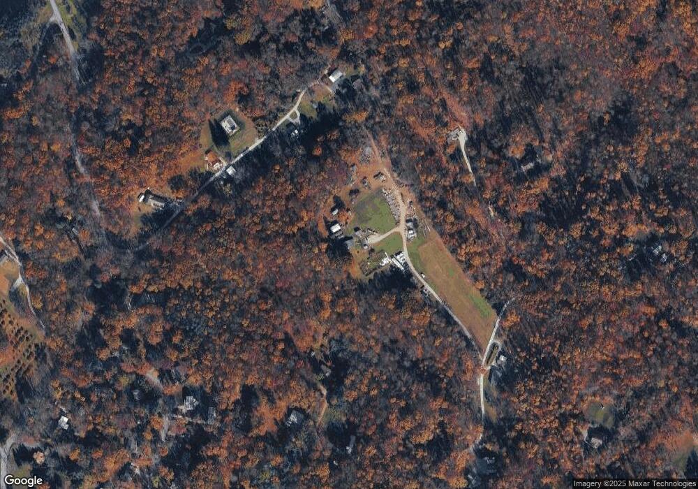
Map
Nearby Homes
- 6691 Harmony Grove Rd
- 3000 Schoolhouse Rd
- 5790 Carlisle Rd
- 6520 Old Carlisle Rd
- 270 S Winding Rd
- 5790 Mountain Rd
- 0 W Camping Area Rd
- 6031 Mountain Rd
- 0 W Canal Rd
- 7765 Harmony Grove Rd
- 2856 W Canal Rd
- 3046 Greenfield Dr
- 138 S Peiffer Rd
- 4049 Clair Mar Dr Unit 13
- Tract #1 Carlisle Rd
- 4160 Leah Ave
- 119 Cedar Dr
- 265 Pine Woods Rd
- 2031 Park St
- 5680 Crone Rd
- 6421 Harmony Grove Rd
- 6421 Harmony Grove Rd Unit D
- 6421 Harmony Grove Rd
- 5604 Fish And Game Rd
- 5602 Fish And Game Rd
- 3171 Sky Top Trail
- 3091 Sky Top Trail
- 6220 Celine Dr
- 5600 Fish And Game Rd
- 5606 Fish And Game Rd
- 6221 Celine Dr
- 3080 Sky Top Trail
- 6417 Harmony Grove Rd
- 5610 Fish And Game Rd
- 6419 Harmony Grove Rd
- 2905 Sky Top Trail
- 5661 Fish And Game Rd
- 3100 Sky Top Trail
- 5605 Fish And Game Rd
- 3151 Sky Top Trail