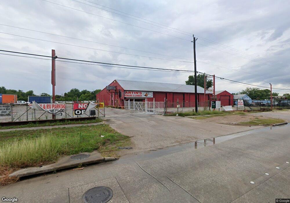
6421 N Shepherd Dr Houston, TX 77091
Acres Homes NeighborhoodEstimated Value: $822,000
--
Bed
--
Bath
--
Sq Ft
0.41
Acres
About This Home
This home is located at 6421 N Shepherd Dr, Houston, TX 77091 and is currently priced at $822,000. 6421 N Shepherd Dr is a home located in Harris County with nearby schools including Wesley Elementary School, Williams Middle, and Booker T Washington Sr High.
Ownership History
Date
Name
Owned For
Owner Type
Purchase Details
Closed on
Nov 29, 2022
Sold by
R & J Partnership
Bought by
Holdings Enterprise Llc
Current Estimated Value
Home Financials for this Owner
Home Financials are based on the most recent Mortgage that was taken out on this home.
Original Mortgage
$1,520,000
Outstanding Balance
$1,474,389
Interest Rate
6.95%
Mortgage Type
New Conventional
Create a Home Valuation Report for This Property
The Home Valuation Report is an in-depth analysis detailing your home's value as well as a comparison with similar homes in the area
Home Values in the Area
Average Home Value in this Area
Purchase History
| Date | Buyer | Sale Price | Title Company |
|---|---|---|---|
| Holdings Enterprise Llc | -- | -- |
Source: Public Records
Mortgage History
| Date | Status | Borrower | Loan Amount |
|---|---|---|---|
| Open | Holdings Enterprise Llc | $1,520,000 |
Source: Public Records
Tax History Compared to Growth
Tax History
| Year | Tax Paid | Tax Assessment Tax Assessment Total Assessment is a certain percentage of the fair market value that is determined by local assessors to be the total taxable value of land and additions on the property. | Land | Improvement |
|---|---|---|---|---|
| 2025 | $13,918 | $665,304 | $665,304 | -- |
| 2024 | $13,918 | $665,184 | $665,184 | -- |
| 2023 | $13,918 | $665,184 | $665,184 | $0 |
| 2022 | $8,544 | $388,024 | $388,024 | $0 |
| 2021 | $7,106 | $304,876 | $304,876 | $0 |
| 2020 | $7,383 | $304,876 | $304,876 | $0 |
| 2019 | $7,715 | $304,876 | $304,876 | $0 |
| 2018 | $7,715 | $304,876 | $304,876 | $0 |
| 2017 | $7,709 | $304,876 | $304,876 | $0 |
| 2016 | $5,762 | $227,876 | $227,876 | $0 |
| 2015 | $5,858 | $227,876 | $227,876 | $0 |
| 2014 | $5,858 | $227,876 | $227,876 | $0 |
Source: Public Records
Map
Nearby Homes
- 6315 N Shepherd Dr
- 609 W Parker Rd
- 778 Pickering St
- 0 Pickering St
- 6610 Morrow St
- 833 Rosie St
- 0 De Priest St Unit 66567963
- 5736 Stuebner Airline Rd
- 0 Lovers Ln Unit 36585920
- 6105 Morrow St
- 0 Brinkman Unit 54849680
- 0 Rosie St
- 6032 Beall St
- 6502 W Montgomery Rd
- 6341 W Montgomery Rd
- 6343 W Montgomery Rd
- 715 W Rittenhouse Rd
- 747 W Rittenhouse Rd
- 6100 Stuebner Airline Rd
- 824 W Rittenhouse St
- 729 Rosie St
- 6502 N Shepherd Dr
- 736 Pickering St
- 731 Rosie St
- 735 Pickering St
- 737 Pickering St
- 732 Rosie St
- 629 W Parker Rd
- 739 Rosie St
- 634 W Parker Rd
- 743 Pickering St
- 750 Pickering St
- 641 Luke St
- 626 W Parker Rd
- 745 Pickering St
- 734 Homer St
- 744 Rosie St
- 634 Pickering St
- 749 Pickering St
- 754 Pickering St