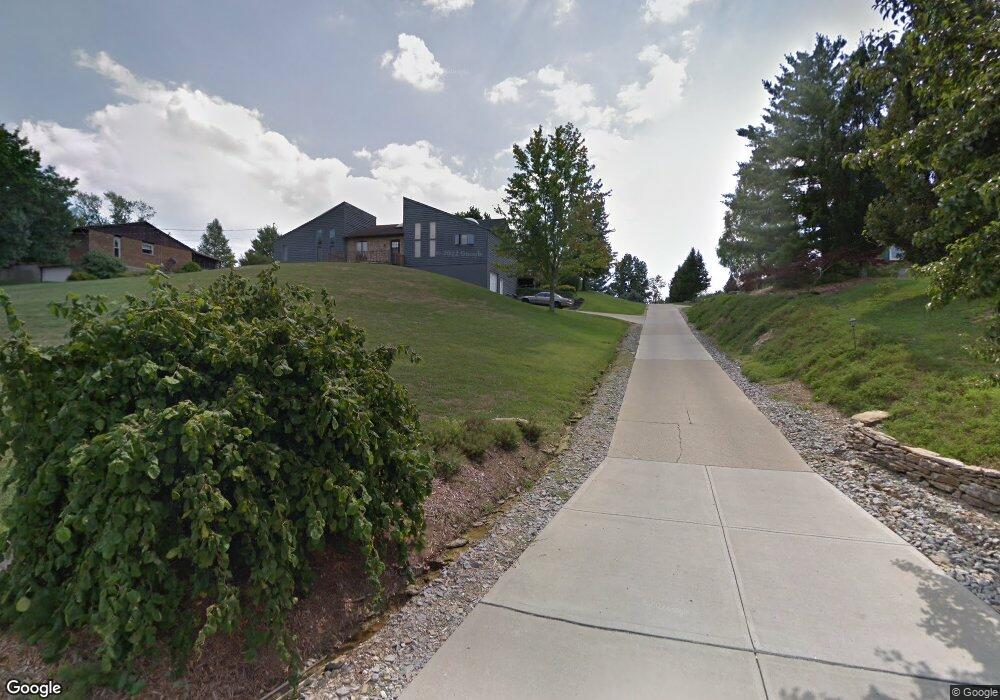
6421 W Fork Rd Cincinnati, OH 45247
Estimated Value: $386,572 - $479,000
3
Beds
2
Baths
2,286
Sq Ft
$186/Sq Ft
Est. Value
About This Home
This home is located at 6421 W Fork Rd, Cincinnati, OH 45247 and is currently estimated at $425,143, approximately $185 per square foot. 6421 W Fork Rd is a home located in Hamilton County with nearby schools including Monfort Heights Elementary School, White Oak Middle School, and Colerain High School.
Create a Home Valuation Report for This Property
The Home Valuation Report is an in-depth analysis detailing your home's value as well as a comparison with similar homes in the area
Home Values in the Area
Average Home Value in this Area
Tax History
| Year | Tax Paid | Tax Assessment Tax Assessment Total Assessment is a certain percentage of the fair market value that is determined by local assessors to be the total taxable value of land and additions on the property. | Land | Improvement |
|---|---|---|---|---|
| 2025 | $6,880 | $126,599 | $27,244 | $99,355 |
| 2024 | $6,741 | $126,599 | $27,244 | $99,355 |
| 2023 | $6,763 | $126,599 | $27,244 | $99,355 |
| 2022 | $6,419 | $98,102 | $28,606 | $69,496 |
| 2021 | $5,897 | $98,102 | $28,606 | $69,496 |
| 2020 | $5,941 | $98,102 | $28,606 | $69,496 |
| 2019 | $6,248 | $93,429 | $27,244 | $66,185 |
| 2018 | $5,566 | $93,429 | $27,244 | $66,185 |
| 2017 | $5,268 | $93,429 | $27,244 | $66,185 |
| 2016 | $5,110 | $89,152 | $26,971 | $62,181 |
| 2015 | $5,149 | $89,152 | $26,971 | $62,181 |
| 2014 | $5,159 | $89,152 | $26,971 | $62,181 |
| 2013 | $4,874 | $90,052 | $27,244 | $62,808 |
Source: Public Records
Map
Nearby Homes
- 6020 Sheed Rd
- 5442 Bluesky Dr
- Site 1 Brierly Creek Rd
- 5473 Michelles Oak Ct
- 6586 Hearne Rd Unit 2T
- 6780 Harrison Ave
- 5207 S Eaglesnest Dr
- 5725 Lofty View Ln Unit 1C
- 5632 Sarahs Oak Dr
- 7007 Boulder Path Dr
- 6617 Hearne Rd
- 5310 Rybolt Rd
- 6646 Hearne Rd
- 6864 Ruwes Oak Dr
- 6289 Eagles Lake Dr
- 6321 Eagles Lake Dr Unit 19
- 6793 Jennifer Lynn Dr
- 6051 Shelrich Ct
- 6384 Conifer Ln
- 5221 Clearlake Dr
Your Personal Tour Guide
Ask me questions while you tour the home.