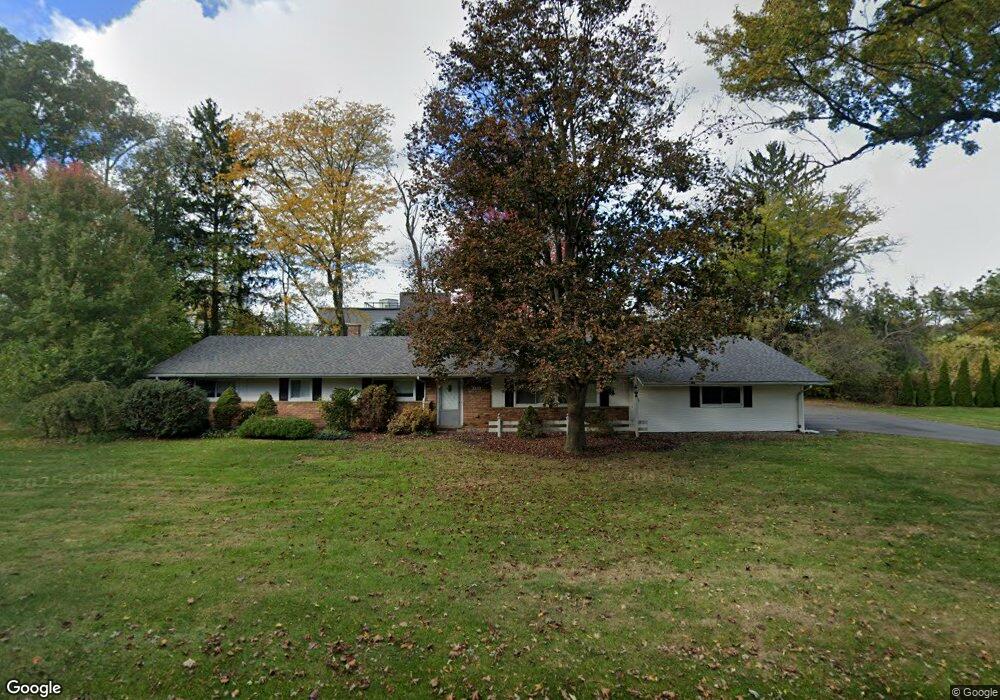
6422 Thorncrest Dr Bloomfield Hills, MI 48301
Estimated Value: $422,000 - $765,000
3
Beds
2
Baths
2,064
Sq Ft
$253/Sq Ft
Est. Value
About This Home
This home is located at 6422 Thorncrest Dr, Bloomfield Hills, MI 48301 and is currently estimated at $522,356, approximately $253 per square foot. 6422 Thorncrest Dr is a home located in Oakland County with nearby schools including Conant Elementary School, South Hills Middle School, and Bloomfield Hills High School.
Ownership History
Date
Name
Owned For
Owner Type
Purchase Details
Closed on
Dec 5, 2019
Sold by
Moilanen John D and Moilanen Cynthia K
Bought by
Paul N Potti Revocable Trust and Potti
Current Estimated Value
Purchase Details
Closed on
Oct 25, 2018
Sold by
Fetter James T and Fetter Sally
Bought by
Fetter James T and Moilanen Cynthia K
Purchase Details
Closed on
Oct 24, 2018
Sold by
Moilanen Cynthia K and James T Fetter Revocable Trust
Bought by
Moilanen John D and Moilanen Cynthia K
Create a Home Valuation Report for This Property
The Home Valuation Report is an in-depth analysis detailing your home's value as well as a comparison with similar homes in the area
Home Values in the Area
Average Home Value in this Area
Purchase History
| Date | Buyer | Sale Price | Title Company |
|---|---|---|---|
| Paul N Potti Revocable Trust | -- | None Listed On Document | |
| Paul N Potti Revocable Trust | $268,540 | None Listed On Document | |
| Paul N Potti Revocable Trust | $268,540 | None Listed On Document | |
| Moilanen John D | -- | None Available | |
| Fetter James T | -- | None Available | |
| Moilanen John D | -- | None Available | |
| Fetter James F | -- | None Available |
Source: Public Records
Tax History Compared to Growth
Tax History
| Year | Tax Paid | Tax Assessment Tax Assessment Total Assessment is a certain percentage of the fair market value that is determined by local assessors to be the total taxable value of land and additions on the property. | Land | Improvement |
|---|---|---|---|---|
| 2024 | $3,537 | $208,230 | $0 | $0 |
| 2023 | $3,423 | $185,510 | $0 | $0 |
| 2022 | $6,433 | $172,390 | $0 | $0 |
| 2021 | $6,769 | $171,690 | $0 | $0 |
| 2020 | $4,734 | $192,670 | $0 | $0 |
| 2019 | $3,975 | $191,760 | $0 | $0 |
| 2018 | $3,993 | $174,220 | $0 | $0 |
| 2017 | $3,965 | $170,630 | $0 | $0 |
| 2016 | $3,972 | $170,420 | $0 | $0 |
| 2015 | -- | $141,690 | $0 | $0 |
| 2014 | -- | $120,060 | $0 | $0 |
| 2011 | -- | $93,030 | $0 | $0 |
Source: Public Records
Map
Nearby Homes
- 6360 Hills Dr
- 6450 Gilbert Lake Rd
- 750 Trailwood Path Unit B
- 450 Billingsgate Ct Unit C
- 1760 Trailwood Path
- 6660 Woodbank Dr
- 4017 Hidden Woods Dr
- 6572 Spruce Dr
- 5741 Snowshoe Cir
- 3880 Oakland Dr
- 6952 Sandalwood Dr
- 5630 S Adams Way
- 5904 Wing Lake Rd
- 7005 Cathedral Dr
- 7200 Telegraph Rd
- 6750 Wing Lake Rd
- 6560 Red Maple Ln
- 6580 Red Maple Ln
- 6940 Wing Lake Rd
- 7357 W Greenwich Dr
- 6386 Thorncrest Dr
- 6458 Thorncrest Dr
- 4035 Blackthorn Ct
- 6385 Thorncrest Dr
- 6362 Thorncrest Dr
- 6494 Thorncrest Dr
- 4028 Blackthorn Ct
- 4025 Blackthorn Ct
- 6493 Thorncrest Dr
- 6361 Thorncrest Dr
- 6330 Thorncrest Dr
- 4011 Blackthorn Ct
- 4024 Blackthorn Ct
- 4076 W Maple Rd
- 6327 Thorncrest Dr
- 6349 Thorncrest Dr
- 4020 Blackthorn Ct
- 6440 Hills Dr
- 6298 Thorncrest Dr
- 4016 Blackthorn Ct