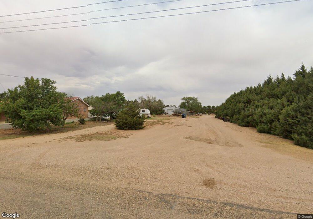
6423 Foster Rd Ropesville, TX 79358
Estimated Value: $332,434
4
Beds
3
Baths
2,836
Sq Ft
$117/Sq Ft
Est. Value
About This Home
This home is located at 6423 Foster Rd, Ropesville, TX 79358 and is currently estimated at $332,434, approximately $117 per square foot. 6423 Foster Rd is a home located in Hockley County with nearby schools including Ropes School.
Ownership History
Date
Name
Owned For
Owner Type
Purchase Details
Closed on
Apr 3, 2018
Sold by
Mccleskey Brandy Criswell and Criswell Billy James
Bought by
Mccleskey Brandy Criswell
Current Estimated Value
Purchase Details
Closed on
Feb 21, 2017
Sold by
Wylie Kaye and Wylie Kay
Bought by
Criswell Billy James and Mccleskey Brandy Criswell
Purchase Details
Closed on
Dec 8, 2006
Sold by
Smith John R and Smith Patsy G
Bought by
Wylie Robert and Wylie Kay
Create a Home Valuation Report for This Property
The Home Valuation Report is an in-depth analysis detailing your home's value as well as a comparison with similar homes in the area
Home Values in the Area
Average Home Value in this Area
Purchase History
| Date | Buyer | Sale Price | Title Company |
|---|---|---|---|
| Mccleskey Brandy Criswell | -- | None Available | |
| Criswell Billy James | -- | None Available | |
| Wylie Robert | -- | -- |
Source: Public Records
Tax History Compared to Growth
Tax History
| Year | Tax Paid | Tax Assessment Tax Assessment Total Assessment is a certain percentage of the fair market value that is determined by local assessors to be the total taxable value of land and additions on the property. | Land | Improvement |
|---|---|---|---|---|
| 2025 | $4,093 | $220,332 | $0 | $0 |
| 2024 | $15,587 | $206,420 | $1,870 | $204,550 |
| 2023 | $3,353 | $193,350 | $1,630 | $191,720 |
| 2022 | $3,565 | $169,540 | $1,630 | $167,910 |
| 2021 | $3,651 | $150,490 | $1,630 | $148,860 |
| 2020 | $3,312 | $145,190 | $1,630 | $143,560 |
| 2019 | $3,472 | $145,190 | $1,630 | $143,560 |
| 2018 | $3,396 | $142,000 | $1,630 | $140,370 |
| 2017 | $3,318 | $136,720 | $1,630 | $135,090 |
| 2016 | $3,189 | $131,420 | $1,630 | $129,790 |
| 2015 | -- | $127,190 | $1,630 | $125,560 |
| 2014 | -- | $121,920 | $1,630 | $120,290 |
Source: Public Records
Map
Nearby Homes
- 0 Starling Circle Lot 16 Unit 202562596
- 0 Starling Circle Lot 17 Unit 202562598
- 0 Starling Circle Lot 18 Unit 202562599
- 0 MacAw Road Lot 24
- 0 Starling Circle Lot 19 Unit 202562600
- 0
- 0 Starling Circle Lot 20 Unit 202562601
- 0 MacAw Road Lot 22
- 6439 Colton Ave
- 6438 Colton Ave
- 6434 Colton Ave
- 6426 Colton Ave
- 6430 Colton Ave
- 3960 Evan St
- 3960 Koby St
- 3968 Evan St
- 3967 Evan St
- 3965 Koby St
- 3964 Koby St
- 3971 Evan St
- 6425 Foster Rd
- 6434 Foster Rd
- 3129 S State Rd
- 1805 S State Rd
- 1780 S State Rd
- 3115 S State Rd 168
- 3159 S State Highway 168
- 6400 Foster Rd
- 6446 Foster Rd
- 6432 Foster Rd
- 0 Starling Circle Lot 16 Unit 202554401
- 3913 Macaw Rd
- 6397 Foster Rd
- 3915 Macaw Rd
- 0 Macaw Rd Unit 202554412
- 0 Macaw Rd Unit 202554413
- 0 Macaw Rd Unit 202554415
- 0 Macaw Rd Unit 202410486
- 0 Macaw Rd Unit 202410485
- 0 Macaw Rd Unit 202410484