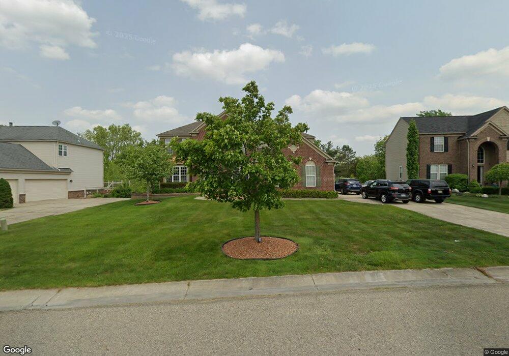
6423 Moonstone Dr Unit Bldg-Unit Grand Blanc, MI 48439
Estimated Value: $502,924 - $533,000
4
Beds
6
Baths
3,172
Sq Ft
$162/Sq Ft
Est. Value
About This Home
This home is located at 6423 Moonstone Dr Unit Bldg-Unit, Grand Blanc, MI 48439 and is currently estimated at $512,481, approximately $161 per square foot. 6423 Moonstone Dr Unit Bldg-Unit is a home located in Genesee County with nearby schools including Indian Hill Elementary School, Grand Blanc East Middle School, and Grand Blanc High School.
Ownership History
Date
Name
Owned For
Owner Type
Purchase Details
Closed on
Dec 27, 2018
Sold by
Setto Loay M
Bought by
Setto Loay M and Trust Of Loay Setto And Ibtisa
Current Estimated Value
Purchase Details
Closed on
Jan 31, 2018
Sold by
Hiser Michael R and Hiser Ann W
Bought by
Setto Loay M
Home Financials for this Owner
Home Financials are based on the most recent Mortgage that was taken out on this home.
Original Mortgage
$250,000
Outstanding Balance
$140,559
Interest Rate
3.94%
Mortgage Type
New Conventional
Estimated Equity
$371,922
Purchase Details
Closed on
Dec 23, 2009
Sold by
Reschak Steven C and Pummill Kimberly A
Bought by
Hiser Michael R
Purchase Details
Closed on
Apr 29, 2004
Sold by
Pulte Land Co Llc
Bought by
Reschak Steven C and Pummill Kimberly A
Create a Home Valuation Report for This Property
The Home Valuation Report is an in-depth analysis detailing your home's value as well as a comparison with similar homes in the area
Home Values in the Area
Average Home Value in this Area
Purchase History
| Date | Buyer | Sale Price | Title Company |
|---|---|---|---|
| Setto Loay M | -- | None Available | |
| Setto Loay M | $323,700 | None Available | |
| Hiser Michael R | $263,000 | Sele | |
| Reschak Steven C | $74,000 | Metropolitan Title Company |
Source: Public Records
Mortgage History
| Date | Status | Borrower | Loan Amount |
|---|---|---|---|
| Open | Setto Loay M | $250,000 |
Source: Public Records
Tax History Compared to Growth
Tax History
| Year | Tax Paid | Tax Assessment Tax Assessment Total Assessment is a certain percentage of the fair market value that is determined by local assessors to be the total taxable value of land and additions on the property. | Land | Improvement |
|---|---|---|---|---|
| 2025 | $8,362 | $216,400 | $0 | $0 |
| 2024 | $5,025 | $203,100 | $0 | $0 |
| 2023 | $4,794 | $223,400 | $0 | $0 |
| 2022 | $7,378 | $193,300 | $0 | $0 |
| 2021 | $7,259 | $185,400 | $0 | $0 |
| 2020 | $4,421 | $180,100 | $0 | $0 |
| 2019 | $4,355 | $170,100 | $0 | $0 |
| 2018 | $6,067 | $170,800 | $0 | $0 |
| 2017 | $5,747 | $180,300 | $0 | $0 |
| 2016 | $5,697 | $174,200 | $0 | $0 |
| 2015 | $5,429 | $173,300 | $0 | $0 |
| 2012 | -- | $137,800 | $137,800 | $0 |
Source: Public Records
Map
Nearby Homes
- 6241 Sapphire Ct Unit 34
- 6296 Moonstone Dr
- 7012 Marigold Ct
- 7014 Marigold Ct
- Integrity 1830 Plan at Meadows at McDonald Farms
- Integrity 1880 Plan at Meadows at McDonald Farms
- 6481 Perry Rd
- 7121 Primrose Ln
- 6284 Westview Dr
- 6363 Amber Ln
- 6361 Samson Dr
- VL Linden
- 7250 Glen View Ln
- VL Perry Rd
- 6068 Hearthside Place
- 11950 Belsay Rd
- 6429 Jamie Ln
- 0074 Youness Dr
- 6358 Windham Place
- 19 Desire Dr
- 6423 Moonstone Dr Unit 9
- 6415 Moonstone Dr Unit 10
- 6431 Moonstone Dr Unit 8
- 6407 Moonstone Dr Unit 11
- 6439 Moonstone Dr Unit 7
- 6422 Moonstone Dr
- 6420 Moonstone Dr Unit 33
- 6395 Moonstone Dr Unit 12
- 6410 Moonstone Dr Unit 32
- 6231 Sapphire Ct Unit 35
- 6408 Tanglewood Ln
- 6447 Moonstone Dr Unit 6
- 6455 Moonstone Dr Unit 5
- 6410 Tanglewood Ln
- 6230 Emerald Dr
- 6385 Moonstone Dr Unit 13
- 6240 Sapphire Ct Unit 49
- 6221 Sapphire Ct Unit 36
- 6396 Tanglewood Ln
- 6230 Sapphire Ct Unit 48