64233 Meadowbrook Rd Joseph, OR 97846
Estimated Value: $754,000 - $941,000
--
Bed
--
Bath
2,472
Sq Ft
$341/Sq Ft
Est. Value
About This Home
This home is located at 64233 Meadowbrook Rd, Joseph, OR 97846 and is currently estimated at $842,200, approximately $340 per square foot. 64233 Meadowbrook Rd is a home with nearby schools including Imnaha Elementary School and Joseph Charter School.
Ownership History
Date
Name
Owned For
Owner Type
Purchase Details
Closed on
Apr 24, 2023
Sold by
Maxwell Mavis N
Bought by
Brink Gregory and Brink Cynthia
Current Estimated Value
Purchase Details
Closed on
Aug 20, 2021
Sold by
Zavodsky Jr Robert R and Barbieri Laurel
Bought by
Heck Raider
Purchase Details
Closed on
Mar 27, 2015
Sold by
Anton Anthony L and Anton Sara C
Bought by
Anton Anthony L and Anton Sara C
Home Financials for this Owner
Home Financials are based on the most recent Mortgage that was taken out on this home.
Original Mortgage
$248,300
Interest Rate
3.65%
Mortgage Type
Credit Line Revolving
Create a Home Valuation Report for This Property
The Home Valuation Report is an in-depth analysis detailing your home's value as well as a comparison with similar homes in the area
Home Values in the Area
Average Home Value in this Area
Purchase History
| Date | Buyer | Sale Price | Title Company |
|---|---|---|---|
| Brink Gregory | $250,000 | Wallowa Title | |
| Heck Raider | $175,000 | Wallowa Title | |
| Anton Anthony L | -- | Wallowa Title Company |
Source: Public Records
Mortgage History
| Date | Status | Borrower | Loan Amount |
|---|---|---|---|
| Previous Owner | Anton Anthony L | $248,300 |
Source: Public Records
Tax History Compared to Growth
Tax History
| Year | Tax Paid | Tax Assessment Tax Assessment Total Assessment is a certain percentage of the fair market value that is determined by local assessors to be the total taxable value of land and additions on the property. | Land | Improvement |
|---|---|---|---|---|
| 2024 | $3,087 | $332,328 | $6,966 | $325,362 |
| 2023 | $2,999 | $322,822 | $6,936 | $315,886 |
| 2022 | $2,913 | $313,593 | $6,907 | $306,686 |
| 2021 | $2,830 | $304,633 | $6,879 | $297,754 |
| 2020 | $2,880 | $295,933 | $6,851 | $289,082 |
| 2019 | $2,802 | $287,322 | $6,659 | $280,663 |
| 2018 | $2,727 | $278,954 | $6,465 | $272,489 |
| 2017 | $2,653 | $270,830 | $6,277 | $264,553 |
| 2016 | $2,582 | $263,058 | $0 | $0 |
| 2015 | $205 | $20,872 | $6,186 | $14,686 |
| 2014 | $200 | $20,287 | $6,028 | $14,259 |
| 2013 | $11 | $1,079 | $1,079 | $0 |
Source: Public Records
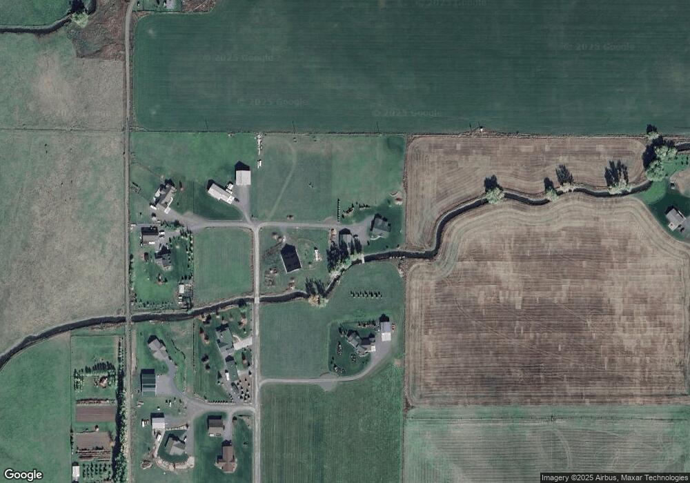
Map
Nearby Homes
- 0 E Daggett St
- 104 N College St
- 82757 Joseph Hwy
- 0 S Main St Unit 277237767
- 710 N Mill St
- 0 5th St Unit 693144809
- 0 E Fifth St Unit 768527417
- 502 S East St
- 80134 Countryside Rd
- 204 N Russell St
- 0 Hwy 82 Main St Unit 484046347
- 802 Engleside Ave
- 100 W 10th St
- 0 Russell Ln Unit 761772670
- 63677 Woodland Dr
- 63677 Woodland Ln
- 0 Chief Joseph Loop Rd
- 0 Lake Shore Rd Unit 149390254
- 61384 Old Ski Run Rd
- 82952 Eggleson Ln
- 64091 Meadowbrook Rd
- 0 Meadow Brook Unit P3 15497976
- 0 Meadow Brook Unit 8 15248951
- 0 Meadow Brook Unit 10 15164436
- 0 Meadow Brook Unit 2 15345822
- 0 Meadow Brook Unit 1109 16552474
- 0 Meadow Brook Unit 1101 16452991
- 0 Meadow Brook Unit 1115 16267589
- 0 Meadow Brook Unit 1108 16198869
- 0 Meadow Brook Unit 1110 16174565
- 0 Meadow Brook Unit 1102 16167460
- 0 Meadow Brook Unit 17468035
- 64222 Meadowbrook Rd
- 64152 Meadowbrook Rd
- 0 Meadowbrook Estate Unit 15638793
- 0 Meadowbrook Estate Unit 9 15001604
- 0 Meadowbrook Estate Unit 5 16307854
- 64200 Meadowbrook Rd
- 64132 Meadowbrook Rd
- 64128 Meadowbrook Rd