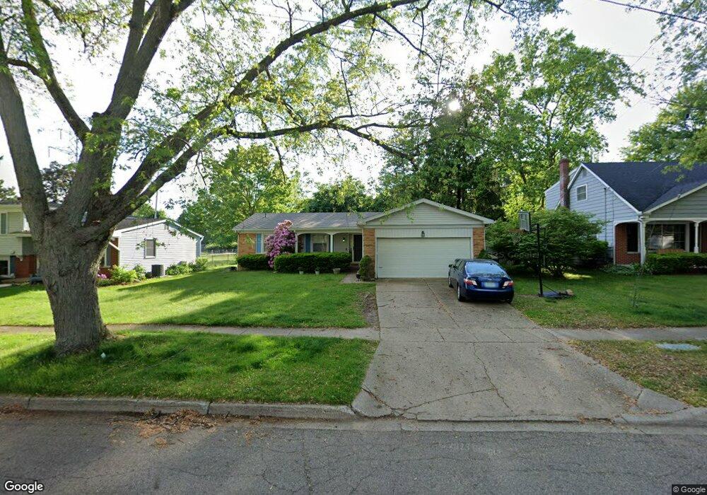
6424 Hampton St Portage, MI 49024
Estimated Value: $263,772 - $279,000
3
Beds
2
Baths
1,370
Sq Ft
$199/Sq Ft
Est. Value
About This Home
This home is located at 6424 Hampton St, Portage, MI 49024 and is currently estimated at $272,193, approximately $198 per square foot. 6424 Hampton St is a home located in Kalamazoo County with nearby schools including Haverhill Elementary School, Portage North Middle School, and Portage Northern High School.
Ownership History
Date
Name
Owned For
Owner Type
Purchase Details
Closed on
Feb 21, 2011
Sold by
Gould Megan and Gould Theodore
Bought by
Gould Megan and Gould Theodore
Current Estimated Value
Home Financials for this Owner
Home Financials are based on the most recent Mortgage that was taken out on this home.
Original Mortgage
$125,644
Outstanding Balance
$85,853
Interest Rate
4.75%
Mortgage Type
FHA
Estimated Equity
$186,340
Purchase Details
Closed on
Sep 18, 2008
Sold by
Valentine Sharon L
Bought by
Kraft Megan and Gould Theodore
Create a Home Valuation Report for This Property
The Home Valuation Report is an in-depth analysis detailing your home's value as well as a comparison with similar homes in the area
Home Values in the Area
Average Home Value in this Area
Purchase History
| Date | Buyer | Sale Price | Title Company |
|---|---|---|---|
| Gould Megan | -- | Chicago Title Company | |
| Kraft Megan | $129,000 | Metro |
Source: Public Records
Mortgage History
| Date | Status | Borrower | Loan Amount |
|---|---|---|---|
| Open | Gould Megan | $125,644 |
Source: Public Records
Tax History Compared to Growth
Tax History
| Year | Tax Paid | Tax Assessment Tax Assessment Total Assessment is a certain percentage of the fair market value that is determined by local assessors to be the total taxable value of land and additions on the property. | Land | Improvement |
|---|---|---|---|---|
| 2025 | $3,313 | $113,800 | $0 | $0 |
| 2024 | $2,917 | $112,200 | $0 | $0 |
| 2023 | $2,780 | $100,100 | $0 | $0 |
| 2022 | $3,004 | $88,300 | $0 | $0 |
| 2021 | $2,904 | $79,900 | $0 | $0 |
| 2020 | $2,840 | $74,600 | $0 | $0 |
| 2019 | $256 | $71,400 | $0 | $0 |
| 2018 | $0 | $67,900 | $0 | $0 |
| 2017 | $0 | $66,900 | $0 | $0 |
| 2016 | -- | $66,100 | $0 | $0 |
| 2015 | -- | $61,100 | $0 | $0 |
| 2014 | -- | $58,400 | $0 | $0 |
Source: Public Records
Map
Nearby Homes
- 1922 Brighton Ln Unit 31
- 1998 Brighton Ln Unit 16
- 2029 Brighton Ln Unit 7
- 6238 Hampton St
- 6514 Marlow St
- 6235 Oakland Dr
- 6303 Surrey St
- 1332 Sussex St
- 6803 Fescue St
- 6803 Bluegrass St
- 6745 Oakland Dr
- 6325 Avon St
- 6051 Bradford St
- 2408 Kalarama Ave
- 6048 Marlow St
- 6827 Marlow St
- 6636 Trotwood St
- 1710 Greenview Ave
- 6439 Cypress St
- 6748 Trotwood St
- 6430 Hampton St
- 6418 Hampton St
- 6412 Hampton St
- 6436 Hampton St
- 6423 Hampton St
- 6429 Hampton St
- 6417 Hampton St
- 6350 Hampton St
- 6442 Hampton St
- 6437 Hampton St
- 6411 Hampton St
- 6448 Hampton St
- 6344 Hampton St
- 6349 Hampton St
- 1709 Henley Ave
- 1716 Edington St
- 1710 Henley Ave
- 6343 Hampton St
- 6504 Hampton St
- 6338 Hampton St