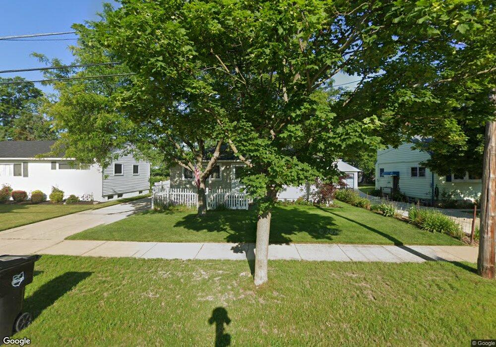
6424 Hio Dr Brookpark, OH 44142
Estimated Value: $174,000 - $248,000
3
Beds
2
Baths
988
Sq Ft
$212/Sq Ft
Est. Value
About This Home
This home is located at 6424 Hio Dr, Brookpark, OH 44142 and is currently estimated at $209,280, approximately $211 per square foot. 6424 Hio Dr is a home located in Cuyahoga County with nearby schools including Berea-Midpark Middle School, Berea-Midpark High School, and The Academy of St. Bartholomew.
Ownership History
Date
Name
Owned For
Owner Type
Purchase Details
Closed on
Nov 12, 2020
Sold by
Scullion Brian A
Bought by
Scullion Mark A and Scullion Sheila A
Current Estimated Value
Home Financials for this Owner
Home Financials are based on the most recent Mortgage that was taken out on this home.
Original Mortgage
$80,500
Interest Rate
2.8%
Mortgage Type
Unknown
Purchase Details
Closed on
Dec 10, 2008
Sold by
Oneil Hugh T
Bought by
Scullion Brian
Home Financials for this Owner
Home Financials are based on the most recent Mortgage that was taken out on this home.
Original Mortgage
$92,000
Interest Rate
6.3%
Mortgage Type
Purchase Money Mortgage
Purchase Details
Closed on
Jan 13, 1984
Sold by
Neil Paul O and Neil Mary
Bought by
Oneil Paul
Purchase Details
Closed on
Jan 1, 1975
Bought by
Neil Paul O and Neil Mary
Create a Home Valuation Report for This Property
The Home Valuation Report is an in-depth analysis detailing your home's value as well as a comparison with similar homes in the area
Home Values in the Area
Average Home Value in this Area
Purchase History
| Date | Buyer | Sale Price | Title Company |
|---|---|---|---|
| Scullion Mark A | $115,000 | Midland Title Agency | |
| Scullion Brian | $115,000 | Surety Title Agency Inc | |
| Oneil Paul | -- | -- | |
| Neil Paul O | -- | -- |
Source: Public Records
Mortgage History
| Date | Status | Borrower | Loan Amount |
|---|---|---|---|
| Previous Owner | Scullion Mark A | $80,500 | |
| Previous Owner | Scullion Brian | $92,000 |
Source: Public Records
Tax History Compared to Growth
Tax History
| Year | Tax Paid | Tax Assessment Tax Assessment Total Assessment is a certain percentage of the fair market value that is determined by local assessors to be the total taxable value of land and additions on the property. | Land | Improvement |
|---|---|---|---|---|
| 2024 | $2,526 | $50,085 | $12,075 | $38,010 |
| 2023 | $2,996 | $49,180 | $10,400 | $38,780 |
| 2022 | $2,974 | $49,180 | $10,400 | $38,780 |
| 2021 | $2,957 | $49,180 | $10,400 | $38,780 |
| 2020 | $2,666 | $39,030 | $8,260 | $30,770 |
| 2019 | $2,587 | $111,500 | $23,600 | $87,900 |
| 2018 | $1,288 | $39,030 | $8,260 | $30,770 |
| 2017 | $2,537 | $35,500 | $7,110 | $28,390 |
| 2016 | $2,516 | $35,500 | $7,110 | $28,390 |
| 2015 | $2,484 | $35,500 | $7,110 | $28,390 |
| 2014 | $2,484 | $37,350 | $7,490 | $29,860 |
Source: Public Records
Map
Nearby Homes
- 6409 Scott Dr
- 6401 Scott Dr
- 6465 Claudia Dr
- 18009 Kalvin Dr
- 6421 Sylvia Dr
- 6366 Sandhurst Dr
- 6728 Benedict Dr
- 6740 Benedict Dr
- 6755 Benedict Dr
- 5977 Glenway Dr Unit B
- 5966 Engle Rd
- 6054 Langer Dr
- 6748 Benedict Dr
- 6744 Benedict Dr
- 6720 Benedict Dr
- 6724 Benedict Dr
- 16310 Richard Dr
- 16259 Emerald Point Unit 16259
- 16761 Orchard Grove Dr Unit 6808A
- 16051 Holland Rd