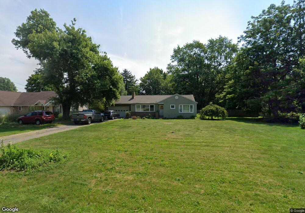
6425 Lieb Dr Clinton, OH 44216
Estimated Value: $200,000 - $259,000
4
Beds
1
Bath
1,306
Sq Ft
$177/Sq Ft
Est. Value
About This Home
This home is located at 6425 Lieb Dr, Clinton, OH 44216 and is currently estimated at $231,093, approximately $176 per square foot. 6425 Lieb Dr is a home located in Summit County with nearby schools including St. Francis de Sales School.
Ownership History
Date
Name
Owned For
Owner Type
Purchase Details
Closed on
Mar 28, 2006
Sold by
Federal Home Loan Mortgage Corporation
Bought by
Davis Stephanie M
Current Estimated Value
Home Financials for this Owner
Home Financials are based on the most recent Mortgage that was taken out on this home.
Original Mortgage
$71,000
Outstanding Balance
$40,754
Interest Rate
6.34%
Mortgage Type
Fannie Mae Freddie Mac
Estimated Equity
$190,339
Purchase Details
Closed on
Jan 24, 2006
Sold by
Timms Roger P
Bought by
Federal Home Loan Mortgage Corporation
Create a Home Valuation Report for This Property
The Home Valuation Report is an in-depth analysis detailing your home's value as well as a comparison with similar homes in the area
Home Values in the Area
Average Home Value in this Area
Purchase History
| Date | Buyer | Sale Price | Title Company |
|---|---|---|---|
| Davis Stephanie M | -- | None Available | |
| Federal Home Loan Mortgage Corporation | $84,958 | None Available |
Source: Public Records
Mortgage History
| Date | Status | Borrower | Loan Amount |
|---|---|---|---|
| Open | Davis Stephanie M | $71,000 |
Source: Public Records
Tax History Compared to Growth
Tax History
| Year | Tax Paid | Tax Assessment Tax Assessment Total Assessment is a certain percentage of the fair market value that is determined by local assessors to be the total taxable value of land and additions on the property. | Land | Improvement |
|---|---|---|---|---|
| 2025 | $3,143 | $62,301 | $14,557 | $47,744 |
| 2024 | $3,143 | $62,301 | $14,557 | $47,744 |
| 2023 | $3,143 | $62,301 | $14,557 | $47,744 |
| 2022 | $3,047 | $47,559 | $11,113 | $36,446 |
| 2021 | $3,058 | $47,559 | $11,113 | $36,446 |
| 2020 | $3,005 | $47,560 | $11,110 | $36,450 |
| 2019 | $2,740 | $38,850 | $11,790 | $27,060 |
| 2018 | $2,364 | $38,850 | $11,790 | $27,060 |
| 2017 | $2,364 | $38,850 | $11,790 | $27,060 |
| 2016 | $2,336 | $35,210 | $11,790 | $23,420 |
| 2015 | $2,364 | $35,210 | $11,790 | $23,420 |
| 2014 | $2,346 | $35,210 | $11,790 | $23,420 |
| 2013 | $2,333 | $35,210 | $11,790 | $23,420 |
Source: Public Records
Map
Nearby Homes
- 6387 Hampsher Rd
- 1062 Stump Rd
- 6090 Manchester Rd Unit 6096
- 899 Loway Dr
- 5776 Harter Home Dr
- 781 Leeman Dr
- 715 Highland Park Dr
- 6407 Southview Dr
- 451 Yager Rd
- 5892 Woodward Dr
- 5983 Weaver Rd
- 7060 Manchester Rd
- 0 W Comet Rd Unit 5079117
- 8714 Greenmeadow Ave NW
- 2200 W Comet Rd
- 427 Center Rd
- 0 Babst Ave NW
- 11391 Michelle Dr NW
- 8177 S Cleveland Massillon Rd Unit 16
- 8177 S Cleveland Massillon Rd Unit 42
- 6411 Lieb Dr
- 1361 W Nimisila Rd
- W Nimisila Rd
- 6356 Highland Terrace
- 6336 Highland Terrace
- 6422 Lieb Dr
- 6432 Lieb Dr
- 6390 Highland Terrace
- 6402 Lieb Dr
- 6448 Lieb Dr
- 6363 Highland Terrace
- 6392 Lieb Dr
- 6353 Highland Terrace
- 1352 W Nimisila Rd
- 1348 W Nimisila Rd
- 1326 W Nimisila Rd
- 6377 Highland Terrace
- 6343 Highland Terrace
- 6329 Highland Terrace
- 1366 W Nimisila Rd