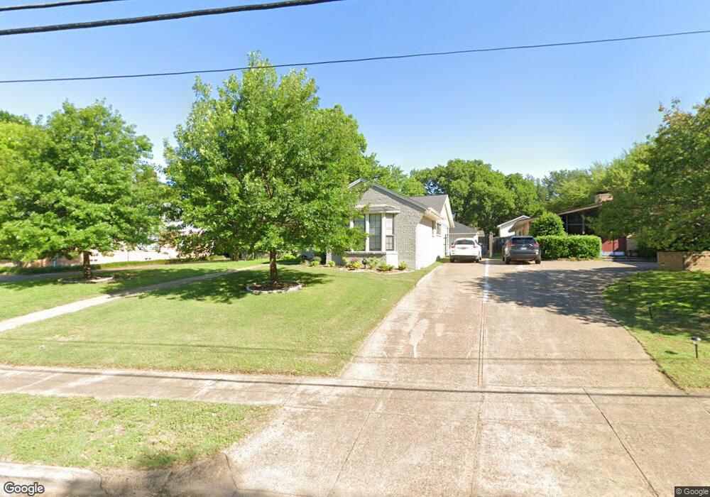
6425 Patrick Dr Dallas, TX 75214
Northeast Dallas NeighborhoodEstimated Value: $807,223 - $840,000
4
Beds
3
Baths
1,960
Sq Ft
$421/Sq Ft
Est. Value
About This Home
This home is located at 6425 Patrick Dr, Dallas, TX 75214 and is currently estimated at $824,556, approximately $420 per square foot. 6425 Patrick Dr is a home located in Dallas County with nearby schools including Lakewood Elementary School, J L Long Middle School, and Woodrow Wilson High School.
Ownership History
Date
Name
Owned For
Owner Type
Purchase Details
Closed on
Feb 19, 2020
Sold by
201903Wy 25 Llc
Bought by
Zaslawsky Joshua Lowell and Zaslawsky Emily Mcgee
Current Estimated Value
Home Financials for this Owner
Home Financials are based on the most recent Mortgage that was taken out on this home.
Original Mortgage
$510,000
Outstanding Balance
$451,569
Interest Rate
3.6%
Mortgage Type
New Conventional
Estimated Equity
$372,987
Purchase Details
Closed on
Nov 15, 2001
Sold by
Chapa William
Bought by
Norris Virginia M
Purchase Details
Closed on
Nov 22, 1996
Sold by
Cadenhead Cheryl M and Cook Marguerite H
Bought by
Chapa William and Norris Virginia M
Home Financials for this Owner
Home Financials are based on the most recent Mortgage that was taken out on this home.
Original Mortgage
$102,300
Interest Rate
7.85%
Mortgage Type
FHA
Create a Home Valuation Report for This Property
The Home Valuation Report is an in-depth analysis detailing your home's value as well as a comparison with similar homes in the area
Home Values in the Area
Average Home Value in this Area
Purchase History
| Date | Buyer | Sale Price | Title Company |
|---|---|---|---|
| Zaslawsky Joshua Lowell | -- | Rtt | |
| Norris Virginia M | -- | -- | |
| Chapa William | -- | -- |
Source: Public Records
Mortgage History
| Date | Status | Borrower | Loan Amount |
|---|---|---|---|
| Open | Zaslawsky Joshua Lowell | $510,000 | |
| Previous Owner | Chapa William | $102,300 |
Source: Public Records
Tax History Compared to Growth
Tax History
| Year | Tax Paid | Tax Assessment Tax Assessment Total Assessment is a certain percentage of the fair market value that is determined by local assessors to be the total taxable value of land and additions on the property. | Land | Improvement |
|---|---|---|---|---|
| 2025 | $10,899 | $830,550 | $479,490 | $351,060 |
| 2024 | $10,899 | $671,560 | $240,000 | $431,560 |
| 2023 | $10,899 | $572,870 | $240,000 | $332,870 |
| 2022 | $14,324 | $572,870 | $240,000 | $332,870 |
| 2021 | $14,245 | $540,000 | $160,000 | $380,000 |
| 2020 | $14,650 | $540,000 | $160,000 | $380,000 |
| 2019 | $12,204 | $428,930 | $160,000 | $268,930 |
| 2018 | $9,078 | $333,850 | $160,000 | $173,850 |
| 2017 | $7,631 | $280,620 | $160,000 | $120,620 |
| 2016 | $7,631 | $280,620 | $160,000 | $120,620 |
| 2015 | $3,452 | $247,220 | $90,000 | $157,220 |
| 2014 | $3,452 | $239,730 | $90,000 | $149,730 |
Source: Public Records
Map
Nearby Homes
- 6446 Lange Cir
- 6459 Trammel Dr
- 6415 Axton Ln
- 6537 Patrick Dr
- 6269 Saratoga Cir
- 6305 Annapolis Ln
- 6529 Trammel Dr
- 6527 Axton Cir
- 6231 Berwyn Ln
- 6314 Woodcrest Ln
- 6474 Sudbury Dr
- 6431 Dunstan Ln
- 6222 E University Blvd
- 6529 Saint Moritz Ave
- 6349 Highgate Ln
- 6711 Vada Dr
- 4323 Ashford Dr
- 6350 Glennox Ln
- 6644 Santa Anita Dr
- 6720 Braeburn Dr
- 6431 Patrick Dr
- 6421 Patrick Dr
- 6435 Patrick Dr
- 6441 Patrick Dr
- 6411 Patrick Dr
- 6424 Patrick Dr
- 6430 Patrick Dr
- 6436 Patrick Dr
- 6445 Patrick Dr
- 6405 Patrick Dr
- 6440 Patrick Dr
- 6412 Patrick Dr
- 6451 Patrick Dr
- 6446 Patrick Dr
- 6416 Patrick Dr
- 6450 Patrick Dr
- 6404 Patrick Dr
- 6408 Patrick Dr
- 6452 Trammel Dr
- 6456 Patrick Dr