6425 S Fm 113 Millsap, TX 76066
Estimated Value: $425,206 - $746,000
--
Bed
--
Bath
2,244
Sq Ft
$245/Sq Ft
Est. Value
About This Home
This home is located at 6425 S Fm 113, Millsap, TX 76066 and is currently estimated at $549,302, approximately $244 per square foot. 6425 S Fm 113 is a home located in Parker County with nearby schools including Millsap Elementary School, Millsap Middle School, and Millsap High School.
Ownership History
Date
Name
Owned For
Owner Type
Purchase Details
Closed on
Oct 9, 2013
Sold by
Foster Sherry Lynn and Harrison Effie Mae Russell
Bought by
Dugger Harold and Dugger Elizabeth
Current Estimated Value
Home Financials for this Owner
Home Financials are based on the most recent Mortgage that was taken out on this home.
Original Mortgage
$57,600
Interest Rate
4.49%
Mortgage Type
Seller Take Back
Purchase Details
Closed on
Aug 28, 2012
Sold by
Burchette Tracy
Bought by
Burchette Tracy and Burchette Brady
Purchase Details
Closed on
Apr 2, 2008
Sold by
Harris Roger and Yoes Leesa
Bought by
Burchette Tracy
Create a Home Valuation Report for This Property
The Home Valuation Report is an in-depth analysis detailing your home's value as well as a comparison with similar homes in the area
Home Values in the Area
Average Home Value in this Area
Purchase History
| Date | Buyer | Sale Price | Title Company |
|---|---|---|---|
| Dugger Harold | -- | None Available | |
| Burchette Tracy | -- | None Available | |
| Burchette Tracy | -- | None Available |
Source: Public Records
Mortgage History
| Date | Status | Borrower | Loan Amount |
|---|---|---|---|
| Previous Owner | Dugger Harold | $57,600 |
Source: Public Records
Tax History Compared to Growth
Tax History
| Year | Tax Paid | Tax Assessment Tax Assessment Total Assessment is a certain percentage of the fair market value that is determined by local assessors to be the total taxable value of land and additions on the property. | Land | Improvement |
|---|---|---|---|---|
| 2025 | $2,581 | $418,430 | -- | -- |
| 2024 | $2,581 | $380,391 | -- | -- |
| 2023 | $2,581 | $345,810 | $0 | $0 |
| 2022 | $5,965 | $314,380 | $40,000 | $274,380 |
| 2021 | $6,541 | $314,380 | $40,000 | $274,380 |
| 2020 | $6,158 | $286,230 | $25,000 | $261,230 |
| 2019 | $6,198 | $286,230 | $25,000 | $261,230 |
| 2018 | $5,698 | $244,240 | $10,000 | $234,240 |
| 2017 | $5,493 | $244,240 | $10,000 | $234,240 |
| 2016 | $4,994 | $206,740 | $10,000 | $196,740 |
| 2015 | $4,048 | $206,740 | $10,000 | $196,740 |
| 2014 | $4,094 | $190,130 | $10,000 | $180,130 |
Source: Public Records
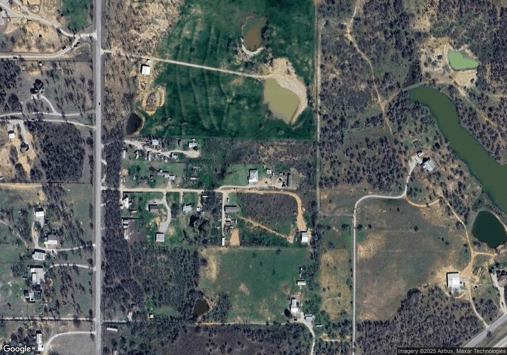
Map
Nearby Homes
- 6427 S Fm Rd 113
- 5288 Bennett Rd
- 4962 S Fm 113
- 1350 Stephens Rd
- TBD Consolation
- 251 Tumbleweed Ct
- 711 Brannon Bridge Cir
- 2350 Grindstone Rd
- 101 Consolation Dr
- TBD Wolf Hollow
- 940 Brazos Rock Rd
- 555 Sunset Trail
- 430 Rio Rd
- Farm To Market 113
- 3499 S Fm 113
- XXXX Wolf Hollow
- 7530 W Interstate 20
- TBD B Consolation Dr
- TBD A Consolation Dr
- 3810 Fairview Rd
- 6417 S Fm 113
- 6419 S Fm 113
- 6421 S Fm 113
- 6401 S Fm 113
- 6423 S Fm 113
- 6413 S Fm 113
- 6251 S Fm 113
- 6393 S Fm 113
- 6415 S Fm 113
- 6409 S Fm 113
- 8850 W Interstate 20
- 6427 S Fm 113
- 8758 W Interstate 20
- 6611 S Fm 113
- 6117 S Fm 113
- 6627 S Fm 113
- 6424 S Fm 113
- 8800 Interstate 20
- 6250 S Fm 113
- 8744 W Interstate 20