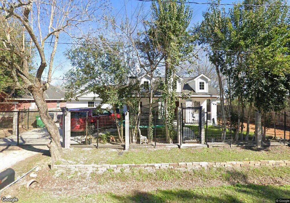
6426 Anderson Rd Houston, TX 77085
Fort Bend Houston NeighborhoodEstimated Value: $139,341 - $227,000
1
Bed
1
Bath
880
Sq Ft
$210/Sq Ft
Est. Value
About This Home
This home is located at 6426 Anderson Rd, Houston, TX 77085 and is currently estimated at $184,835, approximately $210 per square foot. 6426 Anderson Rd is a home located in Fort Bend County with nearby schools including Briargate Elementary School, Blue Ridge Elementary School, and Christa McAuliffe Middle School.
Ownership History
Date
Name
Owned For
Owner Type
Purchase Details
Closed on
Oct 7, 2007
Sold by
Perez Jesus and Perez Alicia B
Bought by
Espinoza Juan Manuel and Silvia Barrera
Current Estimated Value
Purchase Details
Closed on
Sep 6, 2007
Sold by
Perez Jesus and Perez Alicia B
Bought by
Espinoza Juan Manuel and Espinoza Silvia Barrera
Purchase Details
Closed on
Jul 9, 1993
Sold by
Dallmann Thomas S
Bought by
Espinoza Juan Manuel and Silvia Barrera
Purchase Details
Closed on
Sep 4, 1991
Sold by
Pope Joe W
Bought by
Espinoza Juan Manuel and Silvia Barrera
Create a Home Valuation Report for This Property
The Home Valuation Report is an in-depth analysis detailing your home's value as well as a comparison with similar homes in the area
Home Values in the Area
Average Home Value in this Area
Purchase History
| Date | Buyer | Sale Price | Title Company |
|---|---|---|---|
| Espinoza Juan Manuel | -- | -- | |
| Espinoza Juan Manuel | -- | None Available | |
| Espinoza Juan Manuel | -- | -- | |
| Espinoza Juan Manuel | -- | -- |
Source: Public Records
Tax History Compared to Growth
Tax History
| Year | Tax Paid | Tax Assessment Tax Assessment Total Assessment is a certain percentage of the fair market value that is determined by local assessors to be the total taxable value of land and additions on the property. | Land | Improvement |
|---|---|---|---|---|
| 2025 | $2,383 | $119,727 | $54,600 | $65,127 |
| 2024 | $2,383 | $123,592 | $54,600 | $68,992 |
| 2023 | $2,169 | $111,391 | $42,000 | $69,391 |
| 2022 | $2,113 | $99,680 | $42,000 | $57,680 |
| 2021 | $2,121 | $95,820 | $42,000 | $53,820 |
| 2020 | $1,994 | $88,410 | $42,000 | $46,410 |
| 2019 | $2,053 | $86,520 | $40,000 | $46,520 |
| 2018 | $1,750 | $73,730 | $30,000 | $43,730 |
| 2017 | $1,536 | $63,970 | $30,000 | $33,970 |
| 2016 | $1,157 | $48,190 | $14,000 | $34,190 |
| 2015 | $904 | $49,510 | $14,000 | $35,510 |
| 2014 | $908 | $49,470 | $14,000 | $35,470 |
Source: Public Records
Map
Nearby Homes
- 0 Brooklawn Dr Unit 98139376
- 6626 Roberson St
- 6619 Indian Lake Dr
- 15615 Raven Trail
- 15610 Briar Spring Ct
- 15318 Corsair Rd
- 6618 Castleview Ln
- 6721 Whitton Dr
- 6734 Indian Lake Dr
- 6101 Maywood Dr
- 15806 Corsair Rd
- 15734 Briargate Ct
- 6814 Indian Falls Dr
- 6911 Briargate Dr
- 14704 O Hara Dr Unit A/B
- 15770 Chimney Rock Rd
- 15043 Four Winds Dr
- 6918 Thornwild Rd
- 0 Brookfield Dr Unit 4968962
- 15823 Kueben Ln
- 6430 Anderson Rd
- 6418 Anderson Rd
- 6448 Anderson Rd
- 6503 Anderson Rd
- 6417 Anderson Rd
- 6417 Anderson Rd
- 6426 W Bend St
- 6430 W Bend St
- 6422 W Bend St
- 6326 W Bend St
- 6507 Anderson Rd
- 6502 W Bend St
- 6418 W Bend St
- 6511 Anderson Rd
- 6413 Anderson Rd
- 6515 Anderson Rd
- 6406/6406A Anderson Rd
- 6502 Anderson Rd
- 6308 Anderson Rd
- 6410 W Bend St