6427 Sheppard Dr Westland, MI 48185
Estimated Value: $262,000 - $321,000
3
Beds
2
Baths
1,603
Sq Ft
$176/Sq Ft
Est. Value
About This Home
This home is located at 6427 Sheppard Dr, Westland, MI 48185 and is currently estimated at $282,256, approximately $176 per square foot. 6427 Sheppard Dr is a home located in Wayne County with nearby schools including P.D. Graham Elementary School, Marshall Upper Elementary School, and Adlai Stevenson Middle School.
Ownership History
Date
Name
Owned For
Owner Type
Purchase Details
Closed on
May 30, 2025
Sold by
Harris Mary Ann and Revocable Living Trust Of Michael F Harr
Bought by
Harris Mary Ann and Harris Eileen
Current Estimated Value
Purchase Details
Closed on
Oct 25, 2023
Sold by
Harris Michael F
Bought by
Revocable Living Trust and Harris
Purchase Details
Closed on
Aug 6, 1999
Create a Home Valuation Report for This Property
The Home Valuation Report is an in-depth analysis detailing your home's value as well as a comparison with similar homes in the area
Home Values in the Area
Average Home Value in this Area
Purchase History
| Date | Buyer | Sale Price | Title Company |
|---|---|---|---|
| Harris Mary Ann | -- | None Listed On Document | |
| Revocable Living Trust | -- | Michigan Land Title | |
| Revocable Living Trust | -- | Michigan Land Title | |
| -- | $292,656 | -- |
Source: Public Records
Tax History Compared to Growth
Tax History
| Year | Tax Paid | Tax Assessment Tax Assessment Total Assessment is a certain percentage of the fair market value that is determined by local assessors to be the total taxable value of land and additions on the property. | Land | Improvement |
|---|---|---|---|---|
| 2025 | $2,433 | $131,100 | $0 | $0 |
| 2024 | $2,433 | $119,800 | $0 | $0 |
| 2023 | $2,323 | $109,400 | $0 | $0 |
| 2022 | $2,636 | $93,600 | $0 | $0 |
| 2021 | $2,570 | $89,800 | $0 | $0 |
| 2020 | $2,541 | $86,200 | $0 | $0 |
| 2019 | $2,450 | $82,300 | $0 | $0 |
| 2018 | $1,911 | $77,200 | $0 | $0 |
| 2017 | $779 | $70,400 | $0 | $0 |
| 2016 | $2,377 | $69,800 | $0 | $0 |
| 2015 | $4,731 | $61,160 | $0 | $0 |
| 2013 | $4,583 | $48,040 | $0 | $0 |
| 2012 | $2,335 | $50,810 | $0 | $0 |
Source: Public Records
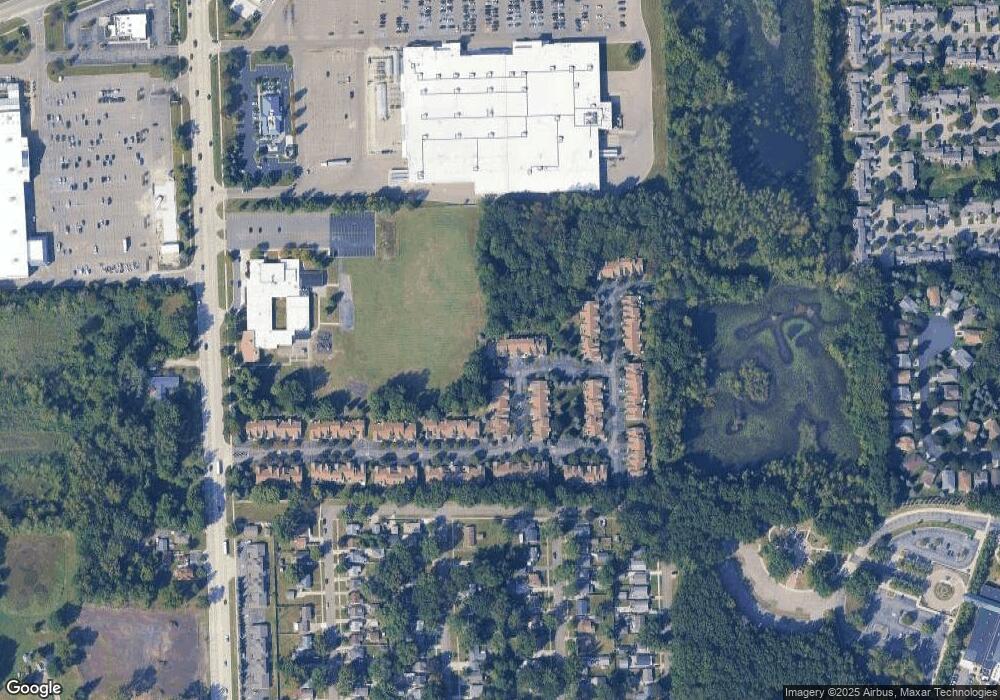
Map
Nearby Homes
- 6541 Pembrook Dr
- 37186 Amhurst Dr Unit 5
- 6026 Wilmer St
- 0 Dowling Ave
- 6013 N Newburgh Rd
- 5889 N Globe St
- 5834 Morley St
- 5692 N Globe St
- 35863 Hunter Ave Unit 34
- 35754 Castlewood Ct
- 35737 Hunter Ave
- 6546 Quail Run Cir
- 7330 Woodview St Unit 2
- 35601 Pheasant Ln
- 35833 Ford Rd
- 38201 Carolon Blvd Unit 17B
- 38066 Sherwood St
- 38247 Carolon Blvd Unit 12C
- 38030 Greenwood St
- 7370 Woodview St Unit 3
- 6379 Sheppard Dr
- 6391 Sheppard Dr
- 6372 Sheppard Dr
- 6384 Sheppard Dr
- 6403 Sheppard Dr
- 6396 Sheppard Dr
- 6355 Sheppard Dr
- 6408 Sheppard Dr
- 6360 Sheppard Dr
- 6439 Sheppard Dr
- 6451 Sheppard Dr Unit 85
- 6433 Pembrook Dr Unit 71
- 6517 Pembrook Dr
- 6529 Pembrook Dr
- 6463 Sheppard Dr
- 6457 Pembrook Dr
- 6457 Pembrook Dr Unit 69
- 6469 Pembrook Dr
- 6445 Pembrook Dr
- 6475 Sheppard Dr Unit 83