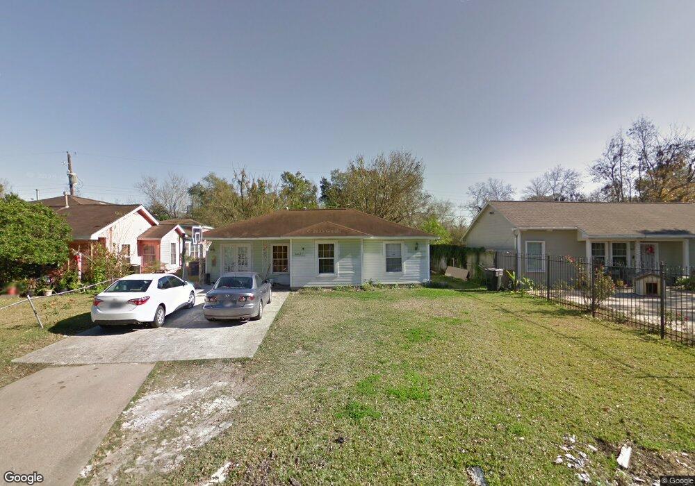
6427 Sherwood Dr Houston, TX 77021
OST-South Union NeighborhoodEstimated Value: $156,000 - $185,000
2
Beds
1
Bath
1,151
Sq Ft
$144/Sq Ft
Est. Value
About This Home
This home is located at 6427 Sherwood Dr, Houston, TX 77021 and is currently estimated at $165,651, approximately $143 per square foot. 6427 Sherwood Dr is a home located in Harris County with nearby schools including Peck Elementary School, Cullen Middle School, and Yates High School.
Ownership History
Date
Name
Owned For
Owner Type
Purchase Details
Closed on
May 8, 2018
Sold by
Terry Charles and Terry Dana
Bought by
Wilson Marlon
Current Estimated Value
Purchase Details
Closed on
Apr 5, 2004
Sold by
Davis Norris O
Bought by
Ocampo Angel Antonio and Ocampo Dina
Purchase Details
Closed on
May 19, 1995
Sold by
Cavanaugh Marjorie
Bought by
Davis Norris O
Create a Home Valuation Report for This Property
The Home Valuation Report is an in-depth analysis detailing your home's value as well as a comparison with similar homes in the area
Home Values in the Area
Average Home Value in this Area
Purchase History
| Date | Buyer | Sale Price | Title Company |
|---|---|---|---|
| Wilson Marlon | -- | None Available | |
| Ocampo Angel Antonio | -- | -- | |
| Davis Norris O | -- | -- |
Source: Public Records
Tax History Compared to Growth
Tax History
| Year | Tax Paid | Tax Assessment Tax Assessment Total Assessment is a certain percentage of the fair market value that is determined by local assessors to be the total taxable value of land and additions on the property. | Land | Improvement |
|---|---|---|---|---|
| 2025 | $732 | $151,750 | $99,891 | $51,859 |
| 2024 | $732 | $162,214 | $99,891 | $62,323 |
| 2023 | $732 | $159,888 | $99,891 | $59,997 |
| 2022 | $1,357 | $137,883 | $77,693 | $60,190 |
| 2021 | $1,306 | $110,314 | $49,946 | $60,368 |
| 2020 | $1,233 | $91,085 | $33,297 | $57,788 |
| 2019 | $1,172 | $77,085 | $27,748 | $49,337 |
| 2018 | $554 | $54,484 | $22,198 | $32,286 |
| 2017 | $968 | $54,484 | $22,198 | $32,286 |
| 2016 | $880 | $49,118 | $22,198 | $26,920 |
| 2015 | $413 | $47,327 | $22,198 | $25,129 |
| 2014 | $413 | $28,750 | $13,874 | $14,876 |
Source: Public Records
Map
Nearby Homes
- 0 Conley St
- 3922 Alsace St
- 0 Mt Pleasant St Unit 30800007
- 4520 Yellowstone Blvd
- 0 Stearns Unit 28305136
- 6418 Saint Augustine St
- 6417 Saint Augustine St
- 0 Balkin St Unit 31455471
- 0 Belvedere St Unit 84653424
- 0 St Augustine St Unit 38469599
- 3930 Daphne St
- 3931 Zephyr St
- 6405 Conley St
- 6418 England St
- 3939 Tristan St
- 6818 Saint Augustine St
- 0 Scott St
- 6202 Conley St
- 3806 Cosby St
- 0 Sidney St Unit 28682136
- 6423 Sherwood Dr
- 6431 Sherwood Dr
- 6419 Sherwood Dr
- 6435 Sherwood Dr
- 6428 Sherwood Dr
- 6415 Sherwood Dr
- 6503 Sherwood Dr
- 6422 Sherwood Dr
- 6434 Sherwood Dr
- 6508 Saint Augustine St
- 6411 Sherwood Dr
- 6507 Sherwood Dr
- 3939 Florinda St
- 3938 Luca St
- 6504 Saint Augustine St
- 6504 Sherwood Dr
- 6414 Sherwood Dr
- 6510 Saint Augustine St
- 6407 Sherwood Dr
- 6511 Sherwood Dr