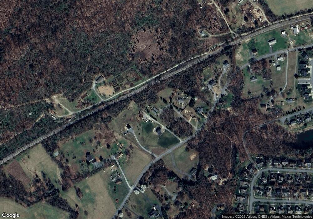
6428 Burnt Acres Ct Unit 6428 & 6430 Crozet, VA 22932
Estimated Value: $283,000 - $439,000
2
Beds
2
Baths
696
Sq Ft
$496/Sq Ft
Est. Value
About This Home
This home is located at 6428 Burnt Acres Ct Unit 6428 & 6430, Crozet, VA 22932 and is currently estimated at $345,488, approximately $496 per square foot. 6428 Burnt Acres Ct Unit 6428 & 6430 is a home located in Albemarle County with nearby schools including Crozet Elementary School, Joseph T. Henley Middle School, and Western Albemarle High School.
Ownership History
Date
Name
Owned For
Owner Type
Purchase Details
Closed on
May 9, 2022
Sold by
Side Porch Realty Llc
Bought by
Nature First Llc
Current Estimated Value
Purchase Details
Closed on
Jan 21, 2022
Sold by
Side Porch Realty Llc
Bought by
Rubin Rebecca R and Halterman Harold L
Purchase Details
Closed on
Feb 11, 2020
Sold by
Dubroff Nicholas and Dubroff Christine
Bought by
Side Porch Realty Llc
Purchase Details
Closed on
Oct 9, 2018
Sold by
Davis Gayle D
Bought by
Dubroff Nicholas and Dubroff Christine
Purchase Details
Closed on
Aug 17, 2017
Sold by
Beard Ronald Kenneth
Bought by
Davies Gayle D
Home Financials for this Owner
Home Financials are based on the most recent Mortgage that was taken out on this home.
Original Mortgage
$162,011
Interest Rate
3.92%
Mortgage Type
FHA
Create a Home Valuation Report for This Property
The Home Valuation Report is an in-depth analysis detailing your home's value as well as a comparison with similar homes in the area
Home Values in the Area
Average Home Value in this Area
Purchase History
| Date | Buyer | Sale Price | Title Company |
|---|---|---|---|
| Nature First Llc | $240,000 | Chicago Title | |
| Rubin Rebecca R | $40,000 | Chicago Title | |
| Side Porch Realty Llc | -- | Chicago Title Insurance Co | |
| Dubroff Nicholas | $200,000 | Chicago Title Insurance Co | |
| Davies Gayle D | $181,400 | Chicago Title Insurance |
Source: Public Records
Mortgage History
| Date | Status | Borrower | Loan Amount |
|---|---|---|---|
| Previous Owner | Davies Gayle D | $162,011 |
Source: Public Records
Tax History Compared to Growth
Tax History
| Year | Tax Paid | Tax Assessment Tax Assessment Total Assessment is a certain percentage of the fair market value that is determined by local assessors to be the total taxable value of land and additions on the property. | Land | Improvement |
|---|---|---|---|---|
| 2025 | $2,721 | $304,400 | $151,800 | $152,600 |
| 2024 | $2,489 | $291,500 | $151,800 | $139,700 |
| 2023 | $2,417 | $283,000 | $142,300 | $140,700 |
| 2022 | $1,641 | $192,100 | $132,100 | $60,000 |
| 2021 | $1,600 | $187,300 | $128,000 | $59,300 |
| 2020 | $1,444 | $169,100 | $86,000 | $83,100 |
| 2019 | $1,395 | $163,400 | $84,100 | $79,300 |
| 2018 | $1,315 | $153,100 | $76,800 | $76,300 |
| 2017 | $1,345 | $160,300 | $65,800 | $94,500 |
| 2016 | $1,135 | $135,300 | $87,600 | $47,700 |
| 2015 | $1,084 | $132,300 | $87,600 | $44,700 |
| 2014 | -- | $131,700 | $87,600 | $44,100 |
Source: Public Records
Map
Nearby Homes
- 1811 Lanetown Way
- 1211 Lanetown Rd
- 1445 Orchard Dr
- 1439 Orchard Dr
- 6119 - 8 Jarmans Gap Rd
- 6119 - 8 Jarmans Gap Rd Unit Lot 8 Jarmans Gap
- 6175 Jarmans Gap Rd
- 4 Jarmans Gap Rd
- 4 Jarmans Gap Rd Unit Lot 4 Jarmans Gap
- 3B Jarmans Gap Rd
- 3B Jarmans Gap Rd Unit Lot 3B Jarmans Gap
- 6119 - 1 Jarmans Gap Rd Unit Lot 1 Jarmans Gap
- 6119 - 1 Jarmans Gap Rd
- 3C Jarmans Gap Rd Unit Lot 3C Jarmans Gap
- 3C Jarmans Gap Rd
- 3 Jarmans Gap Rd
- 3 Jarmans Gap Rd Unit Lot 3 Jarmans Gap
- 2 Jarmans Gap Rd Unit Lot 2 Jarmans Gap
- 2 Jarmans Gap Rd
- 6306 Freedom Blvd
- 6428 Burnt Acres Ct Unit 6428 & 6430
- 6428 Burnt Acres Ct
- 6428 Burnt Acres Ct
- 6428 & 6430 Burnt Acres Ct Unit 6428 & 6430
- 1336 Lanetown Rd
- 6424 Burnt Acres Ct
- 1320 Lanetown Rd
- TBD - Lot 1 Lanetown Rd
- TBD - Lot 2 Lanetown Rd
- 6422 Burnt Acres Ct
- 1364 Lanetown Rd
- 1250 Lanetown Rd
- 1368 Lanetown Rd
- 1369 Lanetown Rd
- 1333 Lanetown Rd
- 1374 Lanetown Rd
- 1252 Lanetown Rd
- 1244 Lanetown Rd
- 6404 Marymart Farm Rd
- 1343 Lanetown Rd
