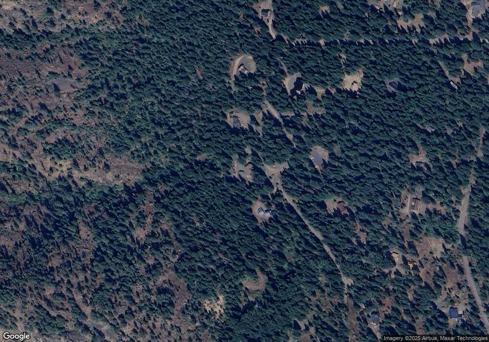
64280 Tamarack Rd Lostine, OR 97857
Estimated Value: $603,000 - $752,000
4
Beds
3
Baths
2,125
Sq Ft
$321/Sq Ft
Est. Value
About This Home
This home is located at 64280 Tamarack Rd, Lostine, OR 97857 and is currently estimated at $683,123, approximately $321 per square foot. 64280 Tamarack Rd is a home located in Wallowa County with nearby schools including Wallowa Elementary School and Wallowa High School.
Ownership History
Date
Name
Owned For
Owner Type
Purchase Details
Closed on
Jan 9, 2017
Sold by
Schlatter Malinda P
Bought by
Wecks Paul L and Wecks Kathleen P
Current Estimated Value
Home Financials for this Owner
Home Financials are based on the most recent Mortgage that was taken out on this home.
Original Mortgage
$92,000
Outstanding Balance
$75,170
Interest Rate
4.08%
Mortgage Type
New Conventional
Estimated Equity
$607,953
Create a Home Valuation Report for This Property
The Home Valuation Report is an in-depth analysis detailing your home's value as well as a comparison with similar homes in the area
Purchase History
| Date | Buyer | Sale Price | Title Company |
|---|---|---|---|
| Wecks Paul L | $337,000 | Lawyers Title |
Source: Public Records
Mortgage History
| Date | Status | Borrower | Loan Amount |
|---|---|---|---|
| Open | Wecks Paul L | $92,000 |
Source: Public Records
Tax History
| Year | Tax Paid | Tax Assessment Tax Assessment Total Assessment is a certain percentage of the fair market value that is determined by local assessors to be the total taxable value of land and additions on the property. | Land | Improvement |
|---|---|---|---|---|
| 2025 | $2,640 | $223,568 | $51,670 | $171,898 |
| 2024 | $2,569 | $217,057 | $49,715 | $167,342 |
| 2023 | $2,491 | $210,735 | $48,267 | $162,468 |
| 2022 | $2,419 | $204,598 | $49,375 | $155,223 |
| 2021 | $2,330 | $198,639 | $48,247 | $150,392 |
| 2020 | $2,036 | $192,854 | $47,150 | $145,704 |
| 2019 | $1,982 | $187,237 | $44,987 | $142,250 |
| 2018 | $1,931 | $181,784 | $44,815 | $136,969 |
| 2017 | $1,880 | $176,490 | $43,508 | $132,982 |
| 2016 | $1,830 | $171,350 | $0 | $0 |
| 2015 | $1,782 | $166,360 | $35,321 | $131,039 |
| 2014 | $1,736 | $161,515 | $36,964 | $124,551 |
| 2013 | $1,690 | $156,811 | $33,304 | $123,507 |
Source: Public Records
Map
Nearby Homes
- 0 Fir Rd
- 0 Granger Rd Unit 291345507
- 61005 Lime Quarry Rd
- 61687 Lime Quarry Rd
- 81202 Reavis Ln
- 109 Highway 82
- 0 Red Hawk Ln Unit 194945137
- 82580 Boner Ln
- 82695 Fish Hatchery Ln
- 212 Court St
- 203 Court St
- 205 William St
- 82495 Fish Hatchery Ln
- 609 Mildred St
- 110 N Holmes St
- 515 W Main St
- 305 Montclair St
- 118 Fish Hatchery Ln
- 201 Litch St
- 0 S River St
- 64306 Tamarack Rd
- 22 Tamarack Rd
- 64420 Tamarack Rd
- 64277 Tamarack Rd
- 64330 Tamarack Rd
- 21 Tamarack Ln
- 64368 Tamarack Rd
- 0 Cregger Unit 12320894
- 64480 Lostine River Rd
- 64705 Lostine River Rd
- 64707 Lostine River Rd
- 64989 Lostine River Rd
- 64278 Lostine River Rd
- 0 Tamarack Ln Unit 9018714
- 0 Tamarack Ln Unit 10047158
- 0 Tamarack Ln Unit 10 12489745
- 0 Tamarack Ln Unit 16359405
- 64370 Lostine River Rd
- 64446 Lostine River Rd
- 64353 Lostine River Rd
