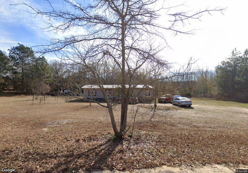
643 Camp Branch Rd Leesville, SC 29070
Estimated Value: $85,000 - $188,473
3
Beds
2
Baths
1,440
Sq Ft
$88/Sq Ft
Est. Value
About This Home
This home is located at 643 Camp Branch Rd, Leesville, SC 29070 and is currently estimated at $126,491, approximately $87 per square foot. 643 Camp Branch Rd is a home located in Lexington County with nearby schools including Centerville Elementary School, Gilbert Middle School, and Gilbert High School.
Ownership History
Date
Name
Owned For
Owner Type
Purchase Details
Closed on
Mar 16, 2018
Sold by
Martin Wilder Aletha
Bought by
Martin Wilder Aletha and North Lee Curtis
Current Estimated Value
Purchase Details
Closed on
Mar 13, 2018
Sold by
Branch Banking And Trust Company
Bought by
Martin Wilder Aletha
Purchase Details
Closed on
Sep 19, 2017
Sold by
Jirel Catherine Vernette and Jowers Billy
Bought by
Branch Banking And Trust Company
Purchase Details
Closed on
Sep 8, 2015
Sold by
Jirel Catherine V and Jirel Catherine V
Bought by
Jowers Billy
Purchase Details
Closed on
May 15, 2002
Sold by
Davis Elaine S
Bought by
Jirel Catherine
Create a Home Valuation Report for This Property
The Home Valuation Report is an in-depth analysis detailing your home's value as well as a comparison with similar homes in the area
Home Values in the Area
Average Home Value in this Area
Purchase History
| Date | Buyer | Sale Price | Title Company |
|---|---|---|---|
| Martin Wilder Aletha | -- | None Available | |
| Martin Wilder Aletha | $31,000 | None Available | |
| Branch Banking And Trust Company | -- | None Available | |
| Jowers Billy | $211 | -- | |
| Jirel Catherine | $67,000 | -- |
Source: Public Records
Tax History
| Year | Tax Paid | Tax Assessment Tax Assessment Total Assessment is a certain percentage of the fair market value that is determined by local assessors to be the total taxable value of land and additions on the property. | Land | Improvement |
|---|---|---|---|---|
| 2024 | $203 | $1,240 | $572 | $668 |
| 2023 | $185 | $1,240 | $572 | $668 |
| 2022 | $185 | $1,240 | $572 | $668 |
| 2020 | $189 | $1,240 | $572 | $668 |
| 2019 | $199 | $1,240 | $572 | $668 |
| 2018 | $299 | $1,959 | $572 | $1,387 |
| 2017 | $499 | $1,026 | $858 | $168 |
| 2016 | $483 | $1,026 | $858 | $168 |
| 2014 | $84 | $594 | $514 | $80 |
| 2013 | -- | $590 | $510 | $80 |
Source: Public Records
Map
Nearby Homes
- 226 Providence Rd
- 2715 Pond Branch Rd
- 5008 Two Notch Rd
- 1531 Dixired Rd
- 369 Bethlehem Cir
- 357 Bethlehem Cir
- 1650 Broad St
- 1672 Dixired Rd
- 1717 Dixired Rd
- 4652 Two Notch Rd
- 1015 Sandpit Rd Unit 29
- 1015 Sandpit Rd Unit 10
- 1015 Sandpit Rd Unit 14
- 105 Indian Trace Ct
- 506 Hallman Mill Rd
- 180 Green Hills Dr
- 112 Pineoak Ct
- 0 Marcellus Rd
- 396 Volliedale Dr
- 6935 Two Notch Rd
- 640 Camp Branch Rd
- 644 Camp Branch Rd
- 123 Blackfoot Trail
- 652 Camp Branch Rd
- 512 Green Gold Dr
- 600 Green Gold Dr
- 636 Green Gold Dr
- 720 Camp Branch Rd
- 535 Green Gold Dr
- 607 Green Gold Dr
- 501 Green Gold Dr
- 638 Camp Branch Rd
- 729 Camp Branch Rd
- 726 Camp Branch Rd
- 737 Camp Branch Rd
- LOT 44 Longview Dr
- 0 Brairwood Rd Unit 443038
- 0 Loblolly Rd Unit 451910
- 32/C W Side Hampton St
- 31/C W Side Hampton St
Your Personal Tour Guide
Ask me questions while you tour the home.